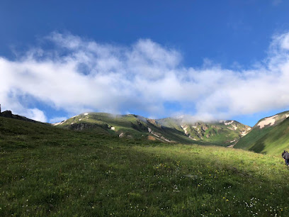
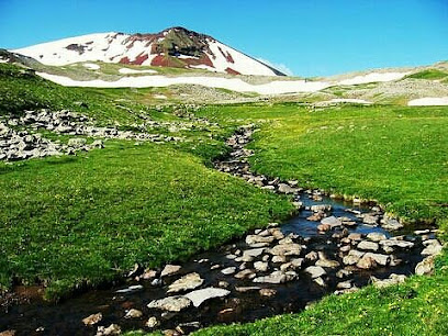
Gegham Mountains: Armenia's Volcanic Highlands
Explore Armenia's Gegham Mountains: Volcanic peaks, ancient petroglyphs, and stunning alpine scenery await adventurous travelers.
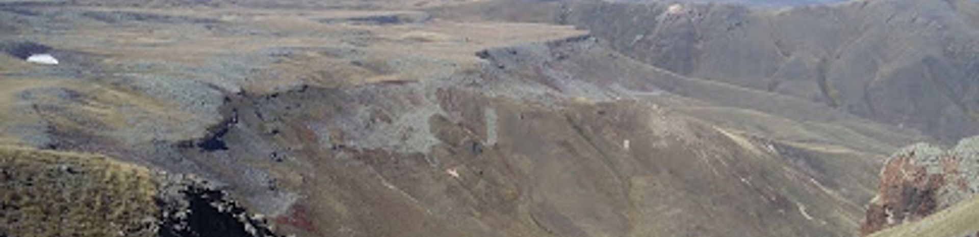
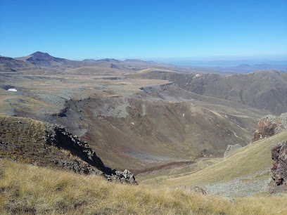
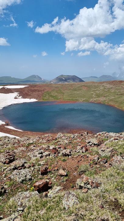
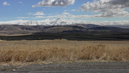
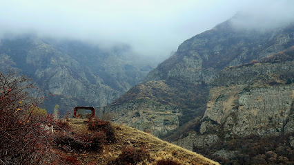
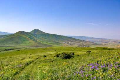
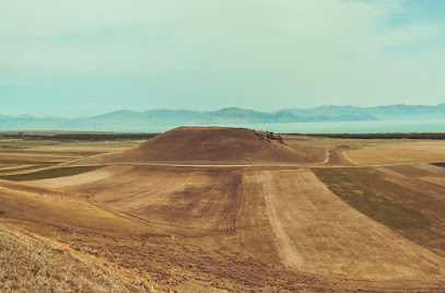
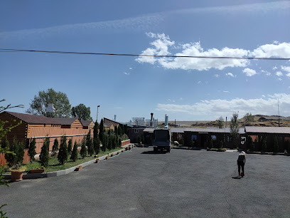
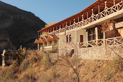
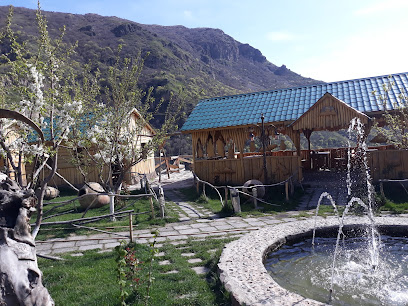
The Gegham Mountains, a volcanic range in Armenia, offer a unique landscape of extinct volcanoes, crater lakes, and ancient petroglyphs. Stretching between Lake Sevan and the Ararat Plain, the range is a haven for hikers and nature enthusiasts seeking remote beauty and historical intrigue.
A brief summary to Gegham Mountains
- AM
Local tips
- Visit in the summer months (July-August) for the best weather conditions and access to water sources.
- Be prepared for remote hiking with limited facilities; bring plenty of water, food, and appropriate gear.
- Consider hiring a local guide for a more enriching experience and to navigate the trails safely.
- Explore the ancient petroglyphs and vishap stones to discover the rich history and culture of the region.
- Check weather forecasts before you go, as conditions in the mountains can change rapidly.
Getting There
-
Public Transport
From Yerevan, take a marshrutka (minibus) from the Northern Bus Station towards a town closer to the mountains, such as Tsaghkadzor or Garni. The journey to Tsaghkadzor takes about 1.5 hours and costs approximately 1,500 AMD. From there, hire a taxi to reach specific trailheads or destinations within the Gegham Mountains; expect to pay around 3,000-5,000 AMD for shorter trips.
-
Taxi
A direct taxi from Yerevan to the Gegham Mountains takes approximately 39 minutes and costs between $10-$13 (USD). However, note that this would only take you to the edge of the mountain range, and further transport may be needed to reach specific hiking spots.
-
Car
From Yerevan, head east on the M1 highway towards Garni. After approximately 30 km, take the exit towards Hrazdan and continue on the M4 road. Follow signs for Tsaghkadzor, after which you will enter the Gegham Mountains area. Look for parking near popular trailheads. Keep in mind that roads within the mountain range may be unpaved and require a 4x4 vehicle.
Discover more about Gegham Mountains
Iconic landmarks you can’t miss
Gegham Mountains
0.0 km
Explore Armenia's Gegham Mountains: Volcanic peaks, ancient petroglyphs, and stunning alpine scenery await adventurous travelers.
Azhdahak
5.7 km
Discover the breathtaking beauty and adventure of Azhdahak, Armenia's iconic mountain peak, perfect for nature lovers and thrill-seekers.
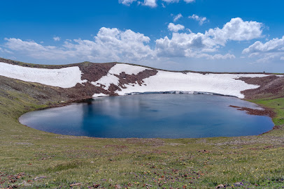
Azhdahak Mountain
5.8 km
Explore the stunning Azhdahak Mountain, Armenia's majestic crater known for its breathtaking views and diverse hiking trails.
Lake Aknalich
6.4 km
Discover the tranquil beauty of Lake Aknalich, a hidden gem in Armenia surrounded by majestic mountains and lush landscapes.
Aghdagh Lerr
9.2 km
Explore Aghdagh Lerr, a breathtaking mountain peak in Armenia, where nature and adventure blend seamlessly amidst stunning panoramic views.
Գավառի անձնագիր-հուշապատ
15.0 km
Discover the historical landmark of Gavar, where rich Armenian heritage meets stunning architecture in a serene setting.
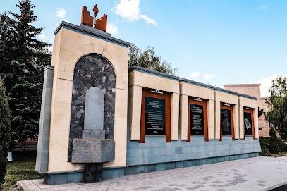
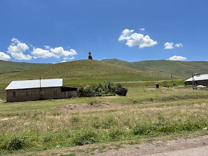
Soviet-era World War II Statue
17.0 km
Explore the Soviet-era World War II Statue, a monumental tribute to resilience and sacrifice, offering a profound glimpse into history and culture.

Shoghakavank
19.1 km
Explore the serene beauty and rich history of Shoghakavank Monastery in Dzoragyugh, a perfect retreat for spiritual and cultural travelers.
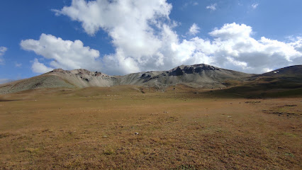
Ghegam Ridge
20.6 km
Explore Ghegam Ridge, a majestic mountain peak in Armenia offering stunning views, thrilling hikes, and rich biodiversity for nature enthusiasts.
Monument
20.9 km
Explore Geghard Monastery, a UNESCO World Heritage site, and immerse yourself in Armenia's breathtaking historical and spiritual heritage.
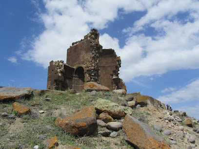
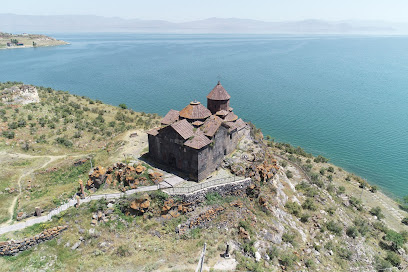
Hayravank Monastery
21.2 km
Explore the historic Hayravank Monastery by Lake Sevan, a serene sanctuary that showcases Armenia's rich heritage and breathtaking landscapes.
Mount Hatis
24.0 km
Discover the breathtaking beauty of Mount Hatis, a must-visit mountain peak in Armenia offering stunning views and thrilling hiking adventures.
Kaptavank Church
26.1 km
Discover Kaptavank Church, a tranquil Armenian church in Kaputan, offering stunning views, rich history, and a serene retreat for all visitors.
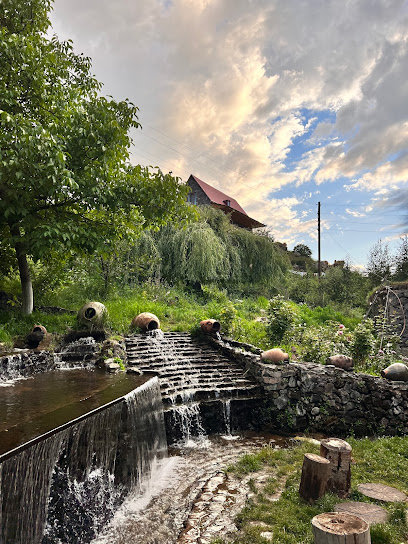
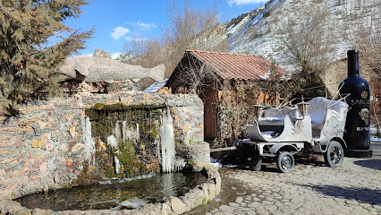
Au Moulin Tatoyan (ջրաղացի մոտ)
26.7 km
Experience tranquility at Au Moulin Tatoyan, a charming riverside guesthouse in Nerkin Getashen, Armenia, blending history and nature.
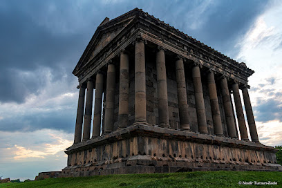
Garni Temple
27.9 km
Explore Armenia's only Greco-Roman temple, a majestic monument to the sun god Mihr and a symbol of pre-Christian heritage.
Unmissable attractions to see
Gridzor
4.7 km
Explore Gridzor's breathtaking trails in Armenia's Geghama Mountains: diverse hikes, stunning views, and serene nature await!
Gegham Ridge
4.9 km
Explore the majestic Gegham Ridge in Armenia: hike volcanic peaks, discover ancient petroglyphs, and witness breathtaking panoramic views.
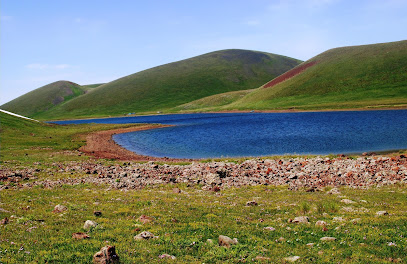
The lake with stones (QARAYIN,Քարային լիճը)
9.5 km
Discover Qarayin Lake: A stunning Armenian national reserve with crystal waters and unique stone formations in the Geghama Mountains.
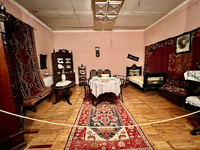
Gegharkunik History Museum
15.2 km
Discover Gegharkunik's past at the History Museum in Gavar, exploring artifacts from ancient times to modern Armenia.
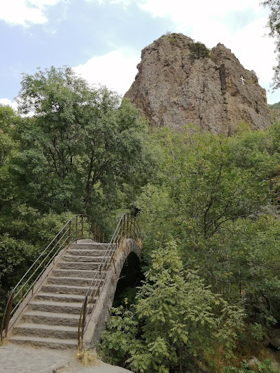
Cross & View Point
19.0 km
Discover breathtaking panoramic views and serene tranquility at Cross & View Point in Mets Gilanlar, a must-visit for nature lovers and photographers.
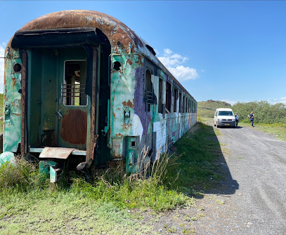
Train wagon Armenia
20.0 km
Step back in time and explore Armenia's railway history at the unique Train Wagon attraction in Gavar, a hidden gem for history buffs and families.
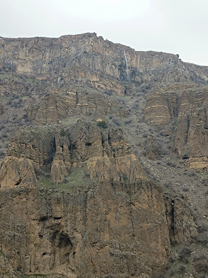
Cave of Stones
20.1 km
Explore the mesmerizing Cave of Stones in Mets Gilanlar, Armenia, a geological treasure offering a unique natural adventure and stunning formations.
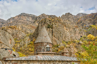
Geghard Monastery
20.1 km
Explore the breathtaking Geghard Monastery, a UNESCO World Heritage Site that embodies Armenia's rich history and stunning natural landscapes.
H3
20.2 km
Explore Armenia's only standing Greco-Roman temple, a majestic monument to a rich pagan past, offering stunning views and historical insights.
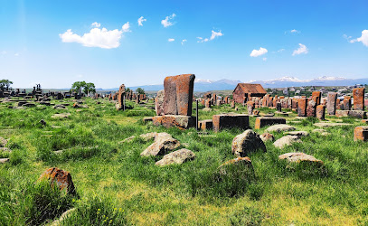
Noratus Cemetery
20.3 km
Explore Armenia's largest collection of medieval khachkars at Noratus Cemetery, a unique cultural and historical treasure near Lake Sevan.
Gokht Camping
21.5 km
Discover Gokht Camping: A serene Armenian escape offering breathtaking hikes, cultural immersion, and a tranquil connection with nature.
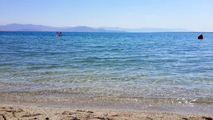
Հայրավանք գյուղի լողափ
21.7 km
Discover tranquility at Hayravank Beach, a serene lakeside retreat with historic charm on the shores of Armenia's stunning Lake Sevan.
Shahabasa park
22.0 km
Escape to Shahabasa Park: A serene Armenian oasis with lush landscapes, vibrant flowers, and peaceful walking paths for ultimate relaxation.
Հերի բնակատեղի
22.5 km
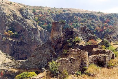
Explore the unexcavated ruins of Heri Settlement, an ancient window into Armenia's past.
Kakavaberd (Keghi fortress)
23.0 km
Explore Kakavaberd Fortress: A medieval Armenian stronghold with stunning views in the heart of Khosrov Forest State Reserve.
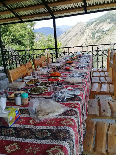
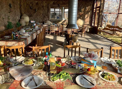
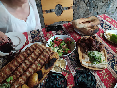
Essential places to dine
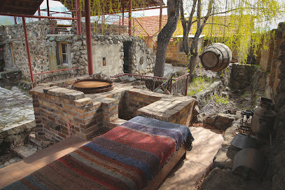
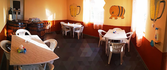
Berkut restaurant
16.1 km
Experience authentic Armenian cuisine at Berkut Restaurant in Gavar - where tradition meets taste in every dish.
ROYAL FISH
20.0 km
Discover Royal Fish: A top seafood destination in Hayravank offering stunning lake views and authentic Armenian flavors.
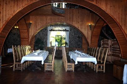
Գեղարդ
20.6 km
Experience authentic Armenian cuisine at Geghard in Kotayk – where tradition meets flavor in every bite.
Գողթ
20.9 km
Experience authentic Armenian cuisine in the picturesque village of Goght with stunning views and warm hospitality.
Lus Bread house
21.5 km
Discover authentic Armenian cuisine at Lus Bread House in Goght - where tradition meets flavor amidst stunning scenery.
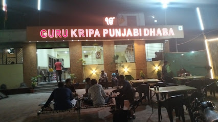
Guru Kripa Punjabi Dhaba
22.0 km
Discover authentic Punjabi flavors at Guru Kripa Punjabi Dhaba – where every meal is a celebration of taste and tradition.
Mer Hayat Hacaran
22.0 km
Experience authentic Armenian cuisine at Mer Hayat Hacaran - where tradition meets taste in a cozy setting.
Tarsus_Sevan
25.3 km
Discover authentic Armenian flavors at Tarsus Sevan in Tsovazard village, overlooking stunning Lake Sevan.
My Garden / Իմ Այգին
26.2 km
Experience authentic Armenian cuisine in a beautiful garden setting at My Garden in Garni.
Restaurant Im Ojakh
26.3 km
Experience authentic Armenian cuisine at Restaurant Im Ojakh in Garni – where tradition meets flavor!
Aghbyuri Achq
26.3 km
Discover authentic Armenian cuisine at Aghbyuri Achq in Garni – a culinary journey through rich flavors and warm hospitality.
Garni Ishxananoc
26.6 km
Experience authentic Armenian cuisine at Garni Ishxananoc in the breathtaking village of Garni, where tradition meets flavor.
Byurakn Restaurant
26.6 km
Discover authentic Armenian cuisine at Byurakn Restaurant in Abovyan - where tradition meets taste.
Little Farm
26.6 km
Experience authentic Armenian cuisine at Little Farm in Village Akunk - where fresh ingredients meet traditional flavors.
Akunki Drakht Restaurant
26.6 km
Discover authentic Armenian flavors at Akunki Drakht Restaurant in scenic Akunk village.
Markets, malls and hidden boutiques
Tsaghkashen Khanut Shop
7.1 km
Explore the heart of Tsaghkashen through its Khanut Shop, where local crafts and traditional flavors come together in a warm and welcoming atmosphere.
From Iskuhi
12.7 km
Explore the unique blend of traditional and modern fashion at From Iskuhi, a hidden gem in Sarukhan's vibrant shopping scene.
Vachik Market
14.1 km
Experience the vibrant culture of Gavar at Vachik Market, where local flavors and friendly faces await every visitor.
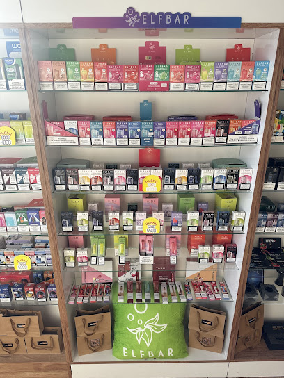
Vape Shop Gavar
14.8 km
Explore the ultimate vaping experience at Vape Shop Gavar, where quality meets variety in the heart of Armenia.
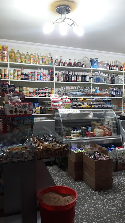
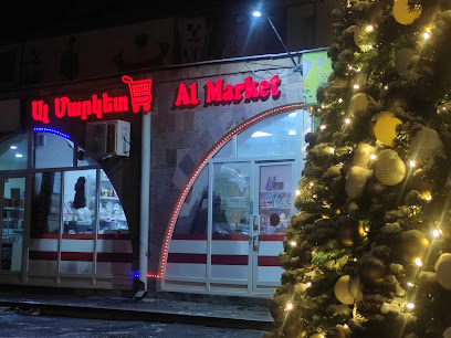
Al Market
14.9 km
Discover local flavors and vibrant culture at Al Market, Gavar's bustling grocery store filled with fresh produce and traditional Armenian delicacies.
Wildberries
14.9 km
Explore the vibrant shopping haven of Wildberries in Gavar, where local culture meets a diverse array of products for every traveler.
Gavar
14.9 km
Discover Gavar's vibrant shopping mall, a cultural and retail hub that showcases local and international brands in a lively atmosphere.
Մարկետ
15.0 km
Explore the authentic flavors of Armenia at Мարկет, Karmirgyugh's beloved grocery store, featuring fresh produce, local delicacies, and a warm community vibe.
Ժանյակ
15.1 km
Discover the heart of Armenian culture at Ժանյակ, a vibrant store in Gavar offering unique local products and a friendly atmosphere.
Arevik park
15.5 km
Experience the thrill and beauty of Arevik Park, a premier amusement park in Gavar, Armenia, perfect for family fun and adventure.
AYRIVAN Supermarket
15.5 km
Experience the heart of Gavar at AYRIVAN Supermarket, where local flavors and friendly service meet a diverse selection of products.
Grand Market
15.9 km
Experience the essence of Armenian culture at Grand Market, Gavar's vibrant shopping hub offering local produce and unique handicrafts.
Универсам
16.0 km
Discover the vibrant local culture and unique products at Универсам in Gavar, a must-visit store for every traveler.

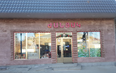
Խանութ
16.2 km
Explore the heart of Gavar through its vibrant store, featuring local crafts, unique souvenirs, and authentic Armenian culture.
BARBIE-LAND
16.3 km
Dive into the imaginative world of Barbie-Land, a colorful clothing store in Yeranos offering unique fashion experiences for all ages.
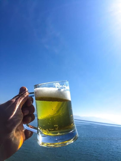
Essential bars & hidden hideouts
Totobet
16.0 km
Totobet in Gavar: A lively sports bar where excitement and community meet, perfect for enjoying live sports with friends.
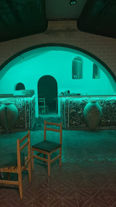
BOTUL beer & more
22.0 km
Explore the vibrant craft beer scene at BOTUL Beer & More, a brewpub in Tumanyan offering local flavors and a cozy atmosphere perfect for tourists.
Beer House (пивбар)
23.0 km
Experience the lively atmosphere and local flavors at Beer House in Lchap, a top pub destination for tourists and locals alike.
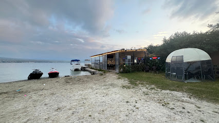
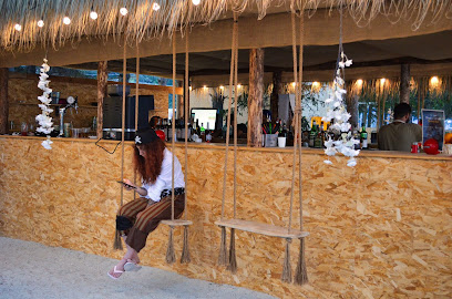
fishermans house resort
24.6 km
Discover the charm of Fisherman's House Resort in Tsovazard, where local brews and traditional cuisine come together in a picturesque setting.
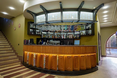
Hotel
25.4 km
Experience comfort and local flavors at Garni Lounge, the perfect spot to relax after exploring Armenia's stunning landscapes.
You Fakyu
25.5 km
Discover Kamaris’ vibrant bar scene at You Fakyu, a lively hub for craft cocktails and local brews that epitomizes Armenian hospitality.
Castle House
27.4 km
Relax and unwind at Castle House, a charming bar in Garni offering local drinks, snacks, and a cozy atmosphere amidst stunning Armenian landscapes.
Abovyan
27.8 km
Discover Abovyan: A vibrant Armenian town with lively bars, rich culture, and stunning landscapes waiting to be explored.
SAMO CLUB
29.5 km
SAMO CLUB in Yerevan: A vibrant bar experience, blending local culture with energetic nightlife, perfect for tourists seeking fun and entertainment.
Restaurant Bardiner Ռեստորան Բարդիներ
29.5 km
Experience the best of Armenian cuisine at Restaurant Bardiner in Mayakovski, where traditional flavors meet modern flair.
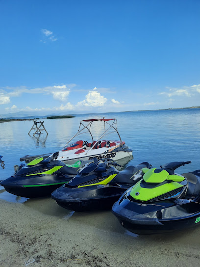
The View I Sevan
30.0 km
Experience stunning views and delightful cuisine at The View I Sevan - a unique bar by Lake Sevan offering a perfect escape in Armenia.
DeLuxe
30.5 km
Experience the heart of Armenian cuisine at DeLuxe Restaurant in Abovyan, where every meal is a celebration of local flavors and hospitality.
Maku cafe-restaurant
30.6 km
Experience the rich flavors of Armenia at Maku Cafe-Restaurant in Abovyan, offering a delightful fusion of local and international dishes in a cozy setting.
Durs Bar & Grill
30.6 km
Experience the best grilled flavors at Durs Bar & Grill in Sevan, where local ingredients meet a vibrant dining atmosphere.
Cocobello Beach
30.7 km
Discover the serene beauty of Cocobello Beach, a tranquil bar at Lake Sevan offering stunning views and a perfect escape for tourists.
Nightclubs & after hour spots
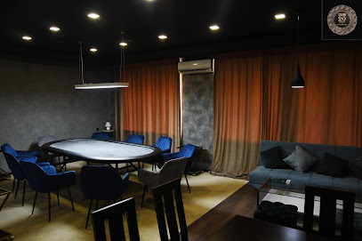
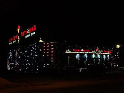
Imperia
13.2 km
Experience the electrifying nightlife at Imperia, Gegharkunik's premier night club, where unforgettable moments await.
Katalina Show Club
31.3 km
Experience the vibrant nightlife at Katalina Show Club in Hrazdan, where music, dance, and entertainment come together for an unforgettable night.
Koko
35.4 km
Experience the vibrant nightlife at Koko Night Club in Abovyan, Armenia - where music, dancing, and unforgettable moments come together.

Matreshka Show Club
35.4 km
Discover Yerevan's vibrant nightlife at Matreshka Show Club with electrifying performances and an unforgettable atmosphere.
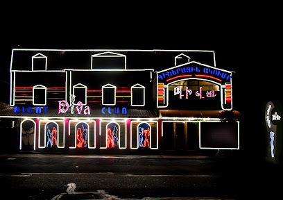
Diva
35.5 km
Diva Nightclub: Where Yerevan's Vibrant Nightlife Comes Alive with Music, Dance, and Cultural Experiences.
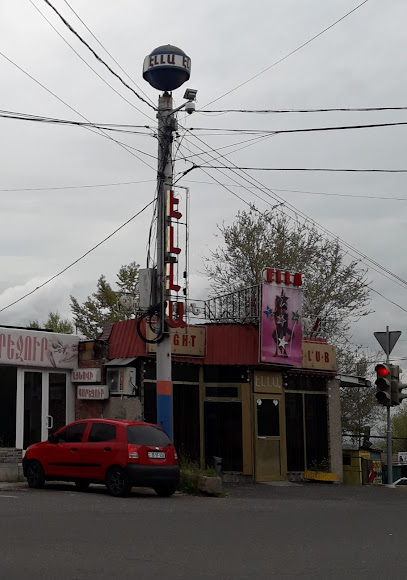
Ella
37.0 km
Experience the vibrant nightlife of Yerevan at Ella Night Club, where music, dancing, and delightful drinks create unforgettable nights.
SINDY SHOW CLUB
38.3 km
Dive into the heart of Yerevan's nightlife at Sindy Show Club, where dance, music, and entertainment come alive!
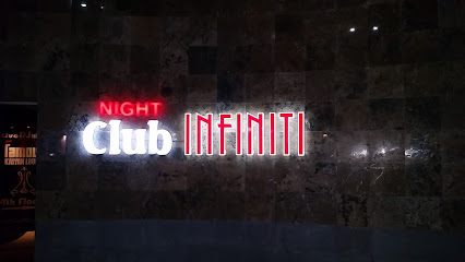
Infiniti Night Club
38.3 km
Discover the electrifying nightlife of Tsaghkadzor at Infiniti Night Club, where vibrant music and a lively crowd create unforgettable memories.
Crazy Show Club
38.7 km
Experience the electrifying nightlife at Crazy Show Club in Yerevan, where unforgettable performances and vibrant music create an unparalleled atmosphere.
Club 20
40.0 km
Discover the vibrant nightlife of Yerevan at Club 20, a top lounge destination for cocktails and unforgettable experiences.