From Eve
Know before you go
Hi, I'm Eve. Here are a few practical things to know before exploring Sortehusene.
Local know-how to help you travel smarter and make the most of every moment.

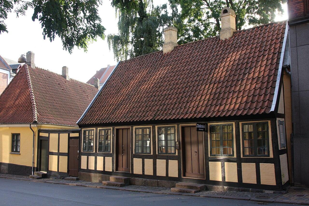
Historic black houses preserving working-class resilience on Odense's waterfront.
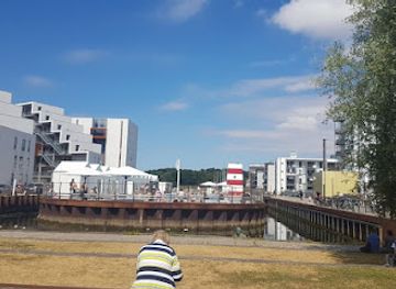
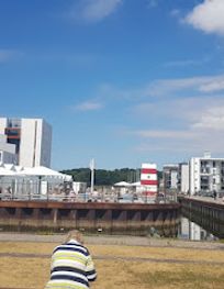
Sortehusene is a collection of approximately 30 small, hand-built houses constructed from wood, tar paper, and recycled materials on the south coast of Stige Ø in Odense. Originally erected in the early 1900s as informal housing for working-class families, these distinctive black structures represent a unique chapter in Danish social history. Today, roughly half of the original houses remain and function as holiday cottages, offering visitors a glimpse into a resilient community that once thrived in primitive conditions without electricity, running water, or sanitation.
Opening times, essentials, and a few local tips gathered into one calmer, easier-to-scan planning section.
Hi, I'm Eve. Here are a few practical things to know before exploring Sortehusene.
Local know-how to help you travel smarter and make the most of every moment.
Bicycle from Odense City Centre
Rent a bicycle in central Odense and cycle approximately 4–5 kilometres via the Odense Canal towpath to reach Sortehusene. The route follows dedicated cycling infrastructure along the canal, taking 15–25 minutes depending on pace. This is the most popular and practical option for visitors, offering scenic views of the waterfront. Bicycle rentals are widely available throughout Odense city centre.
Public Bus from Odense Station
Take local bus services from Odense Central Station or city centre stops toward Stige Ø. Journey time is approximately 20–30 minutes depending on route and stops. Bus frequency varies seasonally; check Midtrafik timetables for current schedules. Single journey tickets cost approximately 24–36 DKK. This option suits visitors without bicycles, though walking from the bus stop to Sortehusene may require 10–15 minutes on local paths.
Car with Parking
Drive from Odense city centre via Østre Kanalvej, which provides direct access to Stige Ø. Parking is available at designated areas near the entrance to Stige Ø, typically free or low-cost. Journey time from the city centre is approximately 10–15 minutes. Note that the final approach to Sortehusene itself involves walking along island paths; vehicles cannot access the houses directly.
Walking from Stige Ø Entrance
If arriving by car or bus at the main Stige Ø entrance, walk along the marked trail system toward the southern coast where Sortehusene is located. The walk takes approximately 20–30 minutes depending on your exact starting point and pace. Trails are generally well-maintained and suitable for most fitness levels, though the terrain includes some gentle slopes from the island's former landfill topography.
Use Sortehusene as your starting point for nearby food, family ideas, nightlife, and more local discoveries.
A quick look at seasonal patterns and peak visiting hours.

Explore expert travel guides, compare and book tours, experiences, hotels, and more—all from the palm of your hand. Download now for seamless trip planning wherever your wanderlust takes you.
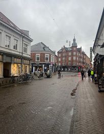
Discover Odense, Denmark's enchanting city where fairy tales come to life amidst historic streets, vibrant culture, and scenic beauty.
Tell me more about Odense