

Porcupine Mountains Wilderness State Park Travel Guide - Free Web & App
Your ultimate guide to Porcupine Mountains Wilderness State Park. Discover top landmarks, proposed trips, and local tips. Free on the web or via the Evendo companion app.


Porcupine Mountains Wilderness State Park in Michigan offers Lake Superior scenery, old-growth forest, waterfalls, hiking, skiing and remote wilderness escapes.
Landscape and Wilderness
On Michigan’s Upper Peninsula, the Porcupine Mountains Wilderness State Park occupies a broad, rugged tract along the south-western shore of Lake Superior. Often called the Porkies, the park combines forested ridges, deep ravines, tumbling rivers, inland lakes and a long, undeveloped lakeshore. Its 60,000-acre landscape is among the largest protected wilderness areas in Michigan, with extensive tracts of northern hardwood forest and some of the state’s notable remaining old-growth woodland. The terrain is not mountainous in the alpine sense, but its steep escarpments and high ridges create striking changes in elevation and long views across the surrounding forest and Lake Superior.Read more about Porcupine Mountains Wilderness State Park
Water, Forest and Wildlife
Exploring the Porkies
When is the best time to visit Porcupine Mountains Wilderness State Park?
Best: June–August · 21–24°C| Month | High (°C) | Rainfall (mm) |
|---|---|---|
| January | -5 | 60 |
| February | -3 | 49 |
| March | 3 | 56 |
| April | 10 | 71 |
| May | 16 | 76 |
| June (best) | 21 | 78 |
| July (best) | 24 | 81 |
| August (best) | 23 | 82 |
| September | 19 | 85 |
| October | 13 | 71 |
| November | 5 | 71 |
| December | -1 | 69 |
Getting to and around Porcupine Mountains Wilderness State Park
How to get there
Transportation
Best attractions in Porcupine Mountains Wilderness State Park
Lake of the Clouds is the park’s best-known scenic attraction, occupying a long basin between wooded ridges and viewed from an accessible overlook and nearby trails. At the western end, the Presque Isle River follows a rocky course through forest, passing waterfalls and rapids before reaching Lake Superior; bridges, paths and shoreline walks reveal different aspects of the river landscape. Summit Peak offers elevated views across the Porcupine Mountains, while the Escarpment Trail traverses high ground above valleys and lakes for a more strenuous outing. The park’s extensive trail system leads through northern hardwood forest, wetlands, ridges and remote backcountry, with routes suitable for both short walks and multi-day hiking. Union Bay and other developed areas provide access to the Lake Superior shore, where weather and waves shape a more exposed experience. In winter, the Porcupine Mountains Ski Area and snow-covered trails create a distinct seasonal attraction.
-
Scenic spot
Lake of the Clouds Overlook
Experience the breathtaking views and natural beauty at Lake of the Clouds Overlook in Michigan's Porcupine Mountains State Park.
-
Visitor center
Porcupine Mountains Visitor Center
Explore the natural beauty and rich history of the Porcupine Mountains at the Visitor Center, your gateway to adventure in Michigan's wilderness.
-
Campground
Presque Isle Campground
Experience the serene beauty of Presque Isle Campground in Ironwood, MI, ideal for camping, hiking, and reconnecting with nature.
-
Hiking area
Presque Isle River Waterfalls Loop Trailhead
Explore the enchanting Presque Isle River Waterfalls Loop Trailhead in Wakefield, Michigan, where nature's beauty awaits around every corner.


Explore Porcupine Mountains Wilderness State Park on the map
Plan your trip on one map. See where the top attractions, landmarks, restaurants and hotels are, and book hotels and experiences in a few clicks.
Best hotels in Porcupine Mountains Wilderness State Park
Best restaurants in Porcupine Mountains Wilderness State Park
Dining within Porcupine Mountains Wilderness State Park is limited, so visitors generally eat at their accommodation, prepare food at a campsite or travel to nearby communities. Ontonagon is the principal service centre for restaurants, cafés, groceries and provisions, while smaller settlements such as Silver City and White Pine may offer more limited options depending on the season and current local opening arrangements. The regional food culture reflects Upper Peninsula traditions: hearty American cooking, pastries and baked goods, locally sourced ingredients where available, and freshwater fish associated with Lake Superior. Traditional taverns, diners and family-run establishments are more characteristic of the area than a concentrated fine-dining scene. Farm shops and local producers may provide provisions for picnics or self-catering, but visitors heading deep into the park should purchase supplies beforehand and avoid assuming that food is available near every trailhead.
-
American
Porkies Outpost
Discover Porkies Outpost: Your go-to destination for authentic American cuisine amidst the scenic beauty of Ontonagon.
-
Grill
TRAILSIDE BAR & GRILL
Discover Bergland's culinary treasure at Trailsides Bar & Grill - where local flavors meet friendly service in a cozy setting.
-
Restaurant
Paul's Restaurant & Lounge
Experience delightful dining at Paul's Restaurant & Lounge in Ontonagon—where local flavors meet warm hospitality.


Best bars in Porcupine Mountains Wilderness State Park
Evening entertainment around the Porcupine Mountains is quiet and community-based rather than centred on nightclubs. Nearby towns such as Ontonagon provide the most likely setting for traditional pubs, taverns and informal evening meals, while smaller settlements may have only a limited selection of local establishments. Inside the park, evenings are shaped by campfires where permitted, dark skies, woodland sounds and the changing weather over Lake Superior rather than organised nightlife. Seasonal community events, local music or social gatherings may take place in the surrounding Upper Peninsula communities, but their timing and availability vary. Visitors staying in cabins, campgrounds or rural accommodation should plan for an early, self-contained evening and obtain food and drinks before travelling into remote areas. Quiet behaviour is especially appropriate near campsites and residential communities.
-
 Bar
Konteka
Experience the perfect blend of relaxation, dining, and entertainment at Konteka, your go-to bar and resort in White Pine, Michigan.
-
Bar
Hoop'n Holler Tavern
Discover the lively ambiance and friendly service at Hoop'n Holler Tavern, a charming bar in Merriweather, Michigan, perfect for unwinding with friends.
-
American
Porkies Outpost
Discover Porkies Outpost in Ontonagon, MI: your destination for delightful American comfort food amidst stunning natural beauty.
-
Bar
Bergland Bay Bar
Experience the charm of Bergland Bay Bar, a cozy retreat featuring delicious food and drinks in the heart of Michigan's natural beauty.


Best shops in Porcupine Mountains Wilderness State Park
Shopping inside the wilderness park is limited and primarily connected with practical outdoor needs or park-related visitor services. The surrounding communities are more useful for groceries, fuel, camping supplies and other essentials, with Ontonagon serving as the principal regional shopping base and smaller settlements offering fewer businesses. Visitors may find locally made foods, baked goods, crafts, artwork and Upper Peninsula souvenirs through independent shops, seasonal markets or community businesses, although availability varies and should not be assumed year-round. Regional products often reflect the area’s forests, lakes, mining and maritime heritage, while outdoor retailers cater to hiking, camping, winter sports and fishing. The park itself is better suited to collecting photographs and landscape memories than to extensive retail browsing, so purchase specialist equipment and provisions before travelling to remote trailheads.
-
Scenic spot
Lake of the Clouds Overlook
Experience the breathtaking beauty of Lake of the Clouds Overlook, a stunning scenic spot in Michigan's Porcupine Mountains, perfect for hiking and photography.
-
State park
Porcupine Mountains Wilderness State Park
Explore the stunning Porcupine Mountains Wilderness State Park, a natural gem in Michigan's Upper Peninsula, perfect for hiking, camping, and wildlife adventures.
-
Visitor center
Porcupine Mountains Visitor Center
Explore the Porcupine Mountains Visitor Center, your gateway to breathtaking nature, wildlife, and outdoor adventures in Michigan's stunning wilderness.
-
General store
Porcupine Mountains Outpost
Explore the Porcupine Mountains Outpost: Your destination for unique gifts and delicious homemade ice cream in Michigan's stunning wilderness.


Get your free copy of our complete guide to Porcupine Mountains Wilderness State Park, delivered straight to you.
Everything on this page, from attractions and restaurants to essentials and local phrases, in one PDF you can read offline, print or share.
Already have an account? Sign in
Your Porcupine Mountains Wilderness State Park guide is ready.
We'll send it to · Not you? Sign out

Getting your guide ready…
We are putting together a fresh copy of the Porcupine Mountains Wilderness State Park guide. This can take up to a minute.
This can take a few moments. If your browser asks, choose Allow so the download can start. You'll find the guide in your Downloads folder.
Nothing happened? Download it again
Sorry, the guide is taking longer than usual. Please try again in a minute, or get it by email instead.
Porcupine Mountains Wilderness State Park essentials
Currency and Payment
Safety
Emergency Situations
Do's and Don'ts
Local Tips
From Eve
Local phrases worth knowing
You don't need to get them perfect. A few words go a long way, and locals appreciate the effort.
Basics
| English | Local | Say it |
|---|---|---|
| Hello | Boozhoo | [boo-zhoo] |
| Goodbye | Miigwech | [mee-gwech] |
| Yes | Eya | [ay-ya] |
| No | Aaniin | [ah-nee] |
| Please/You're welcome | Bozhoo | [boh-zhoo] |
| Thank you | Miigwech | [mee-gwech] |
| Excuse me/Sorry | Miigwech | [mee-gwech] |
| How are you? | Aaniin ezhi-maawin? | [ah-nee ee-zhee-mah-win] |
| Fine. And you? | Miinawaa. Aaniin? | [mee-nah-wah. ah-nee] |
| Do you speak English? | Omaa gii-ayaad English? | [oh-mah gee-ah-yahd English] |
| I don't understand | Aaniin ezhi-naawendam | [ah-nee ee-zhee-nah-wen-dam] |
Eating & Drinking
| English | Local | Say it |
|---|---|---|
| I'd like to see the menu, please | Niigaan ezh-nendam bimadiziwin, miigwech | [nee-gahn ez-nen-dam bee-mah-dee-zee-win, mee-gwech] |
| I don't eat meat | Niigaan onji-wiinim, miigwech | [nee-gahn ohn-jee-wee-neem, mee-gwech] |
| Cheers! | Bozho! | [boh-zhoh] |
| I would like to pay, please | Niigaan ezhi-maajitoon, miigwech | [nee-gahn ee-zhee-mah-jee-toon, mee-gwech] |
Emergencies
| English | Local | Say it |
|---|---|---|
| Help! | Gaa-ya | [gah-yah] |
| Go away! | Gaa-bi | [gah-bee] |
| Call the Police! | Gii-ayaad Bimaadiziwin! | [gee-ah-yahd bee-mah-dee-zee-win] |
| Call a doctor! | Gii-ayaad Baashkobiin | [gee-ah-yahd bah-shko-been] |
| I'm lost | Niigaan onji-wiinim | [nee-gahn ohn-jee-wee-neem] |
| I'm ill | Niigaan ojiimaan | [nee-gahn oh-zhee-mahn] |
Shopping
| English | Local | Say it |
|---|---|---|
| I'd like to buy... | Niigaan ezhi-nendam... | [nee-gahn ez-nen-dam] |
| I'm just looking | Niigaan gaa-nendam | [nee-gahn gah-nen-dam] |
| How much is it? | Gii-ayaa gaa? | [gee-ah-yah gah] |
| That's too expensive | Gaawiin gaa-maaji'idi | [gah-wee gah-mah-jee-ee-dee] |
| Can you lower the price? | Gii-ayaa zaagaji'idi? | [gee-ah-yah zah-gah-jee-ee-dee] |
Time & Numbers
| English | Local | Say it |
|---|---|---|
| What time is it? | Gii-ayaa gaa? | [gee-ah-yah gah] |
| It's one o'clock | Bekaakon | [beh-kah-kon] |
| Half past (10) | Niizhwaaswi | [nee-zhwah-swee] |
| Morning | Biindaakwe | [bee-in-dahk-way] |
| Afternoon | Ozaawaakwe | [oh-zah-wahk-way] |
| Evening | Wiikendawt | [wee-ken-dowt] |
| Yesterday | Niiwin | [nee-win] |
| Today | Biindaakwe | [bee-in-dahk-way] |
| Tomorrow | Miisun | [mee-soon] |
| 1 | Bekaak | [beh-kahk] |
| 2 | Niizh | [neezh] |
| 3 | Niswi | [nee-swee] |
| 4 | Niiwin | [nee-win] |
| 5 | Naanan | [nah-nahn] |
| 6 | Niizhwaaswi | [nee-zhwah-swee] |
| 7 | Niizhwaaswin | [nee-zhwah-swin] |
| 8 | Niizhwaaswiin | [nee-zhwah-swee-neen] |
| 9 | Niizhwaaswiis | [nee-zhwah-swee-s] |
| 10 | Niizhwaaswiin | [nee-zhwah-swee-neen] |
Transport & Directions
| English | Local | Say it |
|---|---|---|
| Where's a/the...? | Aaniin endaso? | [ah-nee en-dah-soh] |
| What's the address? | Aaniin ezhi-ayaad ozaa | [ah-nee ee-zhee-ah-yahd oh-zah] |
| Can you show me (on the map)? | Gii-ayaad endaso? | [gee-ah-yahd en-dah-soh] |
| When's the next (bus)? | Gii-ayaad wiin | [gee-ah-yahd ween] |
| A ticket (to ....) | Gii-ayaad waabam | [gee-ah-yahd wah-bahm] |
History of Porcupine Mountains Wilderness State Park
Ancient Geological Foundations
The Porcupine Mountains are part of the ancient Lake Superior highlands, shaped by resistant volcanic and sedimentary rocks and later modified by glacial activity. Repeated advances and retreats of continental ice helped carve valleys, smooth ridges and create the lakes and drainage patterns that define the modern landscape. Lake Superior occupies a vast geological basin north of the park, while the Porcupine Mountains form a rugged escarpment rising above the surrounding lowlands. This geological structure explains the area’s waterfalls, rocky river channels, elevated viewpoints and unusually varied terrain for the Upper Peninsula.
Ojibwe Homeland and Early Use
The Porcupine Mountains lie within the traditional homeland of the Ojibwe, whose communities travelled through the Upper Peninsula using rivers, lakes and established routes. The region supported hunting, fishing, gathering and other seasonal activities connected to the forests and waters of Lake Superior. Place names and the continuing presence of Ojibwe communities reflect a much older cultural geography than the later history of state parks and tourism. Visitors should understand the wilderness not as an empty landscape, but as a place shaped by Indigenous knowledge, movement and relationships with the natural environment.
Logging and Regional Settlement
During the nineteenth and early twentieth centuries, timber became a major force in the economic development of Michigan’s Upper Peninsula. Logging operations reached parts of the Porcupine Mountains, while nearby communities such as Ontonagon grew through a mixture of timber, mining, fishing and transport-related activity. Some of the surrounding forest was cut, but the rugged terrain and remoteness left substantial areas less intensively developed than other parts of the region. The contrast between logged landscapes and surviving mature forest later became important to arguments for protecting the Porcupine Mountains.
Creation of a State Park
Michigan established Porcupine Mountains Wilderness State Park in 1945, protecting a large area of forest, rivers, lakes and Lake Superior shoreline from further intensive development. The park’s purpose reflected growing recognition that the Upper Peninsula needed preserved landscapes as well as working forests and extraction industries. Designation allowed recreation to develop while retaining a strong emphasis on the area’s natural character. Roads, campgrounds, trails and viewpoints made the park more accessible, but its scale ensured that extensive sections remained remote.
Wilderness Protection and Recreation
The park’s wilderness character was strengthened in the 1970s when a substantial central area received additional wilderness protection under Michigan law. Management has since balanced hiking, camping, skiing, fishing and scenic access with the preservation of forest processes, waterways and undeveloped surroundings. The modern park is associated with both conservation and outdoor recreation: visitors can reach celebrated viewpoints such as Lake of the Clouds, yet still encounter long stretches where natural conditions, rather than built infrastructure, determine the experience. Winter recreation and four-season tourism have added to the area’s regional importance without removing its remote character.
Porcupine Mountains Wilderness State Park in Photos
Browse through our photo collection highlighting the charm and character of the destination.
Neighbouring destination travel guides
The closest destinations to Porcupine Mountains Wilderness State Park, if you have time for more than one.
-
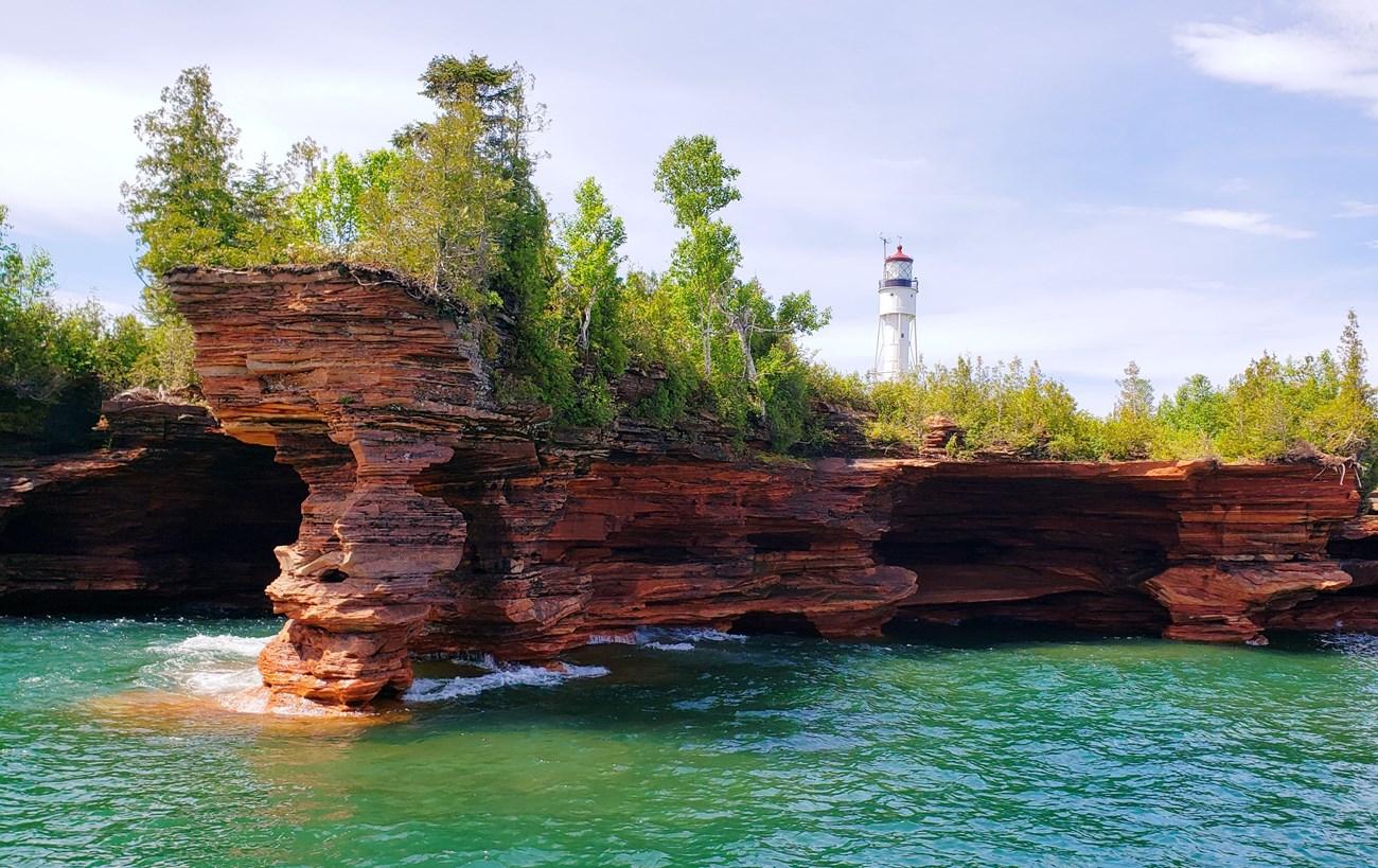 Apostle Islands National Lakeshore
 in Wisconsin offers Lake Superior sea caves, historic lighthouses, island camping, kayaking and winter ice formations.
-
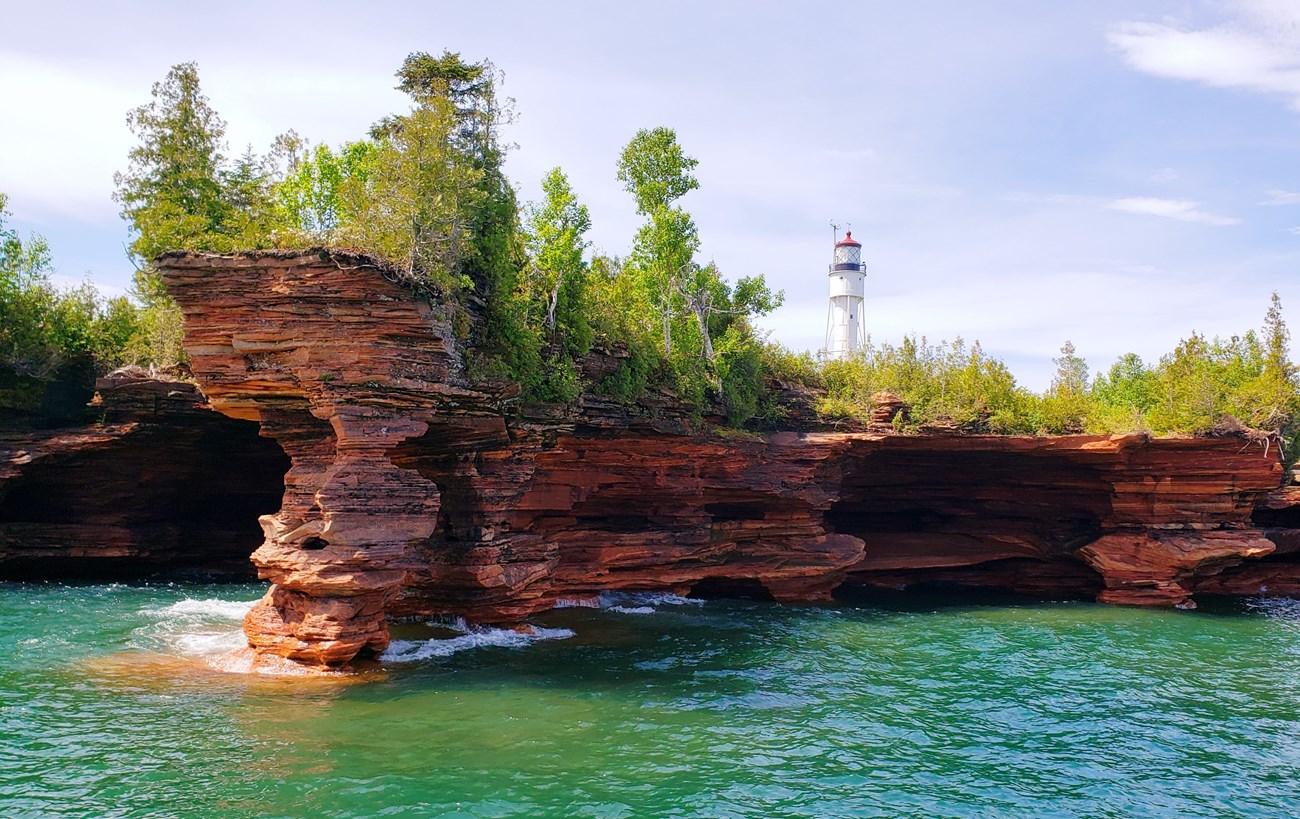 Apostle Islands
 in Wisconsin’s Lake Superior offer sea caves, lighthouses, kayaking, sailing, islands, wildlife and memorable coastal walks.
-

-
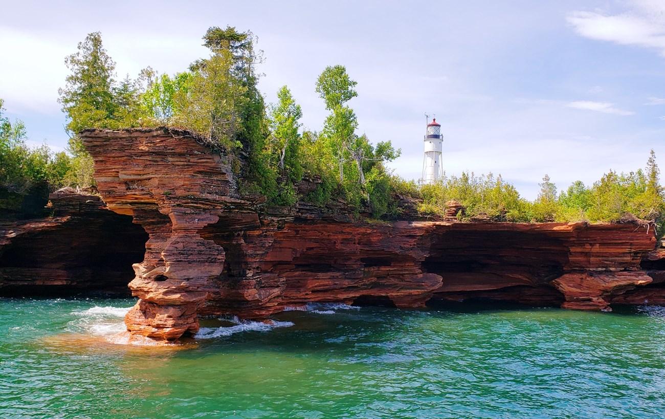 Bayfield
Explore Bayfield, Wisconsin: A scenic lakeside town offering outdoor adventures, historic charm, and a vibrant arts scene on the shores of Lake Superior.
-


Swipe for more destinations
Explore more
Explore more of Upper Peninsula
Explore Michigan's Upper Peninsula for Lake Superior cliffs, forest trails, historic mining towns, pasties, lighthouses and wide-open Great Lakes landscapes.
Explore Upper Peninsula
Explore more of Michigan
Explore Michigan's stunning Great Lakes, vibrant cities, and untouched natural beauty. Discover the state's rich cultural heritage and endless outdoor adventures.
Explore Michigan