

Free Coconino National Forest Travel Guide & Mobile App
Explore Coconino National Forest with free travel guides. Discover regional history, expert tips, proposed trips, and audio guides on web or mobile app.


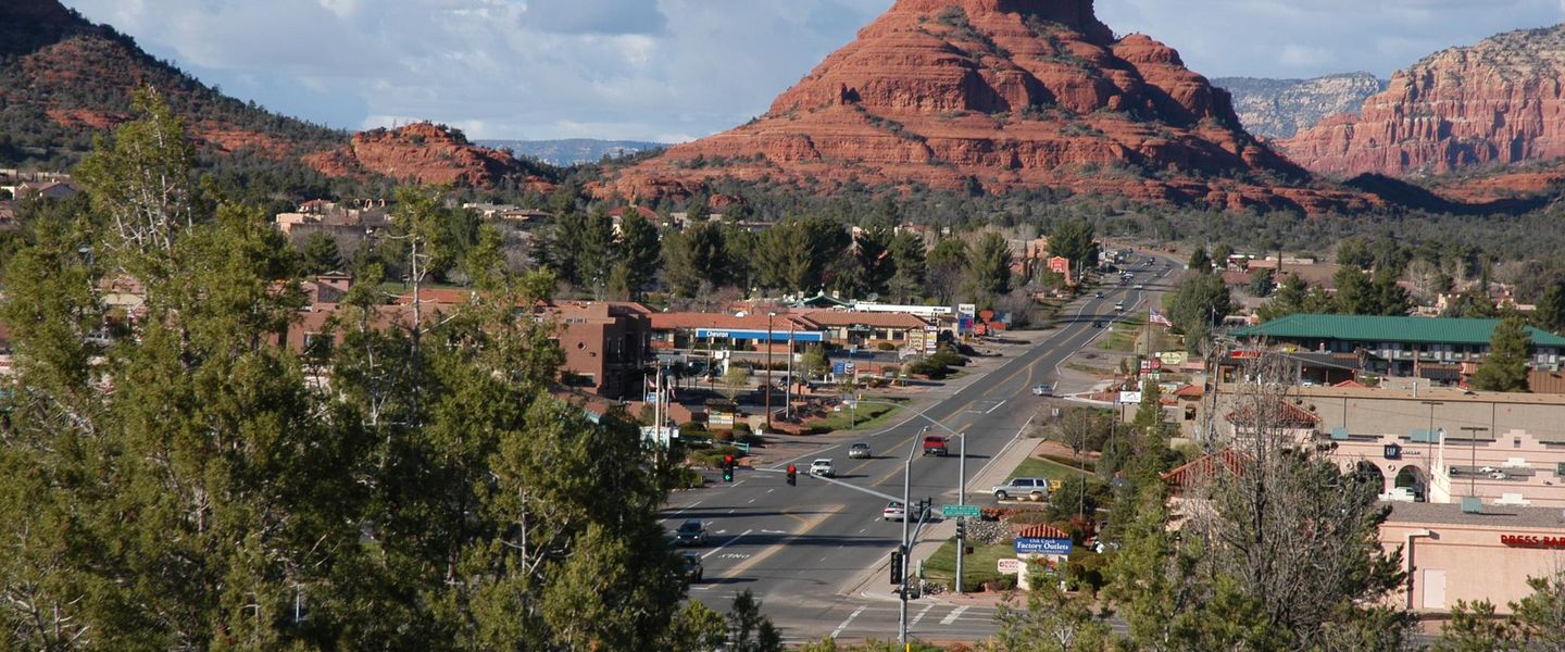


Explore Coconino National Forest for Arizona's high peaks, volcanic caves, pine woods, red-rock canyons and wide Mogollon Rim views.
Read more about Coconino National Forest
When is the best time to visit Coconino National Forest?
Best: May–June, September · 23–28°C| Month | High (°C) | Rainfall (mm) |
|---|---|---|
| January | 9 | 51 |
| February | 11 | 47 |
| March | 14 | 49 |
| April | 19 | 28 |
| May (best) | 23 | 21 |
| June (best) | 28 | 13 |
| July | 31 | 61 |
| August | 30 | 62 |
| September (best) | 27 | 45 |
| October | 21 | 36 |
| November | 13 | 37 |
| December | 9 | 52 |
Getting to and around Coconino National Forest
How to get there
Transportation
Top city travel guides in Coconino National Forest
The cities of Coconino National Forest, and the easiest places to base yourself.
-

-

-


Swipe for more cities
Destinations in Coconino National Forest
Resorts, valleys and scenic spots worth a trip of their own.
-

-


Swipe for more destinations
Best attractions in Coconino National Forest
Coconino National Forest offers a broad spread of outdoor attractions rather than a single refined park circuit. Around Flagstaff, visitors can explore ponderosa-pine forests, the San Francisco Peaks, the Kachina Peaks Wilderness and volcanic features such as Lava River Cave, where access and equipment requirements should be checked in advance. Southwards, Oak Creek Canyon combines shaded creekside walking with steep forested walls and access towards the red-rock country around Sedona. The Red Rock-Secret Mountain Wilderness provides demanding trails and striking geological scenery, while the Mogollon Rim brings long views, cooler pine forests, campgrounds and opportunities for fishing, cycling and wildlife observation. Coconino's open spaces also support climbing, horseback riding, photography, snow sports at the high-country ski area and dark-sky appreciation. Some famous nearby destinations, including Walnut Canyon National Monument, Sunset Crater Volcano National Monument and Grand Canyon National Park, are outside the national forest and should be planned as separate visits.
-
 State park
Slide Rock State Park
Experience the thrill of nature at Slide Rock State Park, Arizona's premier destination for outdoor fun and stunning scenery.
-
Walnut Canyon National Monument
Explore the captivating beauty and rich history of Walnut Canyon National Monument in Arizona, a perfect blend of nature and ancient culture.
-
Oak Creek Vista
Experience breathtaking views of Oak Creek Canyon, shop Native American crafts, and explore the gateway to Sedona's red rock country.
-
Flagstaff Extreme Adventure Course
Experience unparalleled outdoor adventure at Flagstaff Extreme Adventure Course, nestled in the scenic Fort Tuthill County Park, Arizona.


Best landmarks in Coconino National Forest
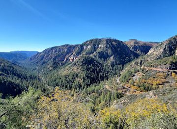
The San Francisco Peaks form Coconino's most commanding natural landmark, rising above the Flagstaff basin and culminating in Humphreys Peak, Arizona's highest point, within the Kachina Peaks Wilderness. In the southern sector, Oak Creek Canyon is a defining geological corridor, its wooded gorge contrasting sharply with the red sandstone formations around Sedona. The Red Rock-Secret Mountain Wilderness preserves many of those recognisable cliffs, fins and buttes, while the Mogollon Rim creates a vast, abrupt edge between the forested plateau and lower country to the south. Lava River Cave is a particularly distinctive geological feature: a naturally formed basalt tube created by ancient lava flow. The forest's landmark character also lies in its long horizons, volcanic cones, ponderosa-pine stands and high-elevation meadows, which together distinguish northern Arizona's uplands from the desert landscapes farther south.
-
National reserve
Montezuma Castle National Monument
Explore the ancient cliff dwellings of the Sinagua people at Montezuma Castle National Monument, a window into Arizona's prehistoric past.
-
Park
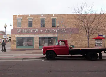
Standin' on The Corner Foundation
A tribute to the Eagles' "Take It Easy" on Route 66, Standin' on the Corner Park is a must-see for music lovers and road trippers in Winslow, Arizona.
-
State park
Slide Rock State Park
Experience natural water slides and scenic beauty at this historic apple farm in Oak Creek Canyon, just north of Sedona, Arizona.
-
Vista point
Oak Creek Vista
Experience Arizona's breathtaking beauty at Oak Creek Vista: panoramic views, Native American crafts, and a gateway to outdoor adventures.


Explore Coconino National Forest on the map
Plan your trip on one map. See where the top cities, national parks and sights are, and book hotels and experiences in a few clicks.
Best hotels in Coconino National Forest
Best restaurants in Coconino National Forest
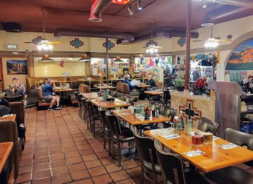
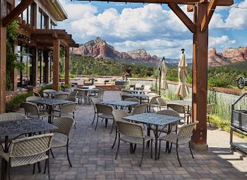
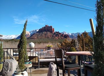
Dining is concentrated in Flagstaff and Sedona, which serve as gateways rather than forming part of the forest itself. Restaurants, cafés, breweries and casual food outlets in these towns cater to hikers, climbers, skiers and road travellers, while smaller communities and highway stops offer a more limited choice. The culinary identity is broadly northern Arizonan and American West rather than a narrowly defined forest cuisine, with Southwestern flavours, Mexican-influenced food, burgers, wood-fired dishes, craft beer and coffee culture commonly represented. Local and regional produce appears seasonally, and farmers' markets in the gateway towns can be useful for picnic supplies when operating. In the forest, visitors should plan self-catering carefully: developed campgrounds and remote trailheads may have no shops or restaurants nearby, and water, food and waste arrangements require advance thought.
-
Italian
Fat Olives
Discover the taste of Italy in Flagstaff with unique dishes at Fat Olives – where culinary excellence meets warm hospitality.
-
Breakfast
Coffee Pot Restaurant
Experience delicious breakfasts at Coffee Pot Restaurant in Sedona—where great food meets stunning views.
-
Latin American
Mariposa Latin Inspired Grill
Discover exquisite Latin American cuisine at Mariposa Latin Inspired Grill in Sedona, where every dish is a celebration of flavor against stunning red rock vistas.
-
Italian
Hideaway House
Experience authentic Italian cuisine amidst Sedona's stunning landscapes at Hideaway House - where culinary dreams come true.

Best bars in Coconino National Forest
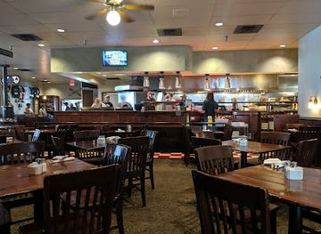
Evening life connected with Coconino National Forest is centred in Flagstaff and Sedona, outside the forest boundary. Flagstaff has the broader selection, including traditional bars, breweries, restaurants with late-evening service and venues associated with its university and live-music scene. Sedona offers wine bars, cocktail-led venues, hotel lounges and restaurants, with evenings generally quieter and more dining-oriented than those of a large city. Around the forest itself, nightlife usually means a campfire where permitted, stargazing, an early night before a trail day or socialising at a campground rather than clubs. Seasonal conditions, fire restrictions and site rules matter, and visitors should never use alcohol as a substitute for preparation in remote terrain or drive after drinking.
-
Brewpub
Beaver Street Brewery
Discover Flagstaff's vibrant craft beer scene at Beaver Street Brewery, where delicious brews meet hearty American cuisine for an unforgettable experience.
-
Open Range Grill and Tavern
Experience the best of American cuisine at Open Range Grill and Tavern in Sedona, where flavors meet stunning views of the red rocks.
-
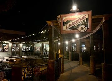
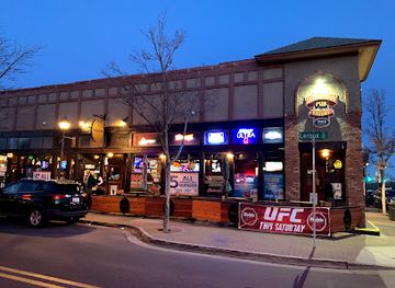
Lumberyard Brewing Co
Experience the best of Flagstaff with craft beers and American cuisine at Lumberyard Brewing Co, a local favorite for food lovers and beer enthusiasts.
-
Grill
Collins Irish Pub
Discover Collins Irish Pub in Flagstaff, AZ: A delightful blend of Irish charm and American cuisine, perfect for foodies and nightlife lovers alike.

Best nightclubs in Coconino National Forest
Evening life connected with Coconino National Forest is centred in Flagstaff and Sedona, outside the forest boundary. Flagstaff has the broader selection, including traditional bars, breweries, restaurants with late-evening service and venues associated with its university and live-music scene. Sedona offers wine bars, cocktail-led venues, hotel lounges and restaurants, with evenings generally quieter and more dining-oriented than those of a large city. Around the forest itself, nightlife usually means a campfire where permitted, stargazing, an early night before a trail day or socialising at a campground rather than clubs. Seasonal conditions, fire restrictions and site rules matter, and visitors should never use alcohol as a substitute for preparation in remote terrain or drive after drinking.
-
Bar
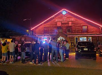
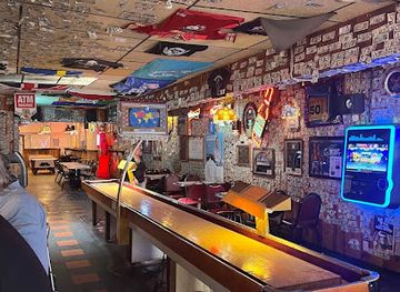
The Museum Club
Discover Flagstaff's vibrant nightlife at The Museum Club, where live music, great drinks, and a unique atmosphere await you.
-
Cocktail bar
Canyon Club
Discover the Canyon Club in Williams, Arizona – a lively cocktail bar and karaoke haven perfect for your night out.
-
Lounge
DoubleTree Lounge
Experience comfort and charm at DoubleTree Lounge, Flagstaff's perfect spot for cocktails and relaxation in a cozy atmosphere.
-
Night club
Halloween at Hotel Monte Vista
Experience the thrilling Halloween celebrations at Hotel Monte Vista, where history and haunting fun collide in Flagstaff, Arizona.


Best shops in Coconino National Forest
Shopping takes place mainly in the gateway communities of Flagstaff and Sedona rather than inside the national forest. Flagstaff's historic central area has independent bookshops, outdoor retailers, galleries, cafés and stores selling practical equipment for hiking, camping and winter activities. Sedona is known for galleries, jewellery, crafts, art objects and Southwestern-style gifts, though visitors should distinguish mass-produced souvenirs from work with clear artist or community provenance. Farmers' markets and local food shops, where available, can provide regional produce, baked goods and picnic provisions. Forest campgrounds have little or no retail infrastructure, so fuel, groceries, maps, water and specialist equipment should be obtained before heading into remote districts. When buying Indigenous art or jewellery, look for transparent information about the artist and origin rather than assuming that every Southwestern-themed item is Native-made.
-
Shopping mall
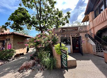
Tlaquepaque Arts & Shopping Village
Explore Tlaquepaque Arts & Shopping Village, where art, culture, and culinary experiences unite in the heart of Sedona, Arizona.
-
Shopping mall
Flagstaff Mall
Explore Flagstaff Mall: Your shopping haven in Arizona, featuring diverse stores, delicious dining, and a vibrant atmosphere for all ages.
-
Shopping mall
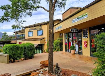
Hillside Sedona Shopping Center
Explore shopping, dining, and artistry at Hillside Sedona Shopping Center, where breathtaking views meet unique local treasures.
-
Shopping mall
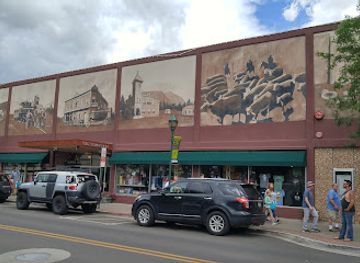
Old Town Shops
Discover unique boutiques, local eateries, and vibrant culture at Flagstaff's Old Town Shops, a shopping experience like no other.

Get your free copy of our complete guide to Coconino National Forest, delivered straight to you.
Everything on this page, from attractions and restaurants to essentials and local phrases, in one PDF you can read offline, print or share.
Already have an account? Sign in
Your Coconino National Forest guide is ready.
We'll send it to · Not you? Sign out

Getting your guide ready…
We are putting together a fresh copy of the Coconino National Forest guide. This can take up to a minute.
This can take a few moments. If your browser asks, choose Allow so the download can start. You'll find the guide in your Downloads folder.
Nothing happened? Download it again
Sorry, the guide is taking longer than usual. Please try again in a minute, or get it by email instead.
Coconino National Forest essentials
Currency and Payment
Safety
Emergency Situations
Do's and Don'ts
Local Tips
From Eve
Local phrases worth knowing
You don't need to get them perfect. A few words go a long way, and locals appreciate the effort.
Basics
| English | Local | Say it |
|---|---|---|
| Hello | Howdy | [hau-dee] |
| Goodbye | See ya | [see yah] |
| Yes | Yep | [yehp] |
| No | Nah | [nah] |
| Please/You're welcome | Sure thing | [shur thing] |
| Thank you | Thanks a lot | [thangs a lot] |
| Excuse me/Sorry | Pardon me | [par-dun mee] |
| How are you? | How's it going? | [how's it go-ing?] |
| Fine. And you? | Good. You? | [good. you?] |
| Do you speak English? | Do ya talk English? | [do yah talk ing-glish?] |
| I don't understand | I don't get it | [I don't get it] |
Eating & Drinking
| English | Local | Say it |
|---|---|---|
| I'd like to see the menu, please | Can I see the menu? | [can I see the men-yoo?] |
| I don't eat meat | I don't do meat | [I don't do meat] |
| Cheers! | Bottoms up! | [bot-toms up!] |
| I would like to pay, please | Can I get the check? | [can I get the chek?] |
Emergencies
| English | Local | Say it |
|---|---|---|
| Help! | Help! | [help] |
| Go away! | Leave me alone! | [leave me a-lone!] |
| Call the Police! | Call the cops! | [call the cops] |
| Call a doctor! | Get a doctor! | [get a doc-tor] |
| I'm lost | I'm turned around | [I'm turned a-round] |
| I'm ill | I'm not feeling well | [I'm not feel-ing well] |
Shopping
| English | Local | Say it |
|---|---|---|
| I'd like to buy... | I want to buy... | [I want to buy...] |
| I'm just looking | Just browsing | [just brow-sing] |
| How much is it? | What's the price? | [what's the price?] |
| That's too expensive | That costs too much | [that costs too much] |
| Can you lower the price? | Can you drop the price? | [can you drop the price?] |
Time & Numbers
| English | Local | Say it |
|---|---|---|
| What time is it? | What's the time? | [what's the time?] |
| It's one o'clock | It's one | [it's one] |
| Half past (10) | Half past ten | [half past ten] |
| Morning | Morning | [morning] |
| Afternoon | Afternoon | [af-ter-noon] |
| Evening | Evening | [e-ven-ing] |
| Yesterday | Yesterday | [yes-ter-day] |
| Today | Today | [to-day] |
| Tomorrow | Tomorrow | [to-mor-row] |
| 1 | One | [one] |
| 2 | Two | [two] |
| 3 | Three | [three] |
| 4 | Four | [four] |
| 5 | Five | [five] |
| 6 | Six | [six] |
| 7 | Seven | [seven] |
| 8 | Eight | [eight] |
| 9 | Nine | [nine] |
| 10 | Ten | [ten] |
Transport & Directions
| English | Local | Say it |
|---|---|---|
| Where's a/the...? | Where's the...? | [where's the...?] |
| What's the address? | What's the address? | [what's the ad-dress?] |
| Can you show me (on the map)? | Can you point it out? | [can you point it out?] |
| When's the next (bus)? | When's the next bus? | [when's the next bus?] |
| A ticket (to ....) | A ticket to... | [a tik-it to...] |
History of Coconino National Forest
Indigenous Homelands and Sinagua Settlement
The forests, peaks and canyons of the region form part of the ancestral homelands of several Indigenous peoples, including the Hopi, Navajo, Havasupai, Hualapai and Yavapai. Sinagua communities farmed and lived across the Flagstaff volcanic highlands and surrounding canyon country between roughly the sixth and fourteenth centuries. Their archaeological legacy includes pueblos, field systems, pottery and trails, although many prominent preserved ruins near Flagstaff lie in places administered outside the national forest. Indigenous relationships with the land continue today, and visitors should treat archaeological remains and culturally significant landscapes with care.
Volcanic Landscapes and Early Exploration
Coconino's northern uplands were shaped by extensive volcanic activity, including the San Francisco volcanic field and numerous cinder cones and lava flows. Later transport routes and scientific expeditions brought non-Indigenous travellers through the high country, while trading, ranching and settlement developed around water sources and natural passes. The volcanic terrain remained a practical influence on movement and land use: lava fields could obstruct travel, while the high forests offered timber, grazing and cooler summer conditions compared with the deserts below.
Forest Reserve to National Forest
Federal forest protection expanded in northern Arizona during the late nineteenth and early twentieth centuries, as concerns grew over timber depletion, watershed damage and uncontrolled grazing. The modern Coconino National Forest took shape through the consolidation and reorganisation of earlier forest reserves, becoming part of the United States national-forest system in the early twentieth century. This history established the management framework still visible today, balancing timber, wildlife, watersheds, recreation, cultural resources and wildfire reduction across a large and varied landscape.
Railways, Flagstaff and Regional Access
The arrival of the Atlantic and Pacific Railroad in Flagstaff in the 1880s connected the high country with wider markets and encouraged the growth of a regional supply and transport centre. Flagstaff's position on the transcontinental route helped move timber, livestock and other goods, while later roads brought increasing access to forest recreation. The city remains one of Coconino National Forest's principal gateways, providing services, transport connections and interpretation for visitors heading into the surrounding mountains and woodlands.
Timber, Grazing and Forest Communities
Logging and livestock grazing became influential industries in the high country, supported by the extensive ponderosa-pine forests and open meadows. Forest management changed over time as authorities and communities responded to fire, drought, insect outbreaks and the ecological effects of past suppression policies. Historic logging remains part of the region's working landscape, but contemporary management increasingly combines carefully planned timber operations, prescribed fire, habitat protection and community wildfire resilience.
The Civilian Conservation Corps Era
During the 1930s, the Civilian Conservation Corps carried out work across many American national forests, including road building, erosion control, trail construction, fire infrastructure and recreation improvements in Arizona. Although much has since been altered or rebuilt, the programme helped establish the pattern of developed campgrounds, viewpoints and access routes familiar to visitors today. Its legacy also reflects an important shift in national forests from primarily production-oriented spaces towards landscapes managed for public recreation as well as conservation and resource use.
Recreation, Conservation and Wildfire Challenges
From the later twentieth century onwards, Coconino National Forest became increasingly important for hiking, climbing, camping, winter sports, wildlife watching and scenic travel. Sedona's red-rock country and Flagstaff's mountain setting brought especially strong visitor growth, while wilderness designations helped protect areas such as Kachina Peaks and Red Rock-Secret Mountain. Today the forest faces pressures shared by much of the American West, including drought, severe wildfire, crowding, water scarcity and habitat change, making responsible visitation and active land management central to its future.
Coconino National Forest in Photos
Browse through our photo collection highlighting the charm and character of the destination.
Neighbouring regions of Coconino National Forest
The closest regions to Coconino National Forest, if you have time for more than one.
-

-

-

-

-


Swipe for more regions
Explore more

Explore more of Arizona
Discover Arizona: From the majestic Grand Canyon and red rocks of Sedona to the vibrant cities of Phoenix and Scottsdale, explore the diverse beauty and culture of the Grand Canyon State.
Explore Arizona