

Free Ouachita Mountains Travel Guide & Mobile App
Explore Ouachita Mountains with free travel guides. Discover regional history, expert tips, proposed trips, and audio guides on web or mobile app.


Explore Arkansas’s Ouachita Mountains for thermal springs, folded forest ridges, clear lakes, hiking trails and historic Hot Springs.
Read more about Ouachita Mountains
When is the best time to visit Ouachita Mountains?
Best: April–May, October · 22–27°C| Month | High (°C) | Rainfall (mm) |
|---|---|---|
| January | 10 | 75 |
| February | 12 | 80 |
| March | 18 | 95 |
| April (best) | 22 | 100 |
| May (best) | 27 | 105 |
| June | 32 | 95 |
| July | 34 | 80 |
| August | 34 | 80 |
| September | 30 | 85 |
| October (best) | 24 | 90 |
| November | 16 | 90 |
| December | 11 | 85 |
Getting to and around Ouachita Mountains
How to get there
Transportation
Top city travel guides in Ouachita Mountains
The cities of Ouachita Mountains, and the easiest places to base yourself.
-
 Hot Springs
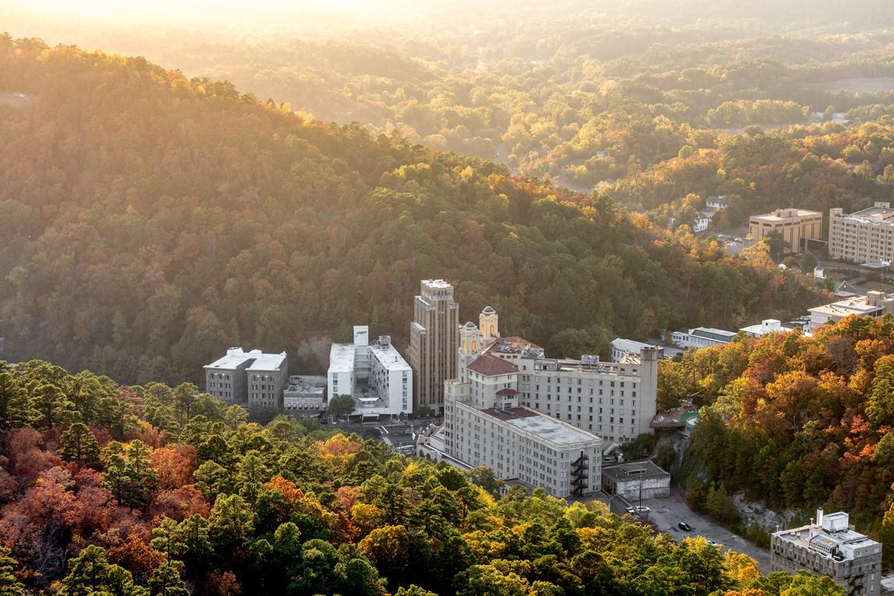
, Arkansas blends thermal waters, Bathhouse Row, mountain scenery, historic architecture, arts, racing and lively Southern cuisine and arts.
-

-

-

-

-


Swipe for more cities
Destinations in Ouachita Mountains
Resorts, valleys and scenic spots worth a trip of their own.
-

-
 Hot Springs National Park
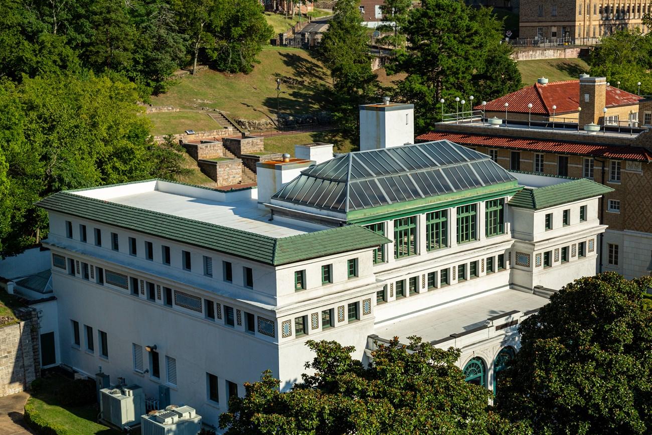
 in Arkansas pairs historic Bathhouse Row with thermal waters, forested Ouachita trails, scenic drives and American spa heritage.
-

-

-

-


Swipe for more destinations
Best attractions in Ouachita Mountains
The Arkansas Ouachitas offer a varied outdoor and heritage landscape rather than a single concentrated attraction zone. Hot Springs National Park combines natural thermal springs, wooded mountain paths and the preserved bathhouses of Bathhouse Row, while the city’s surrounding slopes provide viewpoints and shorter walks. The Ouachita National Forest extends westward through ridges and valleys with camping, fishing, wildlife watching, cycling and hiking, including sections of the long Ouachita Trail. Lake Ouachita is known for forested coves and boating, while Lake Hamilton and Lake Catherine provide more developed waterfront recreation near Hot Springs. Around Mount Ida, quartz-crystal collecting and geology are central to the local visitor identity, with access depending on private-site rules. Mena serves as a base for western forest roads and the Arkansas section of the Talimena Scenic Drive, which continues over the state line into Oklahoma. Smaller communities, country roads, streams and historic sites add texture between the better-known destinations, but distances and limited rural services mean that attractions are best approached as separate clusters rather than as a compact circuit.
-
National park
Hot Springs National Park
Experience the 'American Spa' at Hot Springs National Park: thermal springs, historic bathhouses, scenic trails, and urban charm in central Arkansas.
-
National forest
Ouachita National Forest
Explore the Ouachita National Forest: Arkansas and Oklahoma's premier destination for outdoor recreation, scenic drives, and rich history.
-
State park
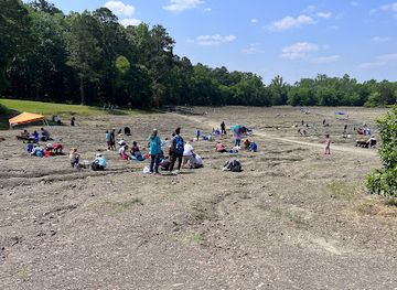
Crater of Diamonds State Park
Discover the thrill of gem hunting at Crater of Diamonds State Park in Arkansas, the only place where you can dig for real diamonds.
-
Tourist attraction
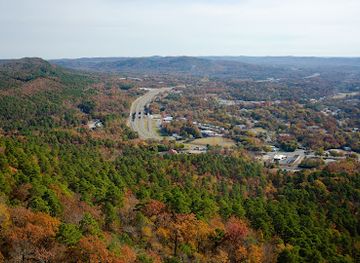
Hot Springs Mountain Tower
Reach new heights at Hot Springs Mountain Tower for unforgettable panoramic views of Hot Springs National Park and the Ouachita Mountains.
Best landmarks in Ouachita Mountains
Bathhouse Row in Hot Springs is the Ouachita region’s most recognisable architectural landmark. Its preserved nineteenth- and early twentieth-century bathhouses line Central Avenue and express the period when thermal tourism made the city nationally prominent; Fordyce Bathhouse, operated as a visitor centre and museum, is especially significant for understanding that history. Hot Springs Mountain Tower provides a prominent viewpoint over the surrounding ridges, although the mountain itself is as important a landscape feature as the structure. In the western range, Rich Mountain and the Talimena Scenic Drive form a notable highland corridor near Mena, with long views across the parallel forested ridges; the route continues into Oklahoma and should not be described as wholly within Arkansas. The Ouachita Trail is a linear landscape landmark rather than a single monument, crossing remote ridges and valleys through the national forest. Lake Ouachita’s wooded shoreline, reservoir arms and exposed rocky points are also defining geographical features, illustrating how twentieth-century water engineering became part of the modern mountain landscape.
-
National forest
Ouachita National Forest
Discover the enchanting landscapes and outdoor adventures of Ouachita National Forest in Arkansas, perfect for nature lovers and thrill-seekers alike.
-
Historical place
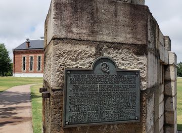
Fort Smith National Historic Site
Discover the profound history of the American frontier at Fort Smith National Historic Site, where stories of the past come to life.
-
State park
Lake Ouachita State Park
Discover tranquility and adventure at Lake Ouachita State Park, Arkansas' premier outdoor destination for nature lovers and adventure seekers alike.
-
Historical landmark
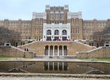
Little Rock Central High School National Historic Site
Discover the profound history of civil rights at the Little Rock Central High School National Historic Site, an iconic landmark of resilience and courage.


Explore Ouachita Mountains on the map
Plan your trip on one map. See where the top cities, national parks and sights are, and book hotels and experiences in a few clicks.
Best hotels in Ouachita Mountains
Best restaurants in Ouachita Mountains
Dining in the Ouachita Mountains reflects Arkansas’s broader Southern food traditions, adapted to a landscape of lakes, forests and small mountain towns. Hot Springs has the widest choice, from cafés and bakeries to independent restaurants, traditional diners and more contemporary kitchens. Barbecue, fried catfish, chicken, biscuits, seasonal vegetables and pies appear regularly across the region, while lake communities provide casual options suited to boaters and families. Rural restaurants and cafés often centre on generous breakfasts, sandwiches and home-style plates rather than elaborate menus. Farmers’ markets and local produce stands, where operating seasonally, are useful places to find fruit, vegetables, preserves and baked goods. Mount Ida and Mena offer dining suited to travellers exploring the western forest, while Hot Springs also has a more developed evening food scene. Craft beer and other Arkansas drinks are available in larger towns, but visitors should not assume that every remote community offers late dining or extensive choice; planning meals and fuel stops is sensible when travelling deep into the forest.
-
Cafe
Mt Ida Cafe
Discover the heartwarming flavors of home-cooked meals at Mt Ida Cafe – your cozy retreat in Arkansas.
-
Hamburger
The Shack
Discover the flavors of Jessieville at The Shack - home of delicious hamburgers and fast food favorites.
-
Restaurant
Ouachita Bar & Grill
Discover the best barbecue in Hot Springs at Ouachita Bar & Grill - where flavor meets Southern hospitality.
-
Family-friendly
Brady Mountain Grill
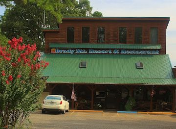
Discover family-friendly dining at Brady Mountain Grill in Royal, Arkansas - where delicious meals meet stunning natural beauty.


Best bars in Ouachita Mountains
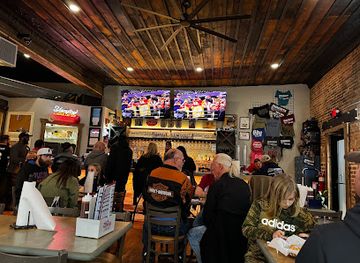
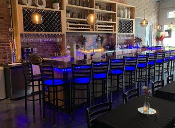
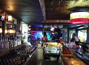
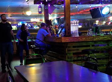
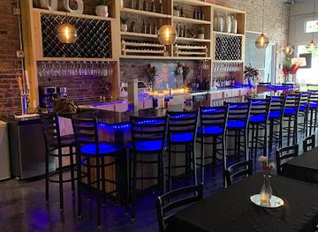
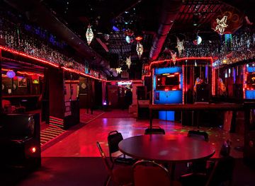
Evening life is concentrated in Hot Springs, where historic downtown streets support a mixture of pubs, cocktail-led bars, restaurants, live music and occasional entertainment in a setting shaped by Bathhouse Row and the city’s long resort history. Mena and Mount Ida have a smaller-scale scene centred on local bars, restaurants, cafés and community events rather than large clubs. Around Lake Hamilton and other developed waterfront areas, evening activity is often seasonal and linked to dining, accommodation and warm-weather recreation. In the rural Ouachita National Forest, nightlife largely means a quiet evening at a lodge, campsite or small-town establishment, with distances making improvised bar-hopping impractical. Visitors should check current arrangements locally, particularly outside Hot Springs, and remember that many businesses close earlier than their urban counterparts.
-
Restaurant
Ouachita Bar & Grill
Discover the heart of Hot Springs dining at Ouachita Bar & Grill, where barbecue dreams come true amidst a friendly atmosphere.
-
Wine bar
Splash Wine Bar
Discover the charm of Splash Wine Bar in Hot Springs, where fine wines meet a vibrant social scene, perfect for relaxation and celebration.
-
Family-friendly
Brady Mountain Grill
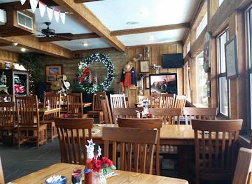
Experience family-friendly dining at Brady Mountain Grill in Royal, Arkansas, where delicious meals and a warm atmosphere await every visitor.
-
American
Lodge Restaurant
Savor delicious American cuisine surrounded by the breathtaking beauty of Arkansas at Lodge Restaurant.
Best nightclubs in Ouachita Mountains
Evening life is concentrated in Hot Springs, where historic downtown streets support a mixture of pubs, cocktail-led bars, restaurants, live music and occasional entertainment in a setting shaped by Bathhouse Row and the city’s long resort history. Mena and Mount Ida have a smaller-scale scene centred on local bars, restaurants, cafés and community events rather than large clubs. Around Lake Hamilton and other developed waterfront areas, evening activity is often seasonal and linked to dining, accommodation and warm-weather recreation. In the rural Ouachita National Forest, nightlife largely means a quiet evening at a lodge, campsite or small-town establishment, with distances making improvised bar-hopping impractical. Visitors should check current arrangements locally, particularly outside Hot Springs, and remember that many businesses close earlier than their urban counterparts.
-
Bar
The Big Chill
Experience the vibrant atmosphere of The Big Chill in Hot Springs, where great food, live music, and unforgettable nightlife await.
-
Bar
Boogies Bar & Grill
Discover the lively Boogies Bar & Grill in Hot Springs, where delicious food, karaoke, and live music create an unforgettable nightlife experience.
-
Wine bar
Splash Wine Bar
Discover the vibrant atmosphere of Splash Wine Bar in Hot Springs, Arkansas, where exquisite wines and social camaraderie come together.
-
Bar
Starlite Club
Experience the vibrant nightlife at Starlite Club in Hot Springs, Arkansas, where friendly service meets an inviting atmosphere for an unforgettable evening.
Best shops in Ouachita Mountains
Shopping in the Ouachitas is strongest in Hot Springs, where the historic downtown and surrounding commercial streets offer independent galleries, craft outlets, books, gifts, antiques and locally themed products. Bathhouse Row and nearby heritage areas are natural places to look for items connected with the city’s thermal-water history, although retail offerings change over time. Mount Ida is associated with Arkansas quartz crystals, and specialist shops and collecting experiences provide a more regionally distinctive purchase than generic souvenirs; buyers should ask about provenance, collecting rules and responsible sourcing. Mena provides practical shopping and a selection of independent businesses for visitors exploring the western mountains. Seasonal farmers’ markets and roadside stands may offer preserves, baked goods and produce, while craft shops can feature woodwork, pottery, jewellery and other work from Arkansas makers. Rural shopping is dispersed and opening patterns vary, so do not rely on finding a substantial retail centre after entering the forest.
-
Rock shop
Real Earth Creations
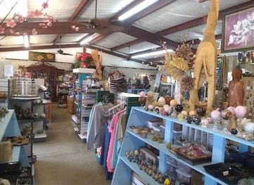
Discover unique natural treasures and handcrafted jewelry at Real Earth Creations in Mt. Ida, Arkansas, a perfect stop for gift shopping and exploration.
-
Sporting goods store
Ouachita Outdoor Outfitters
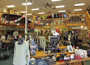
Explore the great outdoors with top-quality gear from Ouachita Outdoor Outfitters in Hot Springs, Arkansas, your adventure starts here.
-
Candle store
Ouachita Wax and Naturals
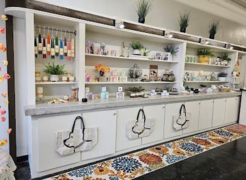
Explore the enchanting scents of handcrafted candles at Ouachita Wax and Naturals in Hot Springs, Arkansas.
-
Grocery store
T & S Blees Grocery
Experience the local flavors at T & S Blees Grocery in Mountain Pine, Arkansas - a charming grocery store filled with regional delights.

Get your free copy of our complete guide to Ouachita Mountains, delivered straight to you.
Everything on this page, from attractions and restaurants to essentials and local phrases, in one PDF you can read offline, print or share.
Already have an account? Sign in
Your Ouachita Mountains guide is ready.
We'll send it to · Not you? Sign out

Getting your guide ready…
We are putting together a fresh copy of the Ouachita Mountains guide. This can take up to a minute.
This can take a few moments. If your browser asks, choose Allow so the download can start. You'll find the guide in your Downloads folder.
Nothing happened? Download it again
Sorry, the guide is taking longer than usual. Please try again in a minute, or get it by email instead.
Ouachita Mountains essentials
Currency and Payment
Safety
Emergency Situations
Do's and Don'ts
Local Tips
From Eve
Local phrases worth knowing
You don't need to get them perfect. A few words go a long way, and locals appreciate the effort.
Basics
| English | Local | Say it |
|---|---|---|
| Hello | Howdy | [Ha-dee] |
| Goodbye | See ya | [Si ya] |
| Yes | Yep | [Yep] |
| No | Nah | [Nah] |
| Please/You're welcome | Please | [Pliz] |
| Thank you | Thanks a lot | [Thangs a lot] |
| Excuse me/Sorry | Sorry 'bout that | [Sorry 'bout that] |
| How are you? | How ya doin'? | [How ya doin'?] |
| Fine. And you? | I’m good. How 'bout you? | [I’m good. How 'bout ya?] |
| Do you speak English? | Ya speakin' English? | [Ya speakin' English?] |
| I don't understand | I ain't got it | [I ain't got it] |
Eating & Drinking
| English | Local | Say it |
|---|---|---|
| I'd like to see the menu, please | Can I see the menu, please? | [Can I see the menu, pliz?] |
| I don't eat meat | I ain't eatin' meat | [I ain't eatin' meat] |
| Cheers! | Cheers! | [Cheers!] |
| I would like to pay, please | I wanna pay, please | [I wanna pay, pliz] |
Emergencies
| English | Local | Say it |
|---|---|---|
| Help! | Help! | [Help!] |
| Go away! | Get lost! | [Get lost!] |
| Call the Police! | Call the cops! | [Call the cops!] |
| Call a doctor! | Get a doctor! | [Get a doctor!] |
| I'm lost | I’m lost | [I’m lost] |
| I'm ill | I’m sick | [I’m sick] |
Shopping
| English | Local | Say it |
|---|---|---|
| I'd like to buy... | I wanna buy... | [I wanna buy...] |
| I'm just looking | Just lookin' | [Just lookin'] |
| How much is it? | What's it cost? | [What's it cost?] |
| That's too expensive | That's a bit high | [That's a bit high] |
| Can you lower the price? | Can ya bring it down? | [Can ya bring it down?] |
Time & Numbers
| English | Local | Say it |
|---|---|---|
| What time is it? | What time ya got? | [What time ya got?] |
| It's one o'clock | It's one o'clock | [It's one o'clock] |
| Half past (10) | Half past ten | [Half past ten] |
| Morning | Mornin' | [Mornin'] |
| Afternoon | Afternoon | [Afternoon] |
| Evening | Evenin' | [Evenin'] |
| Yesterday | Yesterday | [Yesterday] |
| Today | Today | [Today] |
| Tomorrow | Tomorrow | [Tomorrow] |
| 1 | One | [One] |
| 2 | Two | [Two] |
| 3 | Three | [Three] |
| 4 | Four | [Four] |
| 5 | Five | [Five] |
| 6 | Six | [Six] |
| 7 | Seven | [Seven] |
| 8 | Eight | [Eight] |
| 9 | Nine | [Nine] |
| 10 | Ten | [Ten] |
Transport & Directions
| English | Local | Say it |
|---|---|---|
| Where's a/the...? | Where's the...? | [Where's the...?] |
| What's the address? | What's the address? | [What's the address?] |
| Can you show me (on the map)? | Can ya show me on the map? | [Can ya show me on the map?] |
| When's the next (bus)? | When's the next bus? | [When's the next bus?] |
| A ticket (to ....) | A ticket to... | [A ticket to...] |
History of Ouachita Mountains
Indigenous Use of the Springs and Mountains
The Ouachita Mountains were used and traversed by Indigenous peoples for thousands of years. The thermal springs at present-day Hot Springs were known to Native communities long before European settlement, and the surrounding valleys supported travel, hunting and exchange. Caddo, Quapaw and Osage histories are particularly relevant to the wider Arkansas region, although Indigenous affiliations and movement were not confined to modern state or county boundaries. Archaeological evidence, place names and continuing tribal connections provide an essential context for understanding the mountains beyond later American development.
European Exploration and the Arkansas Interior
Spanish expeditions entered the Arkansas interior in the sixteenth century, including the journey associated with Hernando de Soto in 1541. European maps and later French and American exploration gradually incorporated the Ouachita country into wider imperial and commercial networks. The mountains remained difficult to cross, and their ridges and valleys shaped routes between the Arkansas River, the thermal springs and lands to the west. This period brought new pressures on Indigenous communities without erasing the region’s pre-existing patterns of use.
The United States Acquires Arkansas
The Louisiana Purchase of 1803 transferred the region to the United States, after which surveying, migration and military administration altered the political landscape. Arkansas Territory was created in 1819 and became a state in 1836. Roads and settlements expanded slowly through the Ouachitas, often following valleys and river corridors. The mountains’ timber, mineral resources and therapeutic springs attracted growing interest, while Indigenous dispossession and the forced movement of Native peoples formed a painful part of the broader history of American settlement.
Hot Springs Federal Reservation, 1832–1921
In 1832, the United States set aside the Hot Springs area as a federal reservation, an early example of federal protection for a natural resource. Bathhouses, hotels and related businesses developed around the springs during the nineteenth century, turning Hot Springs into a nationally known health resort. The surviving bathhouses on Bathhouse Row reflect this era’s architecture and social culture. In 1921, the reservation became Hot Springs National Park, preserving the springs, thermal landscape and historic urban core together.
Railways, Timber and Mountain Towns
Nineteenth- and early twentieth-century rail construction opened the Ouachitas to larger-scale commerce and settlement. Mena developed as a railway town in the western Arkansas mountains, while logging expanded into the forested ridges and valleys. Timber supplied regional markets and stimulated sawmills, workers’ communities and transport links, but intensive harvesting also transformed the landscape. Some mountain towns later diversified into tourism, recreation and services as rail and timber declined in importance.
Minerals, Quartz and Novaculite
The Ouachitas have long been associated with distinctive geological resources. Novaculite, a hard silica-rich stone, was quarried and used historically for sharpening tools, while quartz crystals became an important part of the mineral identity of the Mount Ida area. Mining and quarrying never replaced timber and tourism as the region’s dominant economic foundations, but they shaped local enterprise and continue to influence museums, collecting, crafts and visitor interest. Mineral sites remain subject to access rules and private ownership.
Forest Conservation and Outdoor Recreation
The creation of the Ouachita National Forest in 1907 established a major federal conservation and land-management presence across western Arkansas and eastern Oklahoma. Twentieth-century forestry, road building and public recreation gradually reshaped how visitors experienced the mountains. Lakes such as Ouachita, Hamilton and Catherine added boating and fishing to the region’s established appeal, while trails and scenic drives broadened access. Today, conservation, timber production, private landholding and recreation coexist across a landscape that is protected in some places and actively managed in others.
Ouachita Mountains in Photos
Browse through our photo collection highlighting the charm and character of the destination.
Neighbouring regions of Ouachita Mountains
The closest regions to Ouachita Mountains, if you have time for more than one.
-

-
-

-

-


Swipe for more regions
Explore more

Explore more of Arkansas
Explore Arkansas: The Natural State with its stunning landscapes, rich history, and vibrant cultural experiences. Perfect for adventurers and culture seekers alike.
Explore Arkansas