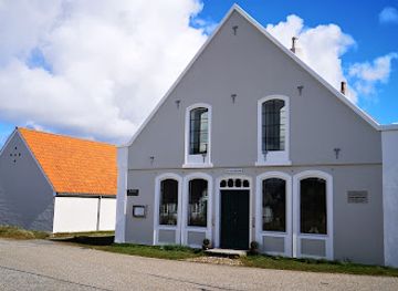
Fanø Free Folk Festival
Fanø Free Folk Festival

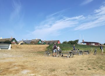
A quiet dune top on Fanø where 19th‑century surveyors fixed their instruments, this modest trigonometrical station now offers big skies, wind, and quiet reflection.
Tucked into the quiet dunes near Ved Bavnen on Fanø, the former trigonometrical station is a small but evocative reminder of Denmark’s age of surveying and coastal navigation. Here, a modest stone marker and low rise in the landscape recall the 19th‑century work of charting the Wadden Sea and securing safe passage for ships along this exposed coastline. Today it is a peaceful stopping point for walkers, offering open sky, a sense of history and wide, windswept views over the island’s sandy interior.
Opening times, essentials, and a few local tips gathered into one calmer, easier-to-scan planning section.
Ferry and bicycle
From Esbjerg, take the pedestrian and vehicle ferry to Nordby on Fanø, a crossing of around 12 minutes with frequent daily departures. A standard adult return ticket typically costs about 60–80 DKK, with extra fees for cars and bicycles. From Nordby, cycling to the Ved Bavnen area takes roughly 20–30 minutes on mostly paved and gravel roads with gentle inclines. This option is suitable for most riders, but expect strong headwinds at times and limited shelter near the trigonometrical station.
Ferry and local bus
After arriving by ferry from Esbjerg to Nordby, use the island’s local bus services that connect Nordby with other parts of Fanø. Typical journeys within the island take 15–30 minutes, and a single ticket usually costs in the range of 20–30 DKK depending on distance. Services can be less frequent outside peak season and in the evenings, so checking the timetable in advance is important. From the nearest bus stop, expect a short walk on sandy, slightly uneven ground to reach the trigonometrical station.
Car via ferry
If you bring a car on the Esbjerg–Fanø ferry, the crossing remains around 12 minutes, but vehicle tickets increase the price substantially, often to several hundred DKK return depending on size and season. Driving from Nordby to the Ved Bavnen area takes around 10–15 minutes on paved island roads. Parking may be informal and limited near dune tracks, and the final approach usually involves a brief walk over sand and low vegetation, which may be challenging for those with reduced mobility.
Catch the right light and the right mood, whether you want a bright city moment or a more cinematic evening visit.


Use Tower Bridge as your starting point for nearby food, family ideas, nightlife, and more local discoveries.
A quick look at seasonal patterns and peak visiting hours.

Explore expert travel guides, compare and book tours, experiences, hotels, and more—all from the palm of your hand. Download now for seamless trip planning wherever your wanderlust takes you.
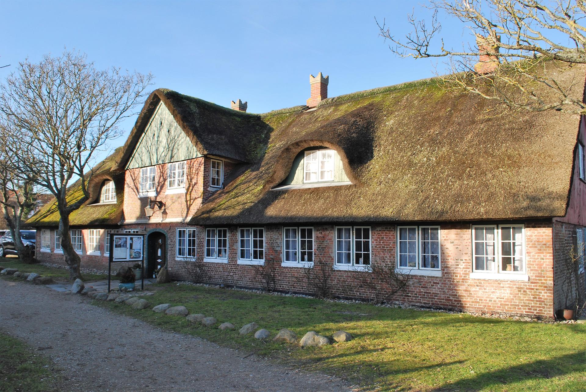
Discover Fanø, Denmark's hidden coastal gem, offering stunning beaches, charming villages, and rich wildlife, perfect for a tranquil getaway and nature adventures.
Tell me more about Fano