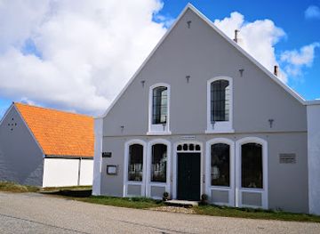
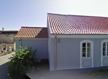
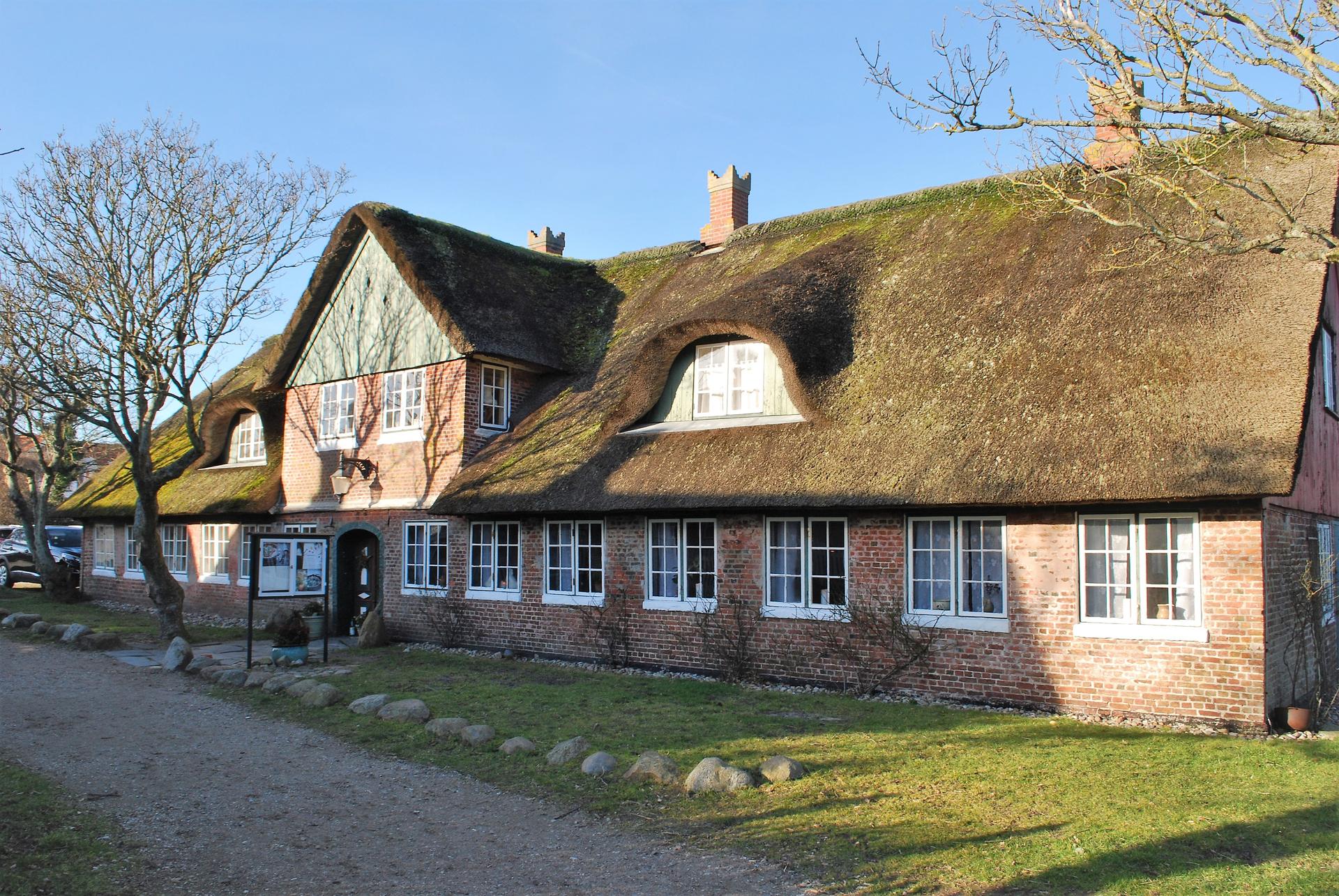
Stormflodssøjlen, Sønderho
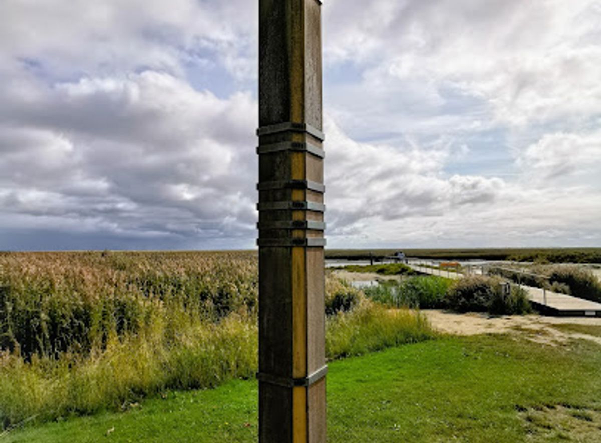
A slender harbor-side column that quietly records Sønderho’s greatest storm surges, turning Fanø’s gentle Wadden Sea horizon into a vivid story of water and wind.
Stormflodssøjlen in Sønderho is a slender storm surge pillar on the harbor that quietly tells the dramatic story of the Wadden Sea’s power. Marked with historic water levels from major storm floods, it stands beside the old, now silted harbor basin, framed by tidal flats and low dikes. This modest monument makes the forces of wind and sea tangible and links Sønderho’s pretty village scenery with a sobering reminder of life on Denmark’s exposed west coast.
A brief summary to Stormflodssøjlen, Sønderho
- Fanø kommun,6720, Fanø, 6720, DK
- Click to display
- Duration: 0.5 to 1 hours
- Free
-
Outdoor
- Mobile reception: 4 out of 5
- Monday 12 am-12 am
- Tuesday 12 am-12 am
- Wednesday 12 am-12 am
- Thursday 12 am-12 am
- Friday 12 am-12 am
- Saturday 12 am-12 am
- Sunday 12 am-12 am
Local tips
- Check the tidal timetable and visit around low tide for wide views over the exposed mudflats and a clearer sense of how far the sea can rise during storm surges.
- Bring a light windproof layer; even on mild days the open harbor area can feel noticeably cooler and breezier than the village streets.
- Combine a stop at the storm surge column with a walk through Sønderho’s historic lanes to connect the flood marks with the traditional houses they once threatened.
Do you manage this location?
Take control to get all the benefits, like improved information, better appearance, and stronger visibility across AI-powered discovery. Learn more
Activate your presenceOther nearby places you may find interesting
Getting There
-
Ferry and local drive from Esbjerg
From Esbjerg take the passenger and car ferry to Nordby on Fanø, a crossing that typically takes around 12 minutes and runs frequently throughout the day, with return tickets for cars and passengers usually totaling between 200 and 400 DKK depending on vehicle size and season. After disembarking in Nordby, drive south across the island on the main road to Sønderho; the journey is about 12–15 km and generally takes 15–20 minutes on paved, flat roads. Parking near Sønderho harbor is limited in peak summer and during high water, so allow extra time to find a legal spot.
-
Bus from Nordby to Sønderho
If you arrive as a foot passenger on the ferry, you can use the island bus service running between Nordby and Sønderho. Buses generally take 25–35 minutes for the trip, following the main north–south road across Fanø, and usually operate several times daily, with reduced frequency on weekends and outside the summer season. Expect a one-way ticket in the range of 25–50 DKK per person. From the bus stop in Sønderho village it is a short, level walk on surfaced paths to the harbor area and the storm surge column.
-
Cycling across Fanø
Cycling is a popular way to reach Sønderho from Nordby after taking the ferry as a foot passenger. The ride follows relatively flat island roads and cycle-friendly routes and typically takes 45–70 minutes, depending on wind conditions. Standard bike rental on Fanø often costs around 80–150 DKK per day. Be prepared for strong headwinds on exposed stretches and note that in stormy weather or heavy rain the trip can feel more demanding, though there are no steep hills along the route.
For the on-the-go comforts that matter to you
-
Seating Areas
-
Trash Bins
-
Information Boards
Stormflodssøjlen, Sønderho location weather suitability
-
Any Weather
-
Clear Skies
-
Windy Conditions
-
Mild Temperatures
-
Cold Weather
Discover more about Stormflodssøjlen, Sønderho
A quiet pillar on a dramatic coastline
Stormflodssøjlen in Sønderho stands at the harbor edge of Fanø’s southern village, a simple wooden or metal column set against the wide-open Wadden Sea. The surroundings are peaceful: grazing sheep on low dikes, salty air drifting in from the tidal flats, and the outline of historic cottages behind you. At first glance it might look like nothing more than a weathered post, but a closer look reveals a vertical chronicle of storms that have shaped this coastline. Sønderho’s harbor is no longer a busy sailing port, and much of the old basin has silted up, giving the area a calm, almost timeless feel. In this tranquil setting, the pillar acts as a visual interruption, pulling your eye to the sea and encouraging you to imagine it not as a gentle horizon, but as a force capable of climbing many meters above its usual level.Marks of historic storm surges
Along the shaft of the storm surge column, small plaques or carved lines indicate the dates and heights of notable floods that have struck Sønderho and the wider region. Years from the 19th and 20th centuries appear side by side, some labeled with precise measurements in meters above normal sea level. Local historical research highlights events such as the 1852 flood and later storm surges, including an 1881 water level of over three meters, which are recorded on the pillar as sober reference points. Each mark is a reminder that water has, at times, risen well above the level where you stand. Reading the dates in sequence, you sense how regularly extreme weather has returned to the Wadden Sea, shaping decisions about dike building, harbor protection, and village life. The column condenses decades of meteorological drama into a single, easily understood graphic.Life with an unpredictable Wadden Sea
Fanø’s communities have always lived in close contact with the shifting sands and tides of the Wadden Sea. In Sønderho, high water could flood low-lying fields, damage homes, and disrupt trade when the harbor was still a lifeline for ships. The storms also influenced where people built, how high they raised their floors, and how they reinforced dikes and embankments. Standing by the pillar, it is easy to picture nights when gale-force winds drove the sea into the estuary, and families watched the water creep closer to their houses. The marks on the column are therefore not just technical data; they are shorthand for stories of anxious hours, emergency repairs, and community resilience in the face of nature’s unpredictability.A lens onto Fanø’s maritime heritage
The storm surge column is part of a broader maritime landscape in Sønderho. Nearby lie traces of the old trading and fishing harbor that once connected this remote island village to ports across the North Sea. Historical maps and local archives show how shipowners, sailors, and craftsmen depended on reliable channels and safe anchorages, constantly threatened by storms and silting. By linking water levels to specific years, the pillar offers an entry point into that seafaring past. It invites you to imagine how a severe flood might have damaged piers, stranded vessels, or accelerated the decline of the harbor. The structure itself, likely erected in the late 20th century, is a contemporary monument to a much older relationship between people, ships, and sea.A contemplative stop in the Wadden Sea landscape
Today, Stormflodssøjlen is an open-access outdoor site, best experienced at calm low tide when the mudflats stretch out and birds feed along the water’s edge. The setting encourages unhurried reflection rather than spectacle: there are no large installations, just the column, the harbor edge, and the ever-changing sky. Visitors often pause here for a short while, combining the stop with a stroll through Sønderho’s narrow lanes and traditional houses. The pillar complements the protected Wadden Sea National Park around it, adding a human, historical layer to the natural scenery. It is an understated, yet thought-provoking marker that turns a pretty coastal viewpoint into a reflection on risk, memory, and adaptation.Reading the landscape with new eyes
After studying the storm surge marks, the surrounding features look different. The low dikes become visible as defenses, the flat marshes as areas once vulnerable to inundation, and the gentle tidal channels as potential pathways for surging water. The column helps decode these elements, making it easier to understand why the coastline appears as it does. In this way, Stormflodssøjlen functions as an outdoor classroom as much as a memorial. It adds depth to a walk along the harbor by making invisible stories visible, turning abstract concepts like storm statistics and water levels into something you can see, compare, and remember long after you leave Fanø.Explore the best of what Stormflodssøjlen, Sønderho has to offer
-
Best experiences near Stormflodssøjlen, Sønderho
-
Best hotels near Stormflodssøjlen, Sønderho
-
Best landmarks near Stormflodssøjlen, Sønderho
-
Best shops near Stormflodssøjlen, Sønderho
-
Best restaurants near Stormflodssøjlen, Sønderho
-
Best bars near Stormflodssøjlen, Sønderho
-
Best nightclubs near Stormflodssøjlen, Sønderho
Your all‑in‑one travel companion app
Explore expert travel guides, compare and book tours, experiences, hotels, and more—all from the palm of your hand. Download now for seamless trip planning wherever your wanderlust takes you.
More about Fano
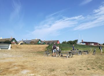
Discover Fanø, Denmark's hidden coastal gem, offering stunning beaches, charming villages, and rich wildlife, perfect for a tranquil getaway and nature adventures.
Tell me more about FanoA wind-swept rest stop at the start of the Mandø causeway, where big skies, shifting tides and the Wadden Sea’s open horizon define the experience.
Step into a perfectly preserved Fanø skipper’s widow’s cottage and experience everyday island life from the age when sailing ships shaped Sønderho’s world.