From Eve
Know before you go
Hi, I'm Eve. Here are a few practical things to know before exploring Højsande Holtemmen.
Local know-how to help you travel smarter and make the most of every moment.

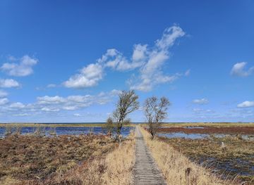
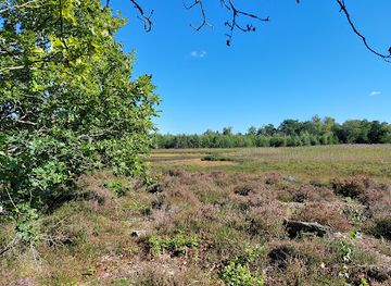
Protected dune landscape where 24-meter sand dunes, rare plants, and Stone Age cliffs reveal Læsø's wild and ancient character.
A protected 515-hectare nature reserve on Læsø's northern coast featuring dramatic sand dunes reaching 24 meters, rare botanical habitats, and a coastal lagoon. Højsande showcases windswept heathland with parabolic dune systems, while Holtemmen offers one of Denmark's richest plant communities along a Stone Age cliff. Marked walking trails wind through diverse ecosystems from white dunes to wetland mosaics, with views across the Kattegat.
Opening times, essentials, and a few local tips gathered into one calmer, easier-to-scan planning section.
Hi, I'm Eve. Here are a few practical things to know before exploring Højsande Holtemmen.
Local know-how to help you travel smarter and make the most of every moment.
Car from Læsø town center
Drive north from Læsø town center toward Storedalsvej and Holtemmenvej. The journey takes approximately 15–20 minutes depending on starting point. Parking areas are available at the end of Holtemmenvej (primary access for Holtemmen) and near Storedal for Højsande. Roads are paved but narrow; standard vehicles are suitable. No entrance fee required.
Bicycle from Læsø town center
Cycle north via forest roads and plantation paths toward the northern coast. Journey time is 20–30 minutes depending on route and fitness. The terrain includes both paved and unpaved forest roads; mountain bikes or hybrid bikes are recommended. The plantation offers numerous interconnected cycling routes with varying difficulty. No fee required.
Walking from nearby accommodations
If staying in northern Læsø, the reserve is accessible on foot via forest paths and marked routes. Walking time from the nearest settlements is 30–60 minutes depending on starting location and chosen route. Terrain is generally accessible but includes sandy and uneven sections; sturdy walking shoes are recommended. The marked blue route around Holtemmen (5 km) is well-maintained.
Guided tour or naturalist group visit
Local naturalist organizations and Naturstyrelsen (Danish Nature Agency) occasionally organize guided walks and educational visits to the reserve. These typically depart from Skovhytten (the Nature Agency's visitor center near Storedalsvej) or designated parking areas. Advance booking is recommended; contact Naturstyrelsen or local tourism offices for current schedules and pricing.
Catch the right light and the right mood, whether you want a bright city moment or a more cinematic evening visit.


Use Tower Bridge as your starting point for nearby food, family ideas, nightlife, and more local discoveries.
A quick look at seasonal patterns and peak visiting hours.

Explore expert travel guides, compare and book tours, experiences, hotels, and more—all from the palm of your hand. Download now for seamless trip planning wherever your wanderlust takes you.
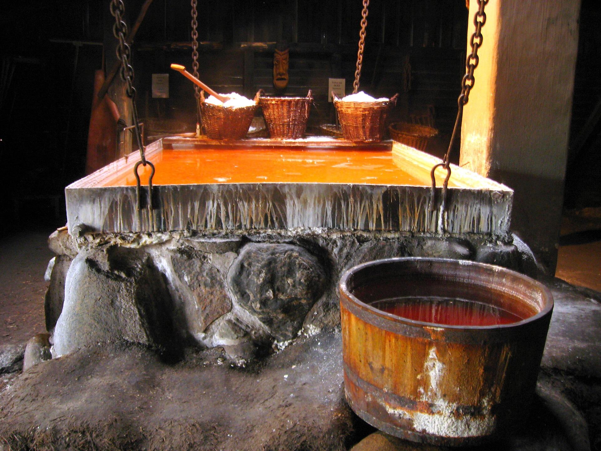
Læsø: Discover Denmark's serene island escape with its tranquil beaches, rich cultural heritage, unique saltworks, and delicious seafood cuisine.
Tell me more about Laso