

Daniel Boone National Forest Travel Guide - Free Web & App
Your ultimate guide to Daniel Boone National Forest. Discover top landmarks, proposed trips, and local tips. Free on the web or via the Evendo companion app.


Daniel Boone National Forest reveals Kentucky’s Red River Gorge, sandstone arches, deep forests, lakes, hiking trails, climbing and wild river landscapes.
Plateaus, Gorges and Forested Ridges
Daniel Boone National Forest stretches across more than 700,000 acres of eastern Kentucky, following the rugged eastern escarpment of the Cumberland Plateau from the Virginia border towards the Tennessee line. Rather than being one continuous wilderness, it is a broad collection of forested ridges, sandstone gorges, limestone valleys, reservoirs and rural communities. Its best-known landscape is the Red River Gorge Geological Area, where cliffs, natural arches, narrow ravines and woodland trails form one of the most distinctive outdoor environments in the eastern United States.Read more about Daniel Boone National Forest
Landscapes and Outdoor Character
Gateway Communities and Heritage
When is the best time to visit Daniel Boone National Forest?
Best: May, September–October · 20–26°C| Month | High (°C) | Rainfall (mm) |
|---|---|---|
| January | 8 | 91 |
| February | 9 | 86 |
| March | 16 | 107 |
| April | 20 | 102 |
| May (best) | 25 | 117 |
| June | 29 | 112 |
| July | 31 | 117 |
| August | 29 | 112 |
| September (best) | 26 | 102 |
| October (best) | 20 | 86 |
| November | 14 | 97 |
| December | 8 | 107 |
Getting to and around Daniel Boone National Forest
How to get there
Transportation
Best attractions in Daniel Boone National Forest
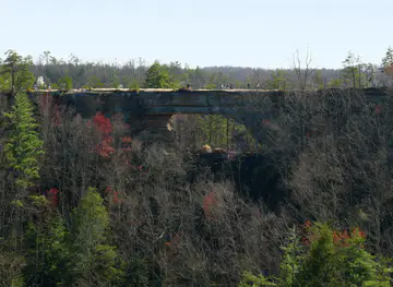
The Red River Gorge Geological Area is the forest’s best-known attraction, with sandstone cliffs, natural arches, wooded ravines and an extensive network of hiking and climbing routes. Nearby, Clifty Wilderness provides a more remote setting for experienced walkers, while the Sheltowee Trace links gorge country with other sections of the forest. Cave Run Lake offers boating, fishing, swimming at designated areas and shoreline recreation amid forested hills. In the southern districts, Laurel River Lake is valued for water-based activities and quiet coves, and the Rockcastle River corridor adds a more secluded river landscape. The Nada Tunnel, a former railway tunnel near the Red River Gorge, is an atmospheric approach to the gorge area. Gateway communities such as Slade, Stanton, Morehead, London and Somerset provide food, supplies and local information, while Natural Bridge State Resort Park and Cumberland Falls State Resort Park are nearby attractions outside the national forest itself.
-
Canoe & kayak tour agency
Gorge Underground
Experience the thrill of canoeing and kayaking at Gorge Underground, a stunning natural attraction in Kentucky's picturesque landscape.
-
State park
Blue Licks Battlefield State Resort Park
Explore the historical battlefield and enjoy outdoor adventures in the scenic Blue Licks Battlefield State Resort Park, Kentucky's natural gem.
-
Tourist attraction
Creation Falls
Discover the breathtaking beauty of Creation Falls in Campton, Kentucky, a perfect destination for hiking and scenic photography in nature.
-
Park
Flat Lick Falls Recreational Area
Experience the stunning beauty and tranquility of Flat Lick Falls Recreational Area in McKee, Kentucky, where nature and adventure await.


Explore Daniel Boone National Forest on the map
Plan your trip on one map. See where the top attractions, landmarks, restaurants and hotels are, and book hotels and experiences in a few clicks.
Best hotels in Daniel Boone National Forest
Best bars in Daniel Boone National Forest
Nightlife within Daniel Boone National Forest is quiet and community-based rather than organised around clubs. Traditional pubs, grills and casual bars in gateway settlements such as Slade, Stanton, Morehead, London and Somerset provide places for an evening meal, a local drink or conversation after a day outdoors. The Red River Gorge area has a particularly strong outdoor culture, with social activity shaped by climbers, hikers and seasonal visitors, although individual venues and events change. In smaller communities, evening entertainment may centre on local gatherings, live music or community events rather than late-night venues. There are no major nightlife districts within the forest, and remote campgrounds or trailheads offer little commercial entertainment, making an early start and dark-sky woodland quiet more characteristic of an overnight stay.
-
Restaurant
Historic Boone Tavern Hotel and Restaurant
Discover the Historic Boone Tavern Hotel and Restaurant, where rich heritage meets exceptional Southern cuisine in Berea, Kentucky.
-
American
Red River Rockhouse
Experience the best of American cuisine at Red River Rockhouse in Campton, Kentucky, where comfort food meets southern hospitality.
-
Bar
Sky Bridge Station
Discover Sky Bridge Station, the charming bar and restaurant in Pine Ridge, KY, where local flavors meet breathtaking natural beauty.
-
Restaurant
Hop's
Discover the flavors of Kentucky at Hop's, a cozy restaurant in Campton known for its delicious homemade dishes and friendly service.


Best shops in Daniel Boone National Forest
Shopping is modest and practical, with the strongest concentration in gateway towns and villages rather than inside the forest. Around Slade and the Red River Gorge, visitors may find outdoor equipment, climbing supplies, local art, souvenirs and food for camping, while Morehead, London and Somerset provide larger supermarkets, general retailers and services. Small country stores and farm-oriented outlets reflect the area’s rural economy, and local producers may sell seasonal foods, preserves, crafts or artwork through changing outlets and community events. Outdoor equipment is an important part of the visitor economy, but supply can be limited in smaller settlements, so specialist gear and essential provisions are best obtained before reaching remote districts. Respect local businesses as working community shops rather than treating the forest as a conventional retail destination.
-
Coffee shop
Daniel Boone Coffee Shop
Experience the charm of Daniel Boone Coffee Shop, a cozy café in Slade, Kentucky, perfect for coffee lovers and a delightful stop for travelers.
-
Art gallery
Red River Gorge Earth Shop
Explore local art and geology at the Red River Gorge Earth Shop, a unique destination for souvenirs and natural wonders in Kentucky.


Get your free copy of our complete guide to Daniel Boone National Forest, delivered straight to you.
Everything on this page, from attractions and restaurants to essentials and local phrases, in one PDF you can read offline, print or share.
Already have an account? Sign in
Your Daniel Boone National Forest guide is ready.
We'll send it to · Not you? Sign out

Getting your guide ready…
We are putting together a fresh copy of the Daniel Boone National Forest guide. This can take up to a minute.
This can take a few moments. If your browser asks, choose Allow so the download can start. You'll find the guide in your Downloads folder.
Nothing happened? Download it again
Sorry, the guide is taking longer than usual. Please try again in a minute, or get it by email instead.
Daniel Boone National Forest essentials
Currency and Payment
Safety
Emergency Situations
Do's and Don'ts
Local Tips
From Eve
Local phrases worth knowing
You don't need to get them perfect. A few words go a long way, and locals appreciate the effort.
Basics
| English | Local | Say it |
|---|---|---|
| Hello | Howdy | [haw-dee] |
| Goodbye | See ya | [see yuh] |
| Yes | Yep | [yep] |
| No | Nah | [nah] |
| Please/You're welcome | Please/No problem | [pleez / no problem] |
| Thank you | Thanks | [thanks] |
| Excuse me/Sorry | Pardon me/My bad | [par-dn me / mah bad] |
| How are you? | Howdy | [how-dee] |
| Fine. And you? | Fine. How 'bout you? | [fine. how 'bout yuh] |
| Do you speak English? | Y'all speak English? | [y'all speak ing-lish] |
| I don't understand | I ain't got a clue | [i aint got uh clue] |
Eating & Drinking
| English | Local | Say it |
|---|---|---|
| I'd like to see the menu, please | Can I see the menu, please | [can eye see the menu, please] |
| I don't eat meat | I don't eat meat | [i dont eat meet] |
| Cheers! | Cheers! | [cheers] |
| I would like to pay, please | I'd like to settle up, please | [id like to set-ul up, please] |
Emergencies
| English | Local | Say it |
|---|---|---|
| Help! | Help! | [help] |
| Go away! | Git! | [git] |
| Call the Police! | Call the Sheriff! | [call the sheriff] |
| Call a doctor! | Call a doc! | [call a doc] |
| I'm lost | I'm plumb lost | [im plumb lost] |
| I'm ill | I'm feelin' poorly | [im feelin poorly] |
Shopping
| English | Local | Say it |
|---|---|---|
| I'd like to buy... | I reckon I'll take... | [i reckon ill take] |
| I'm just looking | Just browsin' | [just browsin'] |
| How much is it? | How much fer that? | [how much fur that] |
| That's too expensive | That's a bit steep | [thats a bit steep] |
| Can you lower the price? | Can ya do any better on the price? | [can ya do any better on the price] |
Time & Numbers
| English | Local | Say it |
|---|---|---|
| What time is it? | What's the hour? | [whats the hour] |
| It's one o'clock | It's one | [its one] |
| Half past (10) | Ten-thirty | [ten-thur-tee] |
| Morning | Mornin' | [mornin'] |
| Afternoon | Afternoon | [afternoon] |
| Evening | Evenin' | [evenin'] |
| Yesterday | Yest'day | [yest-day] |
| Today | Today | [today] |
| Tomorrow | Tamorra | [tah-mor-uh] |
| 1 | One | [wun] |
| 2 | Two | [too] |
| 3 | Three | [three] |
| 4 | Four | [four] |
| 5 | Five | [five] |
| 6 | Six | [six] |
| 7 | Seven | [seven] |
| 8 | Eight | [ate] |
| 9 | Nine | [nine] |
| 10 | Ten | [ten] |
Transport & Directions
| English | Local | Say it |
|---|---|---|
| Where's a/the...? | Where's the...? | [wheres the] |
| What's the address? | What's the holler? | [whats the haw-ler] |
| Can you show me (on the map)? | Can you show me where on the map? | [can you show me where on the map] |
| When's the next (bus)? | When's the next stage? | [whens the next stage] |
| A ticket (to ....) | A pass (to ....) | [a pass to] |
History of Daniel Boone National Forest
A Plateau Shaped by Water and Stone
The landscapes of Daniel Boone National Forest were formed over immense geological timescales as rivers and weathering acted on the Cumberland Plateau. Resistant sandstone produced the cliffs, arches and narrow gorges of the Red River country, while limestone areas created caves, springs and more gently rolling valleys elsewhere. These geological differences explain the forest’s varied scenery, from high ridges and rock shelters to lake basins and river corridors. The forest therefore represents a natural meeting point between plateau woodland, dissected gorge country and the larger Appalachian landscape of eastern Kentucky.
Indigenous Homelands and Early Settlement
Long before the modern forest was established, Indigenous peoples travelled through and used the valleys, ridges and waterways of eastern Kentucky. Later, Euro-American settlement expanded through river corridors and fertile coves, with communities developing around farming, small-scale timber use and local trade. The region’s difficult terrain limited large-scale urban growth, leaving a scattered settlement pattern that remains characteristic today. Place names, archaeological evidence and surviving rural landscapes reflect successive relationships between people and the plateau, although individual sites and access arrangements should be treated with care.
Timber, Railways and Rural Industry
During the nineteenth and early twentieth centuries, eastern Kentucky’s forests were increasingly used for timber, while coal, railways and related industries altered parts of the wider Appalachian region. Logging and land clearance affected woodland quality and contributed to erosion in some areas. Small rail lines and industrial routes connected isolated communities with regional markets, although many were later abandoned or transformed. The forest’s modern character is partly a result of this earlier exploitation and the subsequent return of woodland across lands that were acquired for long-term public management.
The National Forest Era
Daniel Boone National Forest was established in 1937, during a period when the United States was expanding public ownership and conservation in heavily altered landscapes. It was named for Daniel Boone, the frontier figure associated with early Euro-American exploration and settlement in Kentucky. Civilian Conservation Corps workers contributed to outdoor infrastructure and conservation work during the New Deal era, part of a national programme that shaped many public forests. Over time, federal management brought greater emphasis to watershed protection, recreation, wildlife habitat and sustainable use alongside timber production.
Wilderness, Recreation and Conservation
Late twentieth-century conservation strengthened protection for the forest’s most sensitive landscapes, including wilderness areas and the Red River Gorge Geological Area. Trails, campgrounds, lakes and climbing areas brought growing numbers of visitors, while organisations and public agencies worked to balance recreation with habitat and geological conservation. The Sheltowee Trace helped link many parts of the region into a long-distance walking landscape. Today, management must accommodate hikers, climbers, paddlers, hunters, anglers and local communities while protecting sandstone formations, forest ecosystems, water quality and the character of remote areas.
Daniel Boone National Forest in Photos
Browse through our photo collection highlighting the charm and character of the destination.
Cities in Daniel Boone National Forest
The towns and cities of Daniel Boone National Forest, and the easiest places to base yourself.
-

-


Swipe for more cities
Neighbouring destination travel guides
The closest destinations to Daniel Boone National Forest, if you have time for more than one.
-

-

-
-

-
 Carter Caves State Resort Park
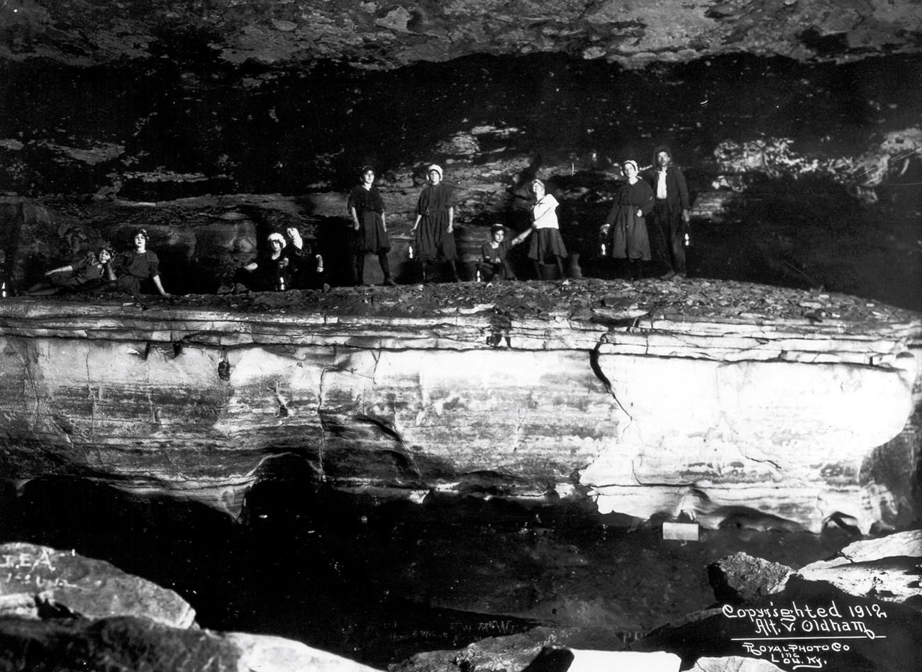
Discover the hidden wonders of Carter Caves State Resort Park in Kentucky, where underground adventures meet breathtaking above-ground beauty.


Swipe for more destinations
Explore more

Explore more of Inner Bluegrass
Explore Inner Bluegrass Kentucky for thoroughbred farms, historic Lexington, bourbon heritage, limestone landscapes and welcoming small towns.
Explore Inner Bluegrass
Explore more of Kentucky
Discover Kentucky, a land of natural wonders, historic landmarks, and rich cultural heritage. From horse racing to bourbon distilleries, this state has it all.
Explore Kentucky