

Free Eastern New Mexico Travel Guide & Mobile App
Explore Eastern New Mexico with free travel guides. Discover regional history, expert tips, proposed trips, and audio guides on web or mobile app.


Explore Eastern New Mexico for wide-open plains, Route 66 towns, prehistoric sites, volcanic landscapes, desert caves and dark-sky journeys.
Read more about Eastern New Mexico
Getting to and around Eastern New Mexico
How to get there
Transportation
Top city travel guides in Eastern New Mexico
The cities of Eastern New Mexico, and the easiest places to base yourself.
-

-
-
-

-

-


Swipe for more cities
Destinations in Eastern New Mexico
Resorts, valleys and scenic spots worth a trip of their own.
-

-

-

-

-
-


Swipe for more destinations
Best attractions in Eastern New Mexico
Eastern New Mexico's attractions are spread across open country and are best understood as a series of road journeys. In the north, Route 66 heritage in Tucumcari combines surviving roadside architecture with local museums and signs, while Ute Lake and nearby Logan provide boating, fishing and lakeside recreation. The Clovis and Portales area focuses on deep prehistory: Blackwater Draw National Historic Landmark and regional museum collections explain the archaeological importance of the high plains. Around Roswell, museums and galleries explore aviation, local history and the cultural afterlife of the 1947 incident, while Bottomless Lakes State Park offers swimming, walking and unusual sinkhole scenery. Capulin Volcano National Monument, in the north-east, has trails over a volcanic cinder cone and broad views across the plains. In the south-east, Carlsbad Caverns National Park is the region's defining natural attraction, complemented by desert hiking and wildlife experiences above ground. Fort Union National Monument adds military and Santa Fe Trail history, and the Living Desert Zoo and Gardens State Park near Carlsbad interprets the plants and animals of the Chihuahuan Desert.
-
National park
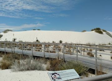
White Sands National Park
Discover the breathtaking beauty of White Sands National Park, where endless white dunes meet a vibrant desert landscape in New Mexico.
-
National reserve
Bandelier National Monument
Experience the breathtaking landscapes and rich history of Bandelier National Monument, a captivating national reserve in New Mexico.
-
Ski resort
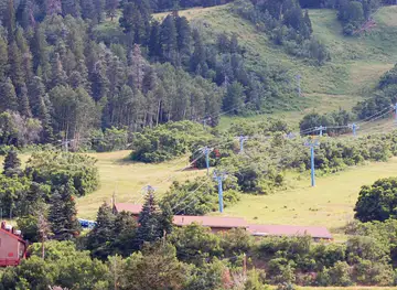
Ski Santa Fe
Discover the thrill of winter sports at Ski Santa Fe, a premier ski resort offering breathtaking views and diverse slopes in the heart of New Mexico.
-
Wildlife refuge
Bosque del Apache National Wildlife Refuge Visitor Center
Explore the breathtaking Bosque del Apache National Wildlife Refuge, a haven for wildlife lovers and birdwatching enthusiasts in the heart of New Mexico.

Best landmarks in Eastern New Mexico
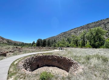
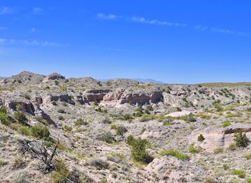
The most recognisable landmarks of Eastern New Mexico reveal the region's geological, military and transport history. Carlsbad Caverns lies beneath the Chihuahuan Desert as a vast limestone cave system whose underground chambers provide the south-east with a landmark of national and international significance. Capulin Volcano rises conspicuously above the north-eastern plains, its dark cinder cone contrasting with the surrounding grassland. At Fort Union National Monument, adobe ruins mark the largest nineteenth-century military post in the region and recall the strategic importance of the Santa Fe Trail. Tucumcari's surviving Route 66 motels, neon signs and roadside façades form a characteristic twentieth-century landscape, while the old highway's broad alignment remains an emblem of automobile travel. Blackwater Draw is less visually imposing but historically exceptional: its excavated deposits anchor the region's importance in the study of early North American settlement. In Roswell, the International UFO Museum and Research Center is a modern cultural landmark rather than an ancient structure, reflecting the way the 1947 incident has shaped the city's public identity.
-
National park
White Sands National Park
Explore the surreal beauty of White Sands National Park, where the world's largest gypsum dune field creates a stunning natural spectacle.
-
Historical landmark
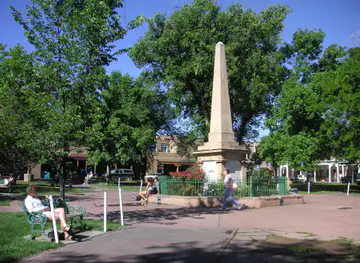
Santa Fe Plaza
Explore Santa Fe Plaza, a historic landmark blending Native American and Spanish heritage in the heart of New Mexico's capital.
-
National reserve
Bandelier National Monument
Discover the ancient cliff dwellings and stunning landscapes of Bandelier National Monument in New Mexico, a perfect blend of history and nature.
-
Historical landmark
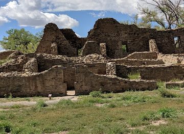
Aztec Ruins National Monument
Explore Aztec Ruins National Monument, a UNESCO World Heritage Site showcasing the breathtaking history and architecture of the Ancestral Puebloans in New Mexico.

Explore Eastern New Mexico on the map
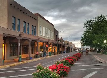
Plan your trip on one map. See where the top cities, national parks and sights are, and book hotels and experiences in a few clicks.
Best hotels in Eastern New Mexico
Best restaurants in Eastern New Mexico
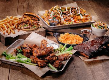
Dining in Eastern New Mexico reflects ranching, agriculture, migration and the region's position beside Texas and the wider Southwest. Local cafés, family restaurants and diners are important meeting places in towns such as Clovis, Portales, Roswell, Carlsbad and Tucumcari, while rural communities often rely on longstanding cafés, convenience stores and service-station food for travellers. New Mexican cooking is represented by dishes built around red or green chile, beans, tortillas and enchiladas, although menus vary considerably and Tex-Mex influences are also common near the state line. Agricultural districts contribute peanuts, dairy products, beef and other locally produced foods, while roadside restaurants along historic highways preserve a practical travel tradition. In Roswell and the larger south-eastern towns, visitors will find broader choices including Mexican restaurants, grills, cafés and contemporary dining. Farmers' markets and seasonal produce stalls can be useful places to encounter local ingredients, but their timing is seasonal and should be checked locally.
-
Sports bar
Twin Peaks
Experience the thrill of sports and indulge in delicious American cuisine at Twin Peaks - Albuquerque's ultimate sports bar destination.
-
Fast Food
McDonald's
Discover the classic taste of America at McDonald's in Roswell – serving up delicious fast food favorites all day long.
-
Southwestern American
Range Cafe Rio Grande
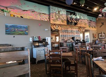
Discover delicious Southwestern American cuisine at Range Cafe Rio Grande in Albuquerque - where every meal is a taste adventure.
-
New American
Seasons 52
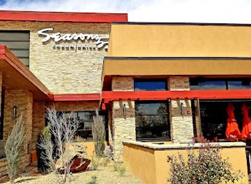
Discover Seasons 52 in Albuquerque: A fine dining experience featuring seasonal menus with health-conscious options for every palate.

Best bars in Eastern New Mexico
Evening life in Eastern New Mexico is generally centred on neighbourhood bars, traditional pubs, restaurants, hotel lounges, breweries and occasional live-music venues rather than a large nightclub circuit. Roswell, Clovis, Hobbs, Carlsbad and Portales have the broadest selection, with student and working communities supporting different patterns of nightlife. Tucumcari's evening identity remains closely connected with Route 66 travellers and small local establishments. In rural districts, distances and early closing times make dinner, conversation and stargazing more typical than late-night entertainment. Some communities host seasonal concerts, rodeo-related gatherings or local events, but programmes change frequently. Visitors should use designated drivers or reputable taxis and rideshare options where available, particularly because roads between towns can be long and poorly lit.
-
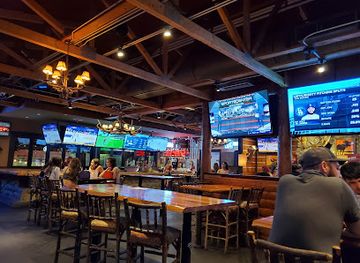
Sports bar
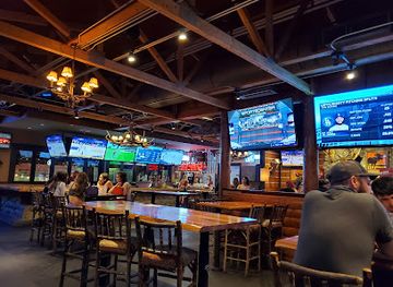
Twin Peaks
Experience the ultimate sports bar atmosphere at Twin Peaks in Albuquerque, serving American cuisine with a lively twist and a great selection of drinks.
-
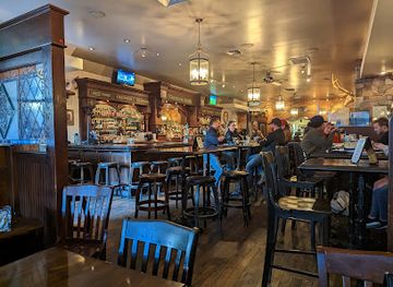
Irish pub
Two Fools Tavern
Experience the charm of Ireland at Two Fools Tavern, Albuquerque's favorite Irish pub with delicious food, drinks, and live entertainment.
-
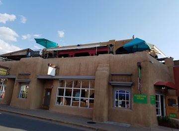
Southwestern American
Coyote Cafe & Rooftop Cantina
Experience the vibrant flavors of Southwestern cuisine at Coyote Cafe & Rooftop Cantina, where culinary artistry meets stunning views in Santa Fe.
-
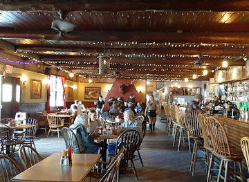
Grill
The Mine Shaft Tavern & Cantina
Discover the flavors of New Mexico at The Mine Shaft Tavern & Cantina, where great food meets a cozy atmosphere in the heart of Madrid.
Best nightclubs in Eastern New Mexico
Evening life in Eastern New Mexico is generally centred on neighbourhood bars, traditional pubs, restaurants, hotel lounges, breweries and occasional live-music venues rather than a large nightclub circuit. Roswell, Clovis, Hobbs, Carlsbad and Portales have the broadest selection, with student and working communities supporting different patterns of nightlife. Tucumcari's evening identity remains closely connected with Route 66 travellers and small local establishments. In rural districts, distances and early closing times make dinner, conversation and stargazing more typical than late-night entertainment. Some communities host seasonal concerts, rodeo-related gatherings or local events, but programmes change frequently. Visitors should use designated drivers or reputable taxis and rideshare options where available, particularly because roads between towns can be long and poorly lit.
-
Sports bar
Twin Peaks
Experience the ultimate sports bar vibe at Twin Peaks in Albuquerque, where great food, drinks, and sports come together in a lively atmosphere.
-
Grill
Maestas Lounge
Discover the vibrant flavors of New Mexico at Maestas Lounge, a premier grill and bar in La Loma that offers a unique dining experience.
-
Night club
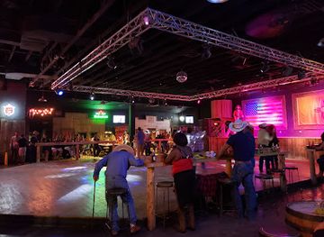
Whiskey Dicks Las Cruces
Experience the vibrant nightlife of Las Cruces at Whiskey Dicks, where great music and affordable drinks create the perfect party atmosphere.
-
Adult entertainment club
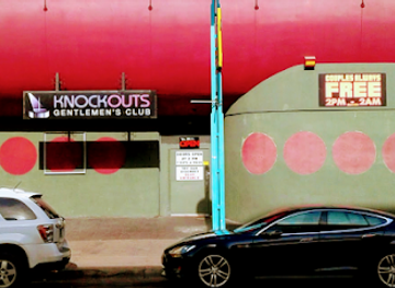
Knockouts Gentlemen’s Club
Discover the vibrant nightlife and exceptional entertainment at Knockouts Gentlemen’s Club in Albuquerque, a premier adult venue for unforgettable experiences.

Best shops in Eastern New Mexico
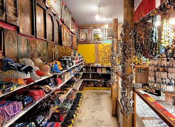
Shopping in Eastern New Mexico is concentrated in the main towns and market centres rather than in large destination retail districts. Roswell, Clovis, Hobbs, Carlsbad and Portales offer practical high-street shops, supermarkets, independent retailers, galleries and western-wear businesses, while Tucumcari has roadside stores and Route 66 memorabilia connected with its heritage identity. Farmers' markets and seasonal produce stands may offer peanuts, dairy products, preserves, baked goods and locally grown produce, depending on the time of year. Museums and visitor centres are useful for books, maps, archaeological interpretation and locally themed gifts. Western clothing, leather goods, regional art, pottery and turquoise jewellery can be found in specialist shops, although quality and provenance vary. Route 66 souvenirs and Roswell's extraterrestrial-themed merchandise are prominent in their respective towns; visitors interested in more durable purchases should also look for work by New Mexican artists and craftspeople rather than relying solely on novelty goods.
-
Gift shop
Invasion Station
Discover unique extraterrestrial souvenirs and local crafts at Invasion Station in Roswell, NM - where shopping meets alien adventure!
-
Gift shop
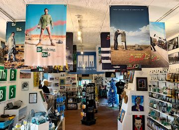
The Breaking Bad Store ABQ
Explore the iconic world of Breaking Bad at The Breaking Bad Store ABQ, where memorabilia and fan culture come alive in a unique shopping experience.
-
Gift shop
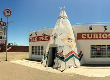
TeePee Curios
Explore TeePee Curios for a unique shopping experience, showcasing eclectic gifts, local art, and Route 66 memorabilia in Tucumcari, New Mexico.
-
Gift shop
Camino 66
Explore Camino 66 in Albuquerque for unique New Mexican gifts and local artisan treasures that capture the spirit of the Southwest.

Get your free copy of our complete guide to Eastern New Mexico, delivered straight to you.
Everything on this page, from attractions and restaurants to essentials and local phrases, in one PDF you can read offline, print or share.
Already have an account? Sign in
Your Eastern New Mexico guide is ready.
We'll send it to · Not you? Sign out

Getting your guide ready…
We are putting together a fresh copy of the Eastern New Mexico guide. This can take up to a minute.
This can take a few moments. If your browser asks, choose Allow so the download can start. You'll find the guide in your Downloads folder.
Nothing happened? Download it again
Sorry, the guide is taking longer than usual. Please try again in a minute, or get it by email instead.
Eastern New Mexico essentials
Currency and Payment
Safety
Emergency Situations
Do's and Don'ts
Local Tips
From Eve
Local phrases worth knowing
You don't need to get them perfect. A few words go a long way, and locals appreciate the effort.
Basics
| English | Local | Say it |
|---|---|---|
| Hello | Hola | [OH-lah] |
| Goodbye | Adiós | [ah-DYOS] |
| Yes | Sí | [SEE] |
| No | No | [NO] |
| Please/You're welcome | Por favor/De nada | [por fah-VOR/deh NAH-dah] |
| Thank you | Gracias | [GRAH-syahs] |
| Excuse me/Sorry | Perdón | [per-DON] |
| How are you? | ¿Cómo estás? | [KOH-moh es-TAS] |
| Fine. And you? | Bien. ¿Y tú? | [BYEN. ee TOO?] |
| Do you speak English? | ¿Hablas inglés? | [AH-blas een-GLES?] |
| I don't understand | No entiendo | [NO en-TYEN-doh] |
Eating & Drinking
| English | Local | Say it |
|---|---|---|
| I'd like to see the menu, please | Me gustaría ver el menú, por favor | [meh goos-TAH-ree-ah BEHR el meh-NOO, por fah-VOR] |
| I don't eat meat | No como carne | [NO KOH-moh KAR-neh] |
| Cheers! | ¡Salud! | [sah-LOOD] |
| I would like to pay, please | Me gustaría pagar, por favor | [meh goos-TAH-ree-ah pah-GAR, por fah-VOR] |
Emergencies
| English | Local | Say it |
|---|---|---|
| Help! | ¡Ayuda! | [ah-YOO-dah] |
| Go away! | ¡Vete! | [VEH-teh] |
| Call the Police! | ¡Llama a la policía! | [YAH-mah ah lah poh-lee-SEE-ah] |
| Call a doctor! | ¡Llame a un doctor! | [YAH-meh ah oon dok-TOR] |
| I'm lost | Estoy perdido | [es-TOY pehr-DI-doh] |
| I'm ill | Estoy enfermo/a | [es-TOY en-FER-mo/a] |
Shopping
| English | Local | Say it |
|---|---|---|
| I'd like to buy... | Me gustaría comprar... | [meh goos-TAH-ree-ah kom-PRAR...] |
| I'm just looking | Solo estoy mirando | [SOH-lo es-TOY mee-RAN-doh] |
| How much is it? | ¿Cuánto cuesta? | [KWAN-toh KWES-tah?] |
| That's too expensive | Eso es demasiado caro | [EH-so es deh-mah-SYAH-doh KAH-roh] |
| Can you lower the price? | ¿Puedes bajar el precio? | [PWEH-des bah-HAR el PREH-syo?] |
Time & Numbers
| English | Local | Say it |
|---|---|---|
| What time is it? | ¿Qué hora es? | [KEH OH-rah es?] |
| It's one o'clock | Es la una | [es lah OO-nah] |
| Half past (10) | Y diez y media | [ee DYESS ee MEH-dyah] |
| Morning | Mañana | [mah-NYAH-nah] |
| Afternoon | Tarde | [TAR-deh] |
| Evening | Noche | [NOH-cheh] |
| Yesterday | Ayer | [ah-YER] |
| Today | Hoy | [OY] |
| Tomorrow | Mañana | [mah-NYAH-nah] |
| 1 | Uno | [OO-noh] |
| 2 | Dos | [DOS] |
| 3 | Tres | [TRES] |
| 4 | Cuatro | [KWAH-troh] |
| 5 | Cinco | [SEEN-koh] |
| 6 | Seis | [SAYS] |
| 7 | Siete | [SYEH-teh] |
| 8 | Ocho | [OH-choh] |
| 9 | Nueve | [NWEH-veh] |
| 10 | Diez | [DYESS] |
Transport & Directions
| English | Local | Say it |
|---|---|---|
| Where's a/the...? | ¿Dónde está un/una...? | [DON-deh es-TAH oon/OO-nah...?] |
| What's the address? | ¿Cuál es la dirección? | [KWAL es lah dee-rek-SYON?] |
| Can you show me (on the map)? | ¿Me puedes mostrar (en el mapa)? | [meh PWEH-des mos-TRAR (en el MAH-pah)?] |
| When's the next (bus)? | ¿Cuándo viene el próximo (autobús)? | [KWAN-doh VYEH-neh el PROK-simo (ow-toh-BOOS)?] |
| A ticket (to ....) | Un boleto (a ....) | [OON boh-LEH-toh (ah ....)] |
History of Eastern New Mexico
Deep Prehistory and the Clovis Tradition
Eastern New Mexico is central to the story of early human occupation in North America. Blackwater Draw, near Portales, contains archaeological evidence of people, animals and changing environments dating back thousands of years, including material associated with the Clovis tradition. The name Clovis became widely known after distinctive fluted stone points were identified in the area during the twentieth century, although interpretations of the earliest settlement of the Americas have continued to develop. Nearby sites and collections help explain how prehistoric communities hunted, adapted to grassland environments and used the region's water sources long before modern towns existed.
Indigenous Plains Worlds Before European Expansion
For centuries the eastern plains were occupied and travelled by Indigenous peoples, including Apache, Comanche, Kiowa and other communities whose territories and relationships changed over time. The grasslands supported hunting, seasonal movement and trade, while rivers, springs and the high plains shaped routes across the region. European descriptions often reduced these complex societies to military encounters, but the broader history includes diplomacy, commerce, adaptation and resistance. Contemporary visitors should understand Eastern New Mexico as an Indigenous landscape whose history predates Spanish, Mexican and United States administration by many millennia.
Spanish and Mexican Routes across the Plains
Spanish colonial expansion connected eastern New Mexico to settlements along the Rio Grande and to routes across the plains. After Mexican independence in 1821, trade intensified along the Santa Fe Trail, which linked Missouri with Santa Fe through what is now eastern New Mexico. Traders, teamsters, Indigenous communities and military forces all shaped movement along this corridor. Fort Union, established in the nineteenth century near the trail, reflects the strategic and commercial importance of the plains, while surviving wagon ruts and nearby historic sites reveal the scale and difficulty of overland travel.
United States Expansion and Fort Union
Following the Mexican-American War, the United States incorporated New Mexico into its expanding western territories. Fort Union became a major military, supply and administrative centre, guarding routes and supporting United States campaigns during a period of conflict and forced change. During the Civil War, Confederate forces advanced into New Mexico before being defeated at the Battle of Glorieta Pass west of the region, an event that helped secure Union control of the territory. The ruins at Fort Union National Monument preserve the scale of this military presence and its connection with trade, transport and federal power.
Railways, Ranching and Agricultural Settlement
Railway construction in the late nineteenth century transformed eastern New Mexico, creating or expanding settlements, connecting cattle operations to distant markets and encouraging agricultural development. Towns such as Tucumcari, Clovis and Portales grew through their links to rail transport, while ranching remained fundamental across the plains. Irrigation and groundwater later enabled more intensive farming in parts of the Llano Estacado, although water availability has always been a serious constraint. The region's grain elevators, stockyards, depots and broad agricultural fields still reflect this period of settlement and economic change.
Route 66 and Twentieth-Century Mobility
The alignment of Route 66 across northern Eastern New Mexico brought a new era of automobile travel. Tucumcari became particularly associated with roadside motels, service stations, cafés and neon signs serving travellers between the Midwest and the Southwest. Interstate construction later diverted much through traffic, leaving surviving roadside buildings and illustrated signs as reminders of the highway's heyday. Route 66 also changed how the region was imagined by outsiders: not simply as ranch and railway country, but as a landscape encountered through long-distance road travel.
Oil, Aviation and the Roswell Legacy
The twentieth century brought major changes through petroleum production in the south-east, military aviation and expanding scientific and industrial activity. Roswell became internationally known after the 1947 recovery of military debris near the community, an event later linked in popular culture to claims of a crashed extraterrestrial craft. Official investigations identified the debris as connected with a classified balloon project, while the incident's alternative interpretations fuelled a lasting tourism and media industry. The episode is now one strand of Roswell's identity, alongside agriculture, aviation, museums and the wider history of south-eastern New Mexico.
Eastern New Mexico in Photos
Browse through our photo collection highlighting the charm and character of the destination.
Neighbouring regions of Eastern New Mexico
The closest regions to Eastern New Mexico, if you have time for more than one.
-
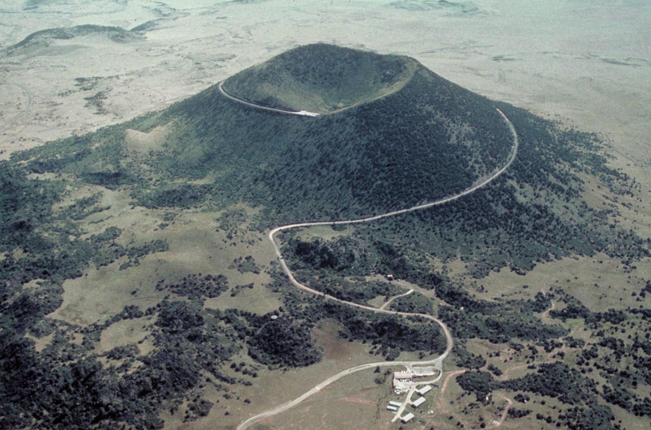 Northeast New Mexico
Explore Northeast New Mexico for Santa Fe Trail history, historic Las Vegas, mountain recreation, ranch country and wide-open high-plains landscapes.
-

-

-
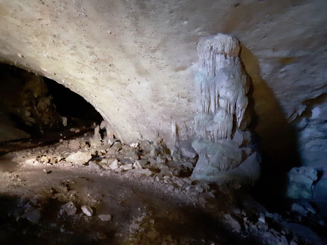 Southeast New Mexico
Explore Southeast New Mexico for Carlsbad Caverns, desert wildlife, Roswell UFO history, oil-country towns and the pine forests of the Sacramento Mountains.
-


Swipe for more regions
Explore more

Explore more of New Mexico
Discover the enchanting blend of rich history, diverse cultures, and stunning landscapes in New Mexico, the Land of Enchantment, where adventure and relaxation await.
Explore New Mexico