

Free Shenandoah Valley Travel Guide & Mobile App
Explore Shenandoah Valley with free travel guides. Discover regional history, expert tips, proposed trips, and audio guides on web or mobile app.


Explore Virginia’s Shenandoah Valley for Civil War history, cave systems, mountain scenery, historic towns, farms and locally produced food.
Read more about Shenandoah Valley
Getting to and around Shenandoah Valley
How to get there
Transportation
Top city travel guides in Shenandoah Valley
The cities of Shenandoah Valley, and the easiest places to base yourself.
-
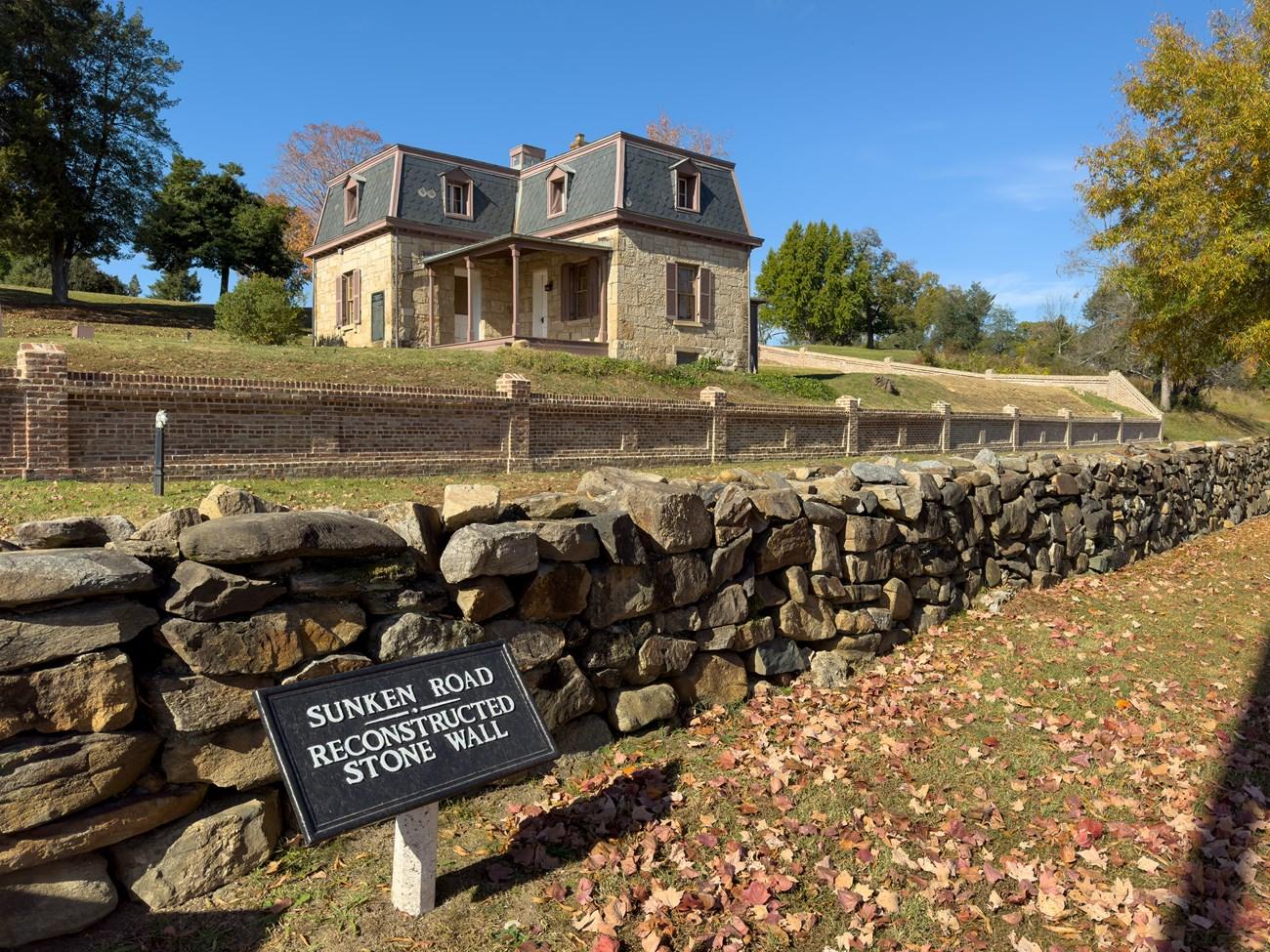 Fredericksburg
Discover Fredericksburg, Virginia: A historic gem with charming streets, vibrant arts, delicious cuisine, and natural beauty, perfect for history buffs, foodies, and nature lovers.
-

-

-

-


Swipe for more cities
Destinations in Shenandoah Valley
Resorts, valleys and scenic spots worth a trip of their own.
-

-

-

-


Swipe for more destinations
Best attractions in Shenandoah Valley
The Shenandoah Valley’s attractions combine landscape, history and working rural culture rather than concentrating in one major resort. Luray Caverns is the region’s best-known underground experience, with extensive limestone formations, while Shenandoah Caverns and Grand Caverns offer different cave settings in the central and southern Valley. Civil War interpretation is widespread, including New Market Battlefield State Historical Park, the Kernstown battlefield area near Winchester and smaller preserved sites around Cross Keys, Port Republic and Cool Spring. Historic towns provide museums, churches, theatres and house architecture, with notable cultural institutions in Winchester, Harrisonburg, Staunton and Lexington. The Frontier Culture Museum near Staunton examines migration and settlement through reconstructed historic environments. Outdoor options include canoeing and fishing on suitable stretches of the Shenandoah River, hiking in George Washington and Jefferson National Forests, cycling on country roads and exploring Massanutten Mountain. Shenandoah National Park, on the Blue Ridge east of the Valley, is a major nearby excursion reached through western approach roads, but its ridges and Skyline Drive should not be confused with the Valley floor itself. Farms, orchards, vineyards, breweries and seasonal markets add an agricultural dimension to sightseeing.
-
Tourist attraction
Luray Caverns
Explore the stunning Luray Caverns, Virginia's premier underground attraction featuring breathtaking formations and rich geological history.
-
Tourist attraction
Shenandoah Caverns
Discover the breathtaking underground beauty of Shenandoah Caverns, where nature's artistry meets an unforgettable family-friendly adventure in Virginia.
-
Ski resort
Wintergreen Resort
Discover the ultimate year-round escape at Wintergreen Resort, where breathtaking views and thrilling outdoor activities await in the stunning Blue Ridge Mountains.
-
Tourist attraction
Grand Caverns
Explore the stunning formations of Grand Caverns, Virginia's breathtaking underground wonder, offering a unique experience for every traveler.



Best landmarks in Shenandoah Valley
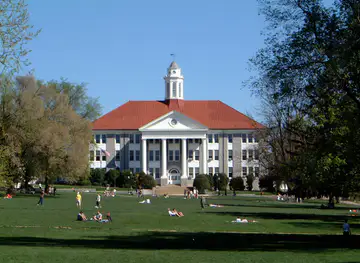
The Shenandoah Valley’s landmarks are defined by long views, historic corridors and buildings that reflect its role as an agricultural and military passage. Massanutten Mountain is one of the most recognisable natural features of the central Valley, dividing parts of the Shenandoah watershed and creating distinctive ridgelines. The Shenandoah River is another defining feature, although its course and tributaries pass through a varied working landscape rather than a single protected park. In Lexington, Washington and Lee University and the Virginia Military Institute form a notable architectural and institutional ensemble, while Staunton’s preserved central streets display nineteenth-century civic and commercial architecture. Winchester’s Old Town, historic churches and association with the Valley’s northern transport routes give it a strong sense of place. New Market Battlefield and the Virginia Museum of the Civil War preserve a landscape connected with the 1864 battle and the cadets of the Virginia Military Institute. Natural Bridge, in Rockbridge County, is a regionally significant limestone arch and natural landmark in the southern Valley. The Blue Ridge visible from many Valley viewpoints belongs to the neighbouring mountain landscape and should be distinguished from the Valley itself.
-
Farm
White Oak Lavender Farm & The Purple WOLF Vineyard
Experience the beauty and tranquility of White Oak Lavender Farm & The Purple WOLF Vineyard, where nature meets artistry in Harrisonburg, Virginia.
-
Zoo
Luray Zoo - A Rescue Zoo
Discover Luray Zoo, a rescue zoo in Virginia dedicated to rehabilitating wildlife while offering an educational experience for all ages.
-
Tourist attraction
Bear Mountain Ziplines
Discover the thrill of ziplining and high ropes courses at Bear Mountain Ziplines in Luray, Virginia—a must-visit adventure for nature lovers and thrill-seekers alike.
-
Scenic spot
Rock Point Overlook
Discover the breathtaking beauty of Rock Point Overlook, a scenic gem along the Blue Ridge Parkway offering stunning vistas and serene nature.


Explore Shenandoah Valley on the map
Plan your trip on one map. See where the top cities, national parks and sights are, and book hotels and experiences in a few clicks.
Best hotels in Shenandoah Valley
Best restaurants in Shenandoah Valley
Dining in the Shenandoah Valley reflects its agricultural base, Appalachian influences and increasingly diverse town populations. Farm-produced beef, pork, poultry, dairy, grains, apples, peaches, pumpkins and other seasonal crops appear in restaurants, farm shops and market stalls, although menus vary considerably between communities. Winchester has a broad selection of independent restaurants and cafés, while Harrisonburg’s university population and international communities have helped create a particularly varied food scene. Staunton and Lexington combine cafés, traditional American establishments, bakeries and contemporary dining in walkable historic settings. Rural areas are associated with country restaurants, diners, breweries, cideries and inns, often relying on nearby produce. Farmers’ markets are useful places to find fruit, preserves, baked goods and regional specialities, with availability changing through the year. Apple products, local cider and Virginia wine are prominent, but neither should be treated as a single defining cuisine. Booking may be sensible for well-known restaurants and busy autumn weekends, while smaller farm businesses may keep seasonal or limited hours.
-
Restaurant
Blue Mountain Brewery
Experience Virginia's finest craft beers at Blue Mountain Brewery amidst breathtaking Blue Ridge Mountain views.
-
Pizza
Il Vesuvio Italian Restaurant & Pizzeria
Discover authentic Italian flavors at Il Vesuvio Italian Restaurant & Pizzeria in Luray – where every meal feels like a trip to Italy.
-
Breakfast
Rudy’s Diner
Experience the heartwarming charm of Rudy's Diner in Shenandoah - where delicious breakfasts meet friendly service in a cozy setting.
-
Family-friendly
Brookside Restaurant & Cabins
Discover family-friendly dining and cozy cabins at Brookside Restaurant & Cabins in Luray, Virginia - your perfect getaway destination.



Best bars in Shenandoah Valley
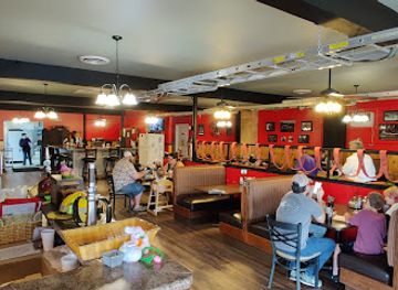
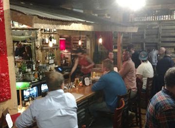
Evening life in the Shenandoah Valley is led by traditional pubs, breweries, cideries, restaurants, cafés and live performance rather than a continuous nightclub scene. Winchester, Harrisonburg and Staunton have the broadest choice of bars and evening venues, with Harrisonburg benefiting from a sizeable student population and Staunton offering theatre and music alongside its dining scene. Lexington has a compact evening circuit shaped by its colleges, historic centre and restaurants. In smaller towns and rural districts, evenings tend to centre on local taverns, community events, brewery taprooms and occasional live music, with venues separated by driving distances. The region’s cider and craft-beer businesses are part of its agricultural economy, but designated drivers are important because public transport is limited outside the main towns. Opening arrangements and programming change frequently, so check current information rather than assuming that a venue operates every night.
-
Buffet
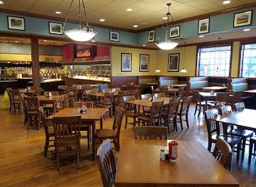
Wood Grill Buffet
Discover a vast array of delicious dishes at Wood Grill Buffet, Harrisonburg's premier buffet restaurant, perfect for food lovers and families alike.
-
Tourist attraction
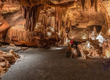
Shenandoah Caverns
Explore the mesmerizing underground beauty of Shenandoah Caverns, a family-friendly destination in Virginia's stunning Shenandoah Valley.
-
Bar
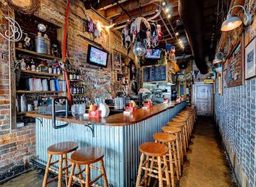
Jack Brown's Beer & Burger Joint Harrisonburg
Experience the ultimate burger and beer haven at Jack Brown's Beer & Burger Joint in Harrisonburg, where flavor meets fun in every bite.
-
Caterer
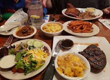
Hank's Grille & Catering
Discover Hank's Grille & Catering in McGaheysville, VA - a blend of barbecue delights, bakery treats, and family-friendly dining experiences.
Best nightclubs in Shenandoah Valley
Evening life in the Shenandoah Valley is led by traditional pubs, breweries, cideries, restaurants, cafés and live performance rather than a continuous nightclub scene. Winchester, Harrisonburg and Staunton have the broadest choice of bars and evening venues, with Harrisonburg benefiting from a sizeable student population and Staunton offering theatre and music alongside its dining scene. Lexington has a compact evening circuit shaped by its colleges, historic centre and restaurants. In smaller towns and rural districts, evenings tend to centre on local taverns, community events, brewery taprooms and occasional live music, with venues separated by driving distances. The region’s cider and craft-beer businesses are part of its agricultural economy, but designated drivers are important because public transport is limited outside the main towns. Opening arrangements and programming change frequently, so check current information rather than assuming that a venue operates every night.
-
Bar
Jack's Hideaway
Experience the charm of Jack's Hideaway, a cozy bar in Harrisonburg serving craft cocktails, local brews, and a warm atmosphere perfect for socializing.
Best shops in Shenandoah Valley
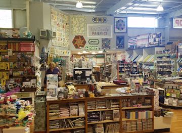
Shopping in the Shenandoah Valley is centred on historic main streets, independent businesses, farm outlets and market towns rather than a single major retail district. Winchester’s Old Town, Staunton’s central streets, Harrisonburg’s downtown and Lexington’s compact centre offer books, clothing, art, antiques, gifts and locally owned cafés. Farmers’ markets and farm shops provide seasonal fruit, vegetables, preserves, baked goods, flowers, meat and dairy products, with the strongest selection varying by season and community. Orchard goods, Virginia wine, cider, craft beer and locally made foods are practical regional purchases, subject to transport and customs rules for international travellers. Galleries and craft shops may feature pottery, woodwork, textiles, jewellery and paintings inspired by the Valley’s landscapes, while outlet-style and everyday retail is concentrated near larger towns and transport corridors. Rural businesses may have limited hours or be closed between seasons, so check before making a special journey and do not assume every roadside stand accepts cards.
-
Shopping mall
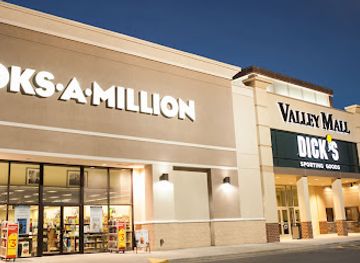
Valley Mall
Explore Valley Mall: Harrisonburg's premier shopping destination with diverse stores, delightful dining, and lively community events.
-
Gift shop
Shenandoah Heritage Market
Explore the vibrant Shenandoah Heritage Market in Harrisonburg, Virginia, where unique gifts, antiques, and local produce await your discovery.
-
Farm
White Oak Lavender Farm & The Purple WOLF Vineyard
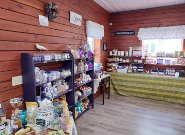
Experience the tranquility of White Oak Lavender Farm & The Purple WOLF Vineyard, where lavender fields meet exquisite wines in a stunning natural setting.
-
Antique store
Factory Antique Mall
Explore the Factory Antique Mall in Verona, VA for a unique collection of vintage treasures, eclectic décor, and timeless collectibles that capture history.

Get your free copy of our complete guide to Shenandoah Valley, delivered straight to you.
Everything on this page, from attractions and restaurants to essentials and local phrases, in one PDF you can read offline, print or share.
Already have an account? Sign in
Your Shenandoah Valley guide is ready.
We'll send it to · Not you? Sign out

Getting your guide ready…
We are putting together a fresh copy of the Shenandoah Valley guide. This can take up to a minute.
This can take a few moments. If your browser asks, choose Allow so the download can start. You'll find the guide in your Downloads folder.
Nothing happened? Download it again
Sorry, the guide is taking longer than usual. Please try again in a minute, or get it by email instead.
Shenandoah Valley essentials
Currency and Payment
Safety
Emergency Situations
Do's and Don'ts
Local Tips
From Eve
Local phrases worth knowing
You don't need to get them perfect. A few words go a long way, and locals appreciate the effort.
Basics
| English | Local | Say it |
|---|---|---|
| Hello | Howdy | [haʊdi] |
| Goodbye | See ya | [si jə] |
| Yes | Yep | [jɛp] |
| No | Nope | [noʊp] |
| Please/You're welcome | Please / No problem | [pliz / noʊ ˈprɑbləm] |
| Thank you | Thanks a lot | [θæŋks ə lɑt] |
| Excuse me/Sorry | Excuse me / Sorry 'bout that | [ɪkˈsk juz mi / ˈsɔri baʊt ðæt] |
| How are you? | How're ya? | [haʊər jə] |
| Fine. And you? | I'm good. And you? | [aɪm ɡʊd. ənd jə] |
| Do you speak English? | Y’all speakin’ English? | [jɔl ˈspikɪn ˈɪŋɡlɪʃ] |
| I don't understand | I ain't followin’ | [aɪ eɪnt ˈfɑloʊɪn] |
Eating & Drinking
| English | Local | Say it |
|---|---|---|
| I'd like to see the menu, please | Can I see the menu, please? | [kæn aɪ si ðə ˈmɛnju pliz] |
| I don't eat meat | I don’t eat no meat | [aɪ doʊnt it noʊ mit] |
| Cheers! | Cheers! | [tʃɪrz] |
| I would like to pay, please | Can I pay, please? | [kæn aɪ peɪ pliz] |
Emergencies
| English | Local | Say it |
|---|---|---|
| Help! | Help! | [hɛlp] |
| Go away! | Shoo! | [ʃu] |
| Call the Police! | Call the cops! | [kɔl ðə kɑps] |
| Call a doctor! | Get a doctor! | [ɡɛt ə ˈdɑktər] |
| I'm lost | I’m lost | [aɪm lɔst] |
| I'm ill | I don’t feel good | [aɪ doʊnt fil ɡʊd] |
Shopping
| English | Local | Say it |
|---|---|---|
| I'd like to buy... | I wanna buy... | [aɪ ˈwɑnə baɪ] |
| I'm just looking | Just lookin’ | [dʒʌst ˈlʊkɪn] |
| How much is it? | What’s the price? | [wɑts ðə praɪs] |
| That's too expensive | That’s too high | [ðæts tu haɪ] |
| Can you lower the price? | Can ya drop the price? | [kæn jə drɑp ðə praɪs] |
Time & Numbers
| English | Local | Say it |
|---|---|---|
| What time is it? | What time ya got? | [wɑt taɪm jə ɡɑt] |
| It's one o'clock | It’s one | [ɪts wʌn] |
| Half past (10) | Half past ten | [hæf pæst tɛn] |
| Morning | Mornin’ | [ˈmɔrnɪn] |
| Afternoon | Afternoon | [ˈæftərˌnun] |
| Evening | Evenin’ | [ˈivnɪn] |
| Yesterday | Yestidy | [ˈjɛstəˌdi] |
| Today | Today | [təˈdeɪ] |
| Tomorrow | Tomorrah | [təˈmɒrə] |
| 1 | One | [wʌn] |
| 2 | Two | [tu] |
| 3 | Three | [θri] |
| 4 | Four | [fɔr] |
| 5 | Five | [faɪv] |
| 6 | Six | [sɪks] |
| 7 | Seven | [ˈsɛvən] |
| 8 | Eight | [eɪt] |
| 9 | Nine | [naɪn] |
| 10 | Ten | [tɛn] |
Transport & Directions
| English | Local | Say it |
|---|---|---|
| Where's a/the...? | Where’s the...? | [wɛrz ðə] |
| What's the address? | What’s the address? | [wɑts ði ˈædrɛs] |
| Can you show me (on the map)? | Can ya point it out? | [kæn jə pɔɪnt ɪt aʊt] |
| When's the next (bus)? | When's the next bus? | [wɛn's ðə nɛkst bʌs] |
| A ticket (to ....) | One ticket to... | [wʌn ˈtɪkɪt tu] |
History of Shenandoah Valley
Indigenous Landscapes and Early Settlement
The Shenandoah Valley was inhabited and travelled by Indigenous peoples for thousands of years before European settlement. The Shenandoah River and its tributaries provided routes through the mountains, while fertile soils supported hunting, gathering and agriculture. The Valley’s name is commonly linked to Indigenous history, although its exact linguistic origin remains debated. European expansion during the eighteenth century displaced Native communities and transformed land ownership, trade and settlement patterns. Archaeological evidence and present-day interpretation are important reminders that the Valley’s history begins long before the farms and towns associated with its later colonial development.
The Great Wagon Road and Colonial Migration
During the eighteenth century, the Great Wagon Road carried migrants south-west from Pennsylvania through the Valley and beyond. German-speaking settlers, Scots-Irish families, English colonists and others established farms, mills, churches and market communities. Winchester developed as a commercial centre in the northern Valley, while settlements grew around transport routes and fertile limestone soils farther south. The Valley became part of the agricultural frontier of colonial Virginia, producing grain and livestock and linking inland farms with eastern markets. This period established the mixed European cultural influences still visible in local architecture, religious traditions and foodways.
Agriculture, Towns and Enslaved Labour
By the late eighteenth and early nineteenth centuries, the Shenandoah Valley had become one of Virginia’s important agricultural districts. Wheat, corn, livestock and later orchard crops shaped the economy, supported by mills, turnpikes and market towns. Wealthier farms and estates relied in part on enslaved African American labour, while free Black communities also formed in the region. Towns such as Staunton, Harrisonburg and Lexington expanded as county seats, educational centres and trading places. Historic buildings and museums preserve elements of this development, but the Valley’s landscape should also be understood through the experiences of enslaved people, small farmers, labourers and displaced Indigenous communities.
The Valley Campaigns of the Civil War
The Shenandoah Valley was strategically important during the American Civil War because it offered a north-south corridor, abundant agricultural supplies and routes towards the Potomac and the Shenandoah’s lower reaches. Important actions occurred at Front Royal, First Kernstown, Cross Keys, Port Republic, New Market and elsewhere. The 1864 Valley Campaign included major Union and Confederate operations and the destruction of farms and resources during Philip Sheridan’s campaign. Battlefield parks, museums and preserved landscapes across the Valley interpret the military events alongside their effects on civilians, agriculture and communities.
Railways, Industry and the New Market Economy
Railways reached and expanded through the Valley during the nineteenth century, linking agricultural producers with wider American markets and encouraging the growth of towns, mills, warehouses and processing businesses. Rail transport helped move grain, livestock and later orchard produce, while manufacturing developed around local resources and transport connections. The Valley did not become an industrial region on the scale of northern cities, but railways changed its commercial geography and strengthened the importance of places such as Harrisonburg, Staunton and Winchester. Several historic town centres and railway-related buildings retain traces of this transition.
The Great Valley Road and Interstate Travel
Modern roads followed older movement corridors through the Valley. The Valley Pike, much of which corresponds broadly to present-day U.S. Route 11, connected communities along the central lowlands, while later highways and Interstate 81 accelerated long-distance travel and freight movement. Improved roads broadened access to farms, colleges, military institutions, caves and mountain recreation. They also encouraged suburban growth around larger towns and altered older main streets. The result is a region where historic roads, working farms and contemporary transport infrastructure often exist within the same landscape.
Conservation, Heritage and Contemporary Regional Identity
During the twentieth and twenty-first centuries, conservation and heritage tourism became increasingly important alongside farming, education, healthcare and manufacturing. Shenandoah National Park protects the Blue Ridge east of the Valley, while national forests, river corridors and local parks preserve other landscapes. Museums, battlefield sites, historic theatres and restored town centres interpret the region’s past, including its difficult legacies. Today the Valley combines large-scale agriculture with vineyards, breweries, cider producers, outdoor recreation and cultural institutions, while continuing to function as a settled working region rather than solely as a tourism landscape.
Shenandoah Valley in Photos
Browse through our photo collection highlighting the charm and character of the destination.
Neighbouring regions of Shenandoah Valley
The closest regions to Shenandoah Valley, if you have time for more than one.
-

-

-

-
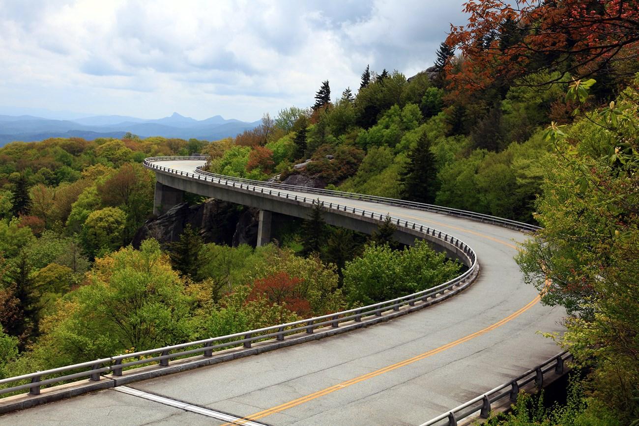 Roanoke Valley
 pairs Blue Ridge trails, railway heritage, Appalachian food and lively Virginia towns with easy access to scenic mountain drives.
-


Swipe for more regions
Explore more

Explore more of Virginia
Discover Virginia: A blend of historic landmarks, natural beauty, and vibrant culture perfect for history buffs, nature lovers, and culture seekers.
Explore Virginia