Background

Rømødæmningen Causeway

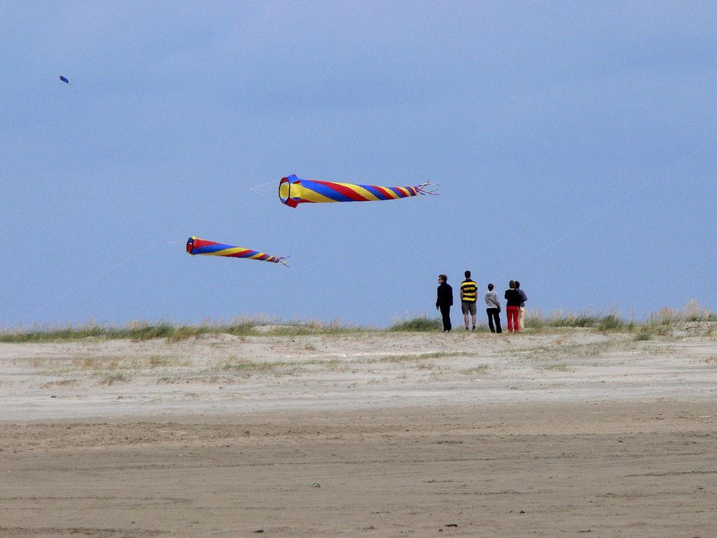
Long, low and wind-swept, Rømødæmningen is the scenic lifeline to Rømø, tracing a 9km ribbon of road across Denmark’s ever‑changing Wadden Sea.

4.8

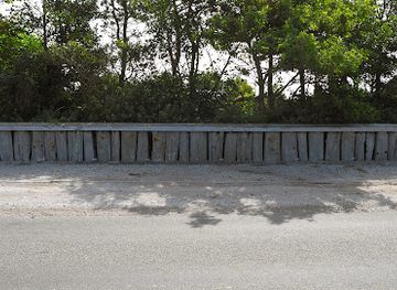
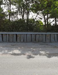
Rømødæmningen is a 9.2km road causeway carrying Rømøvej across the Wadden Sea between the Jutland mainland and the island of Rømø. Built between 1939 and 1948 as a major engineering and employment project, it is Denmark’s longest road embankment and the only land link to Rømø. Crossing it feels like gliding just above the tidal flats, with wide skies, seabirds and grazing sheep on reclaimed marshes. Simple lay-bys let you stop to admire the UNESCO-listed Wadden Sea landscape and its ever‑changing tides.

A brief summary to Rømødæmningen

  • Rømøvej, Rømø, 6792, DK
  • Visit website
  • Duration: 0.5 to 2 hours
  • Free
  • Environment icon Outdoor
  • Mobile reception: 4 out of 5

Local tips

  • Use the signed lay‑bys along the dam to stop safely for views and photos; pulling onto the narrow shoulders outside these areas is not recommended.
  • Bring binoculars for birdwatching, especially during spring and autumn migration, when large numbers of waders and geese pass through the Wadden Sea.
  • Expect strong crosswinds; keep a firm grip on the steering wheel when driving and be prepared for gusts if cycling across the dam.
  • Dress in windproof layers even in summer, as the exposed location over the tidal flats can feel considerably cooler than inland.
  • Respect restrictions on walking on the mudflats directly beside the dam and enjoy the views from paths, lay‑bys and designated viewpoints instead.
widget icon

Getting There

  • Car from Skærbæk

    From Skærbæk town centre, follow the main road west towards Rømø; the drive to and across Rømødæmningen typically takes 15–25 minutes depending on traffic. The causeway is toll‑free and open year‑round. Parking is available on Rømø at beaches and village car parks rather than on the dam itself. In summer, allow extra time for congestion as day‑trippers head to the island.

  • Regional bus from Skærbæk

    Regional bus services run between Skærbæk and Rømø, crossing Rømødæmningen en route and taking around 25–35 minutes. Buses usually run several times per day, with more departures in the main holiday season and fewer in winter and on weekends. A one‑way adult ticket from Skærbæk to Rømø is typically in the range of 20–30 DKK, depending on discounts and ticket type.

  • Train plus bus from Esbjerg

    From Esbjerg, take a regional train to Skærbæk, a journey of about 45–60 minutes, then change to the bus towards Rømø, which adds another 25–35 minutes over Rømødæmningen. Combined travel time is usually 1.5–2 hours. Standard rail fares between Esbjerg and Skærbæk often fall between 70 and 120 DKK one way, with local bus tickets from Skærbæk to Rømø in the 20–30 DKK range.

  • Cycling from the mainland

    Experienced cyclists can ride from the Skærbæk area onto Rømøvej and across Rømødæmningen in roughly 45–75 minutes, depending on starting point and wind. The route is almost flat but very exposed; strong crosswinds and passing traffic demand extra care. There is no fee to cross by bicycle. This option is best in mild, dry weather and outside peak holiday traffic times.

Rømødæmningen location weather suitability

  • Weather icon Clear Skies
  • Weather icon Windy Conditions
  • Weather icon Mild Temperatures
  • Weather icon Cold Weather
  • Weather icon Any Weather

Unlock the Best of Rømødæmningen

Buy tickets

    No tickets available

Book tours with entry

    No tours available

Book tours without entry

    No tours available

Discover more about Rømødæmningen

A ribbon of road across the Wadden Sea

Rømødæmningen is far more than a stretch of tarmac. This 9.2km causeway carries Rømøvej from the Jutland mainland out to the island of Rømø, forming the only fixed link to Denmark’s largest Wadden Sea island. As you drive, cycle or walk along its broad top, the road appears to float just above the tidal flats, with nothing but sea, sky and grazing marsh spreading out on either side. Laid directly onto the seabed, the embankment is around 60m wide at its base and roughly 13m at the crown, high enough to keep storm tides at bay yet low enough to maintain a close connection with the surrounding landscape. On clear days you can pick out Rømø’s dune ridges and the low mainland dykes in the distance, while in mist the causeway becomes a minimalist line between water and sky.

From work project to vital lifeline

The idea of a fixed connection to Rømø had circulated for decades, but it was the economic hardship of the 1930s that finally turned plans into reality. Construction began around 1939 as a labour project, giving work to hundreds of men armed largely with shovels and simple machinery. World War II slowed progress dramatically; what was intended as a four‑year undertaking stretched to nearly a decade. By the time the causeway opened in 1948, around two million cubic metres of earth had been moved from extraction pits in Jutland and on Rømø itself. The original carriageway was narrower, but booming car traffic in the 1960s led to a widening of the road, creating the multi‑lane profile you see today. Since opening, the dam has withstood several severe storm surges, most notably in 1976 and 1999, after which damaged slopes and protective revetments were painstakingly repaired.

Shaping tides and marshland

Rømødæmningen does not just cross the Wadden Sea; it has helped reshape it. When the embankment went in, an area of shallow sea to the south was partially cut off, redirecting tides and currents and subtly altering how sand and silt are deposited. Over time, efforts to reclaim land along the dam led to new polders and grazing meadows, where flocks of sheep now nibble the salty grass behind protective dykes. Out towards Juvre Enge, you can see where the relentless pull of the tide has gnawed at older embankments and dykes, telling a quiet story of trial and error in coastal defence. Nearby, clay dug for reinforcement has been turned into wildlife‑rich wetlands, including the lake of Juvre Engsø, now an attractive resting place for waterbirds.

Gateway to a UNESCO seascape

The causeway crosses the Danish section of the Wadden Sea, part of a vast tidal ecosystem recognised as a UNESCO World Heritage Site. Twice a day, the sea retreats to reveal shimmering mudflats and sandbanks, then surges back in long, slow waves. From the lay‑bys along the dam you can watch flocks of waders probing the exposed flats, geese and ducks commuting between feeding grounds, and, in the right season, swirling clouds of migratory birds. Because the tidal areas alongside the dam are sensitive, access to the mudflats here is restricted. Instead, Rømødæmningen is best appreciated as a scenic balcony over the landscape. Shifting light, wind‑ruffled water and the distant calls of birds create a sense of constant change that rewards unhurried observation.

Experiencing the crossing

For many travellers, the moment they leave the mainland and enter this open seascape marks the true beginning of a Rømø visit. Drivers experience a steady glide between low guardrails, while cyclists get the full effect of salt‑laden air and wind. Simple rest areas offer safe spots to pull over, scan the horizon and photograph the long, straight line of the road vanishing into the distance. The crossing can feel very different depending on the season and weather. In summer, warm light and blue skies create a holiday mood, with more traffic heading to Rømø’s vast beaches. In winter or on blustery days, grey clouds, whitecaps and the thrum of the wind against the car make the journey feel more elemental, underlining how exposed this landscape really is.

Rømødæmningen’s quiet character today

Today the dam is jointly owned and maintained by national coastal authorities and the local municipality, which look after its earthen core, clay facing and protective stonework. Routine work includes clearing storm debris, repairing grassed slopes and replacing broken revetment tiles after heavy weather. Despite its importance as an infrastructure link, Rømødæmningen retains a surprisingly tranquil character. There are no buildings on the dam itself, only the road, embankments and the occasional information board explaining the Wadden Sea’s unique nature and the history of the causeway. It remains a place where engineering and landscape meet, and where a simple journey to an island doubles as an introduction to one of northern Europe’s most distinctive coastal environments.

Busiest months of the year

Busiest hours of the day

Popular Experiences near Rømødæmningen

Popular Hotels near Rømødæmningen

Select Currency