From Eve
Know before you go
Hi, I'm Eve. Here are a few practical things to know before exploring Mosedalsbjerg.
Local know-how to help you travel smarter and make the most of every moment.

Historic dune with WWII bunker, seal colonies, and sweeping Wadden Sea vistas
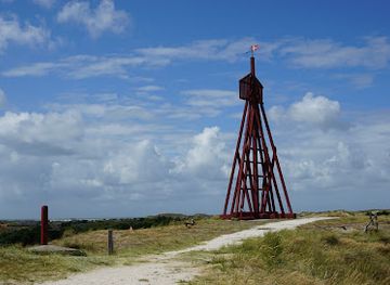
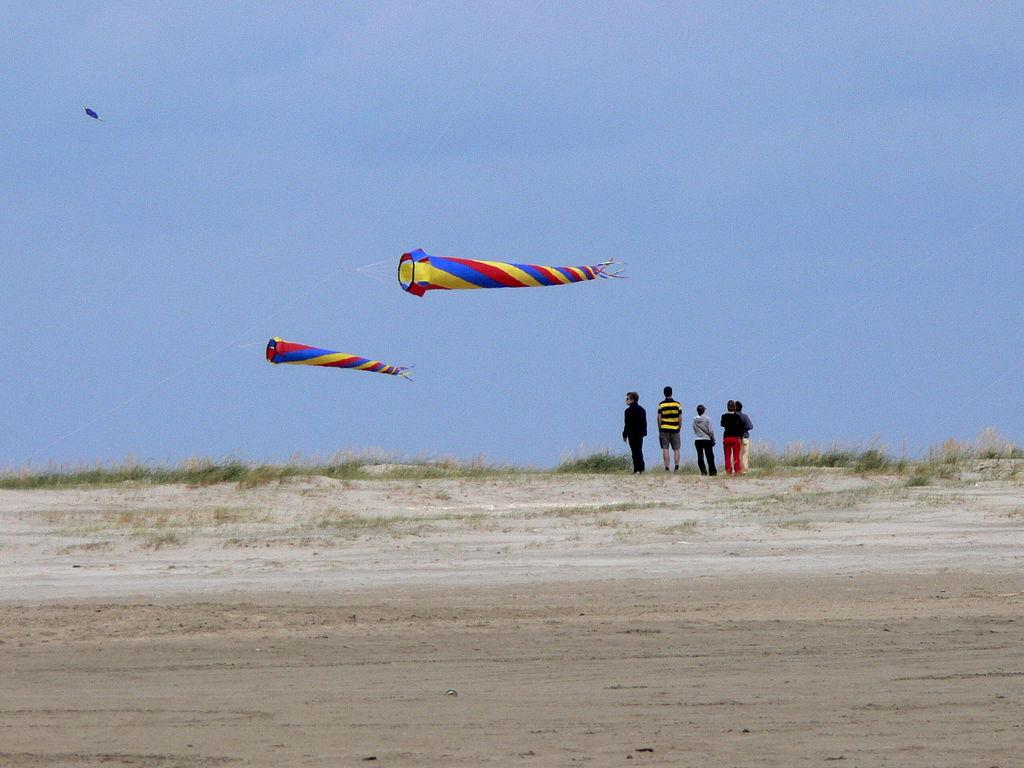
Mosedalsbjerg is one of Fanø's five highest dunes, offering panoramic views across the southern island and the Wadden Sea. This distinctive sand dune features a World War II personnel bunker and represents a crucial point in the Atlantic Wall's defensive line. The surrounding landscape reveals layers of the island's geological and historical development, with nearby seal colonies and tidal meadows adding natural richness to the experience.
Opening times, essentials, and a few local tips gathered into one calmer, easier-to-scan planning section.
Hi, I'm Eve. Here are a few practical things to know before exploring Mosedalsbjerg.
Local know-how to help you travel smarter and make the most of every moment.
Car from Fanø Bad (northern village)
Drive south through Fanø on the main road connecting Nordby and Sønderho, approximately 12–15 kilometres, taking 20–25 minutes. Follow signs toward Sønderho and the southern dune areas. Free parking is available at the Mosedalsbjerg car park near the dune base. The road is well-maintained year-round.
Bicycle from Sønderho village
Cycle south from Sønderho village along the coastal road and dune paths, approximately 4–5 kilometres, taking 15–20 minutes depending on terrain. Fanø has extensive cycling infrastructure with flat, accessible routes. Bicycle rental is available in both Nordby and Sønderho for approximately 80–120 DKK per day.
Walking from Sønderho
A scenic walk of approximately 5–6 kilometres from Sønderho village takes 60–90 minutes. Follow the coastal paths and dune trails southward. The terrain is mostly flat sand and marked paths, though soft sand can slow progress. This route passes through characteristic Fanø landscape and is suitable for most fitness levels.
Ferry and car from Esbjerg mainland
Take the Fanø ferry from Esbjerg harbour to Fanø (Nordby terminal), approximately 12 minutes, with departures every 30–60 minutes. Ferry costs approximately 50–70 DKK per person. Drive or cycle south from Nordby to Mosedalsbjerg as described above. Total travel time from Esbjerg is approximately 60–90 minutes including ferry wait.
Use Mosedalsbjerg as your starting point for nearby food, family ideas, nightlife, and more local discoveries.
A quick look at seasonal patterns and peak visiting hours.

Explore expert travel guides, compare and book tours, experiences, hotels, and more—all from the palm of your hand. Download now for seamless trip planning wherever your wanderlust takes you.
Discover Rømø: Denmark's serene island with expansive beaches, rich Viking history, and thrilling windsurfing adventures in the heart of the Wadden Sea National Park.
Tell me more about Romo