

Free Northern Cascades Travel Guide & Mobile App
Explore Northern Cascades with free travel guides. Discover regional history, expert tips, proposed trips, and audio guides on web or mobile app.


Explore Northern Cascades, Washington, for glacier-clad peaks, alpine lakes, forest trails, scenic drives and the dry valleys east of the crest.
Read more about Northern Cascades
Getting to and around Northern Cascades
How to get there
Transportation
Top city travel guides in Northern Cascades
The cities of Northern Cascades, and the easiest places to base yourself.
-

-

-

-

-

-


Swipe for more cities
Destinations in Northern Cascades
Resorts, valleys and scenic spots worth a trip of their own.
-
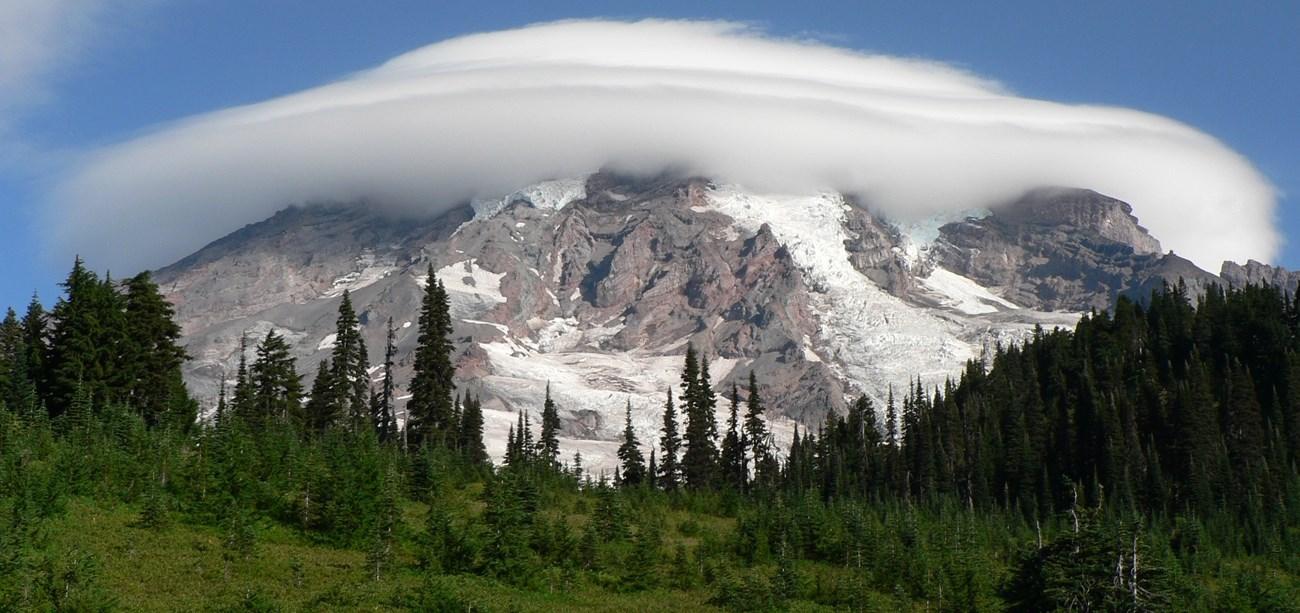 Mount Rainier National Park
 in Washington offers glacier-clad peaks, wildflower meadows, old-growth forests, scenic drives, hiking and heritage.
-

-
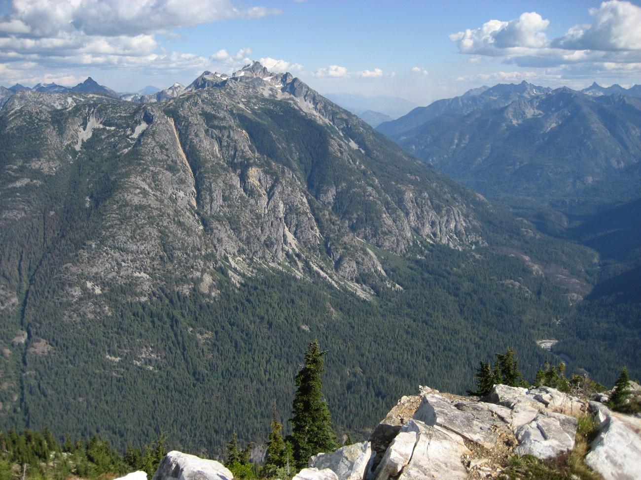 North Cascades National Park
 in Washington offers glaciers, alpine lakes, jagged peaks, wilderness trails and scenic drives through the American mountains.
-

-

-


Swipe for more destinations
Best attractions in Northern Cascades
Northern Cascades attractions are primarily landscapes and access routes rather than a chain of conventional city museums. North Cascades National Park offers glacier viewpoints, alpine lakes, rugged trail systems and interpretive areas around Newhalem, while Ross Lake National Recreation Area and Lake Chelan National Recreation Area extend opportunities for boating, fishing, camping and water-based travel. The North Cascades Highway links viewpoints such as Diablo Lake Overlook with trailheads and forest corridors, although its seasonal operation must be checked before travel. Mount Baker-Snoqualmie National Forest provides further hiking, climbing, skiing and wildlife-watching opportunities on the western side of the range. East of the crest, the Methow Valley combines walking and cycling routes with ranching landscapes, and the town of Winthrop offers a distinctive historic-themed commercial centre. Lake Chelan supports beaches, boating, vineyards and access towards remote Stehekin, while smaller Skagit Valley communities provide gateways to waterfalls, river scenery and historic local sites. The attraction landscape rewards visitors who combine a few accessible viewpoints with carefully chosen walks rather than trying to cover every valley in one journey.
-
National forest
Mt. Baker-Snoqualmie National Forest
Discover the breathtaking beauty and adventure of Mt. Baker-Snoqualmie National Forest in Washington, a must-visit destination for nature lovers.
-
Park
Whatcom Falls Park
Explore the natural beauty of Whatcom Falls Park in Bellingham, WA, featuring stunning waterfalls, lush trails, and countless outdoor adventures.
-
Park
Bridal Veil Falls Provincial Park
Experience the breathtaking Bridal Veil Falls Provincial Park, a natural paradise in British Columbia featuring stunning waterfalls and scenic hiking trails.
-
Tourist attraction
Diablo Lake Vista Point
Experience the stunning beauty of Diablo Lake Vista Point, a scenic gem in Washington's North Cascades, perfect for nature lovers and photographers.


Best landmarks in Northern Cascades
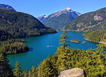
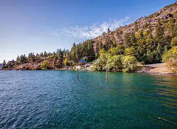
The most recognisable landmarks of Northern Cascades are its mountain passes, reservoirs, dams and historic small-town streets. Diablo Lake is known for its unusually vivid blue-green water, created by finely ground rock flour carried from the surrounding glaciers, while Ross Lake stretches north through a forested mountain valley behind Ross Dam. The North Cascades Highway provides the region's principal scenic crossing, with viewpoints that reveal jagged peaks, deep valleys and high snowfields; Washington Pass and Rainy Pass are especially significant points on the route when open. In the eastern foothills, Winthrop's preserved western-style commercial architecture reflects a twentieth-century decision to develop a distinctive visitor identity after the town's earlier economic patterns changed. Lake Chelan forms another defining geographical landmark, a long, deep lake reaching towards the roadless community of Stehekin. The dams of the Skagit system, the glaciers and summits of North Cascades National Park, and the dry Methow Valley together express the region's essential contrast between engineered river corridors, protected alpine terrain and working interior landscapes.
-
Tourist attraction
Diablo Lake Vista Point
Experience the stunning beauty of Diablo Lake Vista Point, a scenic gem in Washington with breathtaking views and tranquil surroundings.
-
National park
North Cascades National Park
Discover the breathtaking beauty and adventure waiting for you at North Cascades National Park in Washington State, a true natural paradise.
-
Hiking area
Gorge Overlook Trail
Explore the stunning vistas and serene landscapes of the Gorge Overlook Trail, a must-visit hiking destination in Rockport, Washington for nature lovers.
-
Park
North Cascades National Park West Entrance
Explore the breathtaking landscapes, diverse wildlife, and stunning trails of North Cascades National Park – a natural wonder in Washington State.


Explore Northern Cascades on the map
Plan your trip on one map. See where the top cities, national parks and sights are, and book hotels and experiences in a few clicks.
Best hotels in Northern Cascades
Best restaurants in Northern Cascades
-
Brazilian
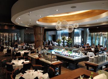
Fogo de Chão Brazilian Steakhouse
Experience authentic Brazilian cuisine at Fogo de Chão in Bellevue—where endless skewers meet exquisite flavors in an elegant setting.
-
National forest
Mt. Baker-Snoqualmie National Forest
Discover the breathtaking beauty of Mt. Baker-Snoqualmie National Forest – your ultimate outdoor adventure awaits in Washington's stunning landscapes.
-
Seafood
Pike Place Chowder
Discover award-winning chowders at Pike Place Chowder - A culinary highlight on Seattle's Waterfront.
-
Fast Food
Chick-fil-A
Experience the taste of Southern hospitality at Chick-fil-A Bellevue with delicious chicken sandwiches and friendly service.


Best bars in Northern Cascades
Evening life in Northern Cascades is generally low-key and concentrated in small towns rather than built around nightclubs. Winthrop, Twisp and Chelan have the broadest choice of bars, breweries, wine-tasting rooms, restaurants and occasional live-music settings, while western gateway communities offer traditional pubs and casual places to eat after a day outdoors. In agricultural areas east of the crest, wineries and tasting rooms provide a quieter evening option, often with views across orchards or dry valley landscapes. Rural inns and public houses remain important social venues, but opening patterns can be seasonal and earlier than international visitors expect. Remote park and forest areas offer almost no organised nightlife, and Stehekin is oriented towards quiet evenings rather than entertainment districts. Plan transport responsibly, particularly on winding mountain roads, and check current local arrangements rather than expecting late-night services outside the principal towns.
-
Bar
Unicorn
Experience the whimsical charm of Unicorn, a vibrant bar in Capitol Hill, Seattle, serving imaginative cocktails and delicious American cuisine.
-
Casino
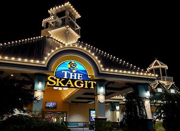
The Skagit Casino Resort
Discover the excitement of The Skagit Casino Resort, where gaming, dining, and entertainment unite in a breathtaking Washington setting.
-
Bar
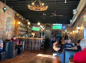
Train Wreck Bar & Grill
Discover the perfect blend of tasty cuisine and lively ambiance at Train Wreck Bar & Grill in Burlington, WA.
-
Pub
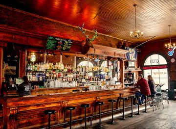
The Brick Saloon
Experience the heart of Roslyn at The Brick Saloon, where friendly service meets delicious food and drinks in a cozy pub atmosphere.

Best nightclubs in Northern Cascades
Evening life in Northern Cascades is generally low-key and concentrated in small towns rather than built around nightclubs. Winthrop, Twisp and Chelan have the broadest choice of bars, breweries, wine-tasting rooms, restaurants and occasional live-music settings, while western gateway communities offer traditional pubs and casual places to eat after a day outdoors. In agricultural areas east of the crest, wineries and tasting rooms provide a quieter evening option, often with views across orchards or dry valley landscapes. Rural inns and public houses remain important social venues, but opening patterns can be seasonal and earlier than international visitors expect. Remote park and forest areas offer almost no organised nightlife, and Stehekin is oriented towards quiet evenings rather than entertainment districts. Plan transport responsibly, particularly on winding mountain roads, and check current local arrangements rather than expecting late-night services outside the principal towns.
-
Lounge
Monkey Loft
Discover Seattle's nightlife at Monkey Loft, where eclectic vibes meet innovative cocktails and exceptional music in a stylish lounge setting.
-
Night club
Sarajevo Nightclub
Immerse yourself in Seattle's nightlife at Sarajevo Nightclub, where dance, music, and an electrifying atmosphere meet in perfect harmony.
-
Night club
Trinity
Explore Trinity Nightclub in Seattle for an electrifying nightlife experience filled with music, dance, and vibrant energy.
-
Bar
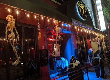
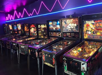
Crave 80s Arcade Bar
Experience the thrill of nostalgia at Crave 80s Arcade Bar, where vintage gaming meets karaoke magic in a vibrant atmosphere.


Best shops in Northern Cascades
Shopping in Northern Cascades is centred on small market towns, local produce and practical outdoor supplies rather than large retail districts. Winthrop's wooden-fronted streets contain independent shops selling crafts, books, clothing, gifts and equipment suited to a western-themed town, while Twisp has galleries, artisan work and locally produced goods. Chelan combines visitor-oriented shops with food and drink associated with the surrounding orchards and vineyards. Farm stands, produce shops and seasonal markets are useful places to look for apples, cherries, preserves, honey, wine and other products from the drier valleys, although exact availability changes through the year. In western gateway communities, independent stores and outdoor retailers are often more useful than souvenir shopping, particularly before entering the mountains. Choose locally made crafts where provenance is clear, and do not buy archaeological objects, protected natural materials or items presented as Indigenous art without checking their authenticity and respectful sourcing.
-
Grocery store
The Garden
Experience the local flavors of Stehekin at The Garden, a charming grocery store offering fresh produce and artisanal goods in a stunning natural setting.
-
Gift shop
Ville Maison
Explore Ville Maison, a charming gift shop in Agassiz, BC, for unique souvenirs and local artisan treasures that capture the essence of your travels.


Get your free copy of our complete guide to Northern Cascades, delivered straight to you.
Everything on this page, from attractions and restaurants to essentials and local phrases, in one PDF you can read offline, print or share.
Already have an account? Sign in
Your Northern Cascades guide is ready.
We'll send it to · Not you? Sign out

Getting your guide ready…
We are putting together a fresh copy of the Northern Cascades guide. This can take up to a minute.
This can take a few moments. If your browser asks, choose Allow so the download can start. You'll find the guide in your Downloads folder.
Nothing happened? Download it again
Sorry, the guide is taking longer than usual. Please try again in a minute, or get it by email instead.
Northern Cascades essentials
Currency and Payment
Safety
Emergency Situations
Do's and Don'ts
Local Tips
From Eve
Local phrases worth knowing
You don't need to get them perfect. A few words go a long way, and locals appreciate the effort.
Basics
| English | Local | Say it |
|---|---|---|
| Hello | Hi | [hai] |
| Goodbye | See ya | [siː jə] |
| Yes | Yeah | [jɛə] |
| No | Nope | [noʊp] |
| Please/You're welcome | Sure thing | [ʃʊr θɪŋ] |
| Thank you | Thanks | [θæŋks] |
| Excuse me/Sorry | Oops | [uːps] |
| How are you? | How's it going? | [haʊz ɪt ˈɡoʊɪŋ] |
| Fine. And you? | Good. You? | [ɡʊd. juː?] |
| Do you speak English? | You speak English? | [juː spiːk ˈɪŋɡlɪʃ?] |
| I don't understand | I don’t get it | [aɪ doʊnt ɡɛt ɪt] |
Eating & Drinking
| English | Local | Say it |
|---|---|---|
| I'd like to see the menu, please | Can I see the menu? | [kæn aɪ siː ðə ˈmɛnjuː?] |
| I don't eat meat | I’m vegetarian | [aɪm ˌvɛdʒɪˈtɛəriən] |
| Cheers! | Cheers! | [ʧɪrz] |
| I would like to pay, please | Can I get the check? | [kæn aɪ ɡɛt ðə ʧɛk?] |
Emergencies
| English | Local | Say it |
|---|---|---|
| Help! | Help! | [hɛlp] |
| Go away! | Leave me alone! | [liːv mi əˈloʊn] |
| Call the Police! | Call 911! | [kɔl naɪn wʌn wʌn] |
| Call a doctor! | Get a doctor! | [ɡɛt ə ˈdɑktər] |
| I'm lost | I’m lost | [aɪm lɔst] |
| I'm ill | I’m not feeling well | [aɪm nɑt ˈfiːlɪŋ wɛl] |
Shopping
| English | Local | Say it |
|---|---|---|
| I'd like to buy... | I want to buy... | [aɪ wɑnt tə baɪ...] |
| I'm just looking | Just browsing | [dʒʌst ˈbraʊzɪŋ] |
| How much is it? | What’s the price? | [wʌt's ðə praɪs?] |
| That's too expensive | That's pricey | [ðæts ˈpraɪsi] |
| Can you lower the price? | Can you do a better price? | [kæn juː duː ə ˈbɛtər praɪs?] |
Time & Numbers
| English | Local | Say it |
|---|---|---|
| What time is it? | What time? | [wʌt taɪm?] |
| It's one o'clock | It's one | [ɪts wʌn] |
| Half past (10) | Half past ten | [hæf pæst tɛn] |
| Morning | Morning | [ˈmɔrnɪŋ] |
| Afternoon | Afternoon | [ˌæftərˈnun] |
| Evening | Evening | [ˈiːvnɪŋ] |
| Yesterday | Yesterday | [ˈjɛstərdeɪ] |
| Today | Today | [təˈdeɪ] |
| Tomorrow | Tomorrow | [təˈmɔroʊ] |
| 1 | One | [wʌn] |
| 2 | Two | [tuː] |
| 3 | Three | [θriː] |
| 4 | Four | [fɔr] |
| 5 | Five | [faɪv] |
| 6 | Six | [sɪks] |
| 7 | Seven | [ˈsɛvən] |
| 8 | Eight | [eɪt] |
| 9 | Nine | [naɪn] |
| 10 | Ten | [tɛn] |
Transport & Directions
| English | Local | Say it |
|---|---|---|
| Where's a/the...? | Where's the...? | [wɛrz ðə...?] |
| What's the address? | What's the address? | [wʌts ði əˈdrɛs?] |
| Can you show me (on the map)? | Can you point it out? | [kæn juː pɔɪnt ɪt aʊt?] |
| When's the next (bus)? | When's the next bus? | [wɛn'z ðə nɛkst bʌs?] |
| A ticket (to ....) | A ticket to... | [ə ˈtɪkɪt tə...] |
History of Northern Cascades
Indigenous Homelands and Mountain Trade
The Northern Cascades are within the traditional homelands and travel networks of Indigenous peoples including Coast Salish communities west of the crest and Okanagan, Nlaka'pamux and other peoples connected with the interior valleys. Rivers, passes and lakes supported seasonal movement, fishing, hunting, gathering and exchange long before American settlement. The mountains were not an impassable barrier but part of a linked cultural and economic landscape. Today, Indigenous nations remain present in the wider region, and visitors should approach archaeological areas, cultural sites and natural resources with respect rather than treating them solely as scenery.
Exploration, Mapping and the Fur Trade Era
Non-Indigenous American and European exploration intensified in the nineteenth century as traders, surveyors and military expeditions sought routes through the rugged Cascades. The Skagit, Methow and Okanogan valleys became better known to outsiders through river travel, crossing attempts and mapping, although difficult terrain limited permanent settlement. Names imposed on peaks, passes and waterways during this period coexist with older Indigenous associations and should not be mistaken for the beginning of the region's history. Trails and river corridors later used by miners, packers and road builders often followed routes long familiar to Indigenous travellers.
Mining and Settlement in the Nineteenth Century
Gold, silver, copper and other mineral discoveries drew prospectors into the mountains during the late nineteenth and early twentieth centuries. Mining camps and small settlements appeared in valleys such as the upper Skagit and around the Methow, while difficult transport kept many ventures short-lived. The industry left adits, roads, cabins and altered landscapes, although much of the region never developed into a large mining district. Towns east of the crest also grew through ranching, orchard agriculture, timber work and trade, creating the contrasting settlement pattern of compact communities separated by extensive public land.
Railways, Timber and Regional Commerce
Railway construction and improved roads connected the western lowlands with interior valleys and helped move timber, agricultural goods and people through the Cascades. The Great Northern Railway's route through the Cascade Tunnel, completed in 1929 near the present Stevens Pass corridor south of the central North Cascades, was important to the wider regional economy, while branch lines and roads served valleys such as the Skagit. Logging became a major twentieth-century activity, shaping employment and landscapes across western Washington. Many communities retain buildings, commercial forms and working traditions linked to this period.
Hydroelectric Development on the Skagit
The Skagit River became the site of major hydroelectric development during the twentieth century. Diablo Dam, completed in the 1930s, and Ross Dam, completed in the 1940s, created the reservoirs now known as Diablo Lake and Ross Lake; Gorge Dam forms the lowest lake in the system. The projects generated electricity for the Seattle area and transformed river valleys, transport routes and local landscapes. Their construction history is visible in dams, power facilities, worker settlements and the North Cascades Highway, while debates over conservation helped shape later protection of surrounding wilderness.
National Park and Wilderness Conservation
North Cascades National Park was established in 1968, alongside related national recreation areas and wilderness protections, after decades of argument over the future of the region's forests, peaks and rivers. The designation preserved a large alpine landscape containing glaciers, old-growth forest and high mountain watersheds, while allowing established roads and reservoirs to remain in important corridors. Conservation of the North Cascades formed part of a broader American movement to protect public lands, but management continues to balance recreation, ecological change, wildfire, climate pressures and the interests of neighbouring communities.
Tourism and the Modern Mountain Economy
Improved roads, the completion of Washington State Route 20 across the Cascades in 1972, and growing interest in hiking, climbing, paddling and scenic travel made the region more accessible without removing its logistical challenges. Winthrop developed a carefully maintained western-themed commercial identity, while Chelan and Methow Valley communities combined recreation with agriculture and local services. Tourism now supports many businesses, but forestry, farming, public-sector work and hydroelectric power remain part of the regional economy. The modern visitor landscape is therefore a mixture of protected wilderness, working valleys and small communities.
Northern Cascades in Photos
Browse through our photo collection highlighting the charm and character of the destination.
Neighbouring regions of Northern Cascades
The closest regions to Northern Cascades, if you have time for more than one.
-

-
-

-
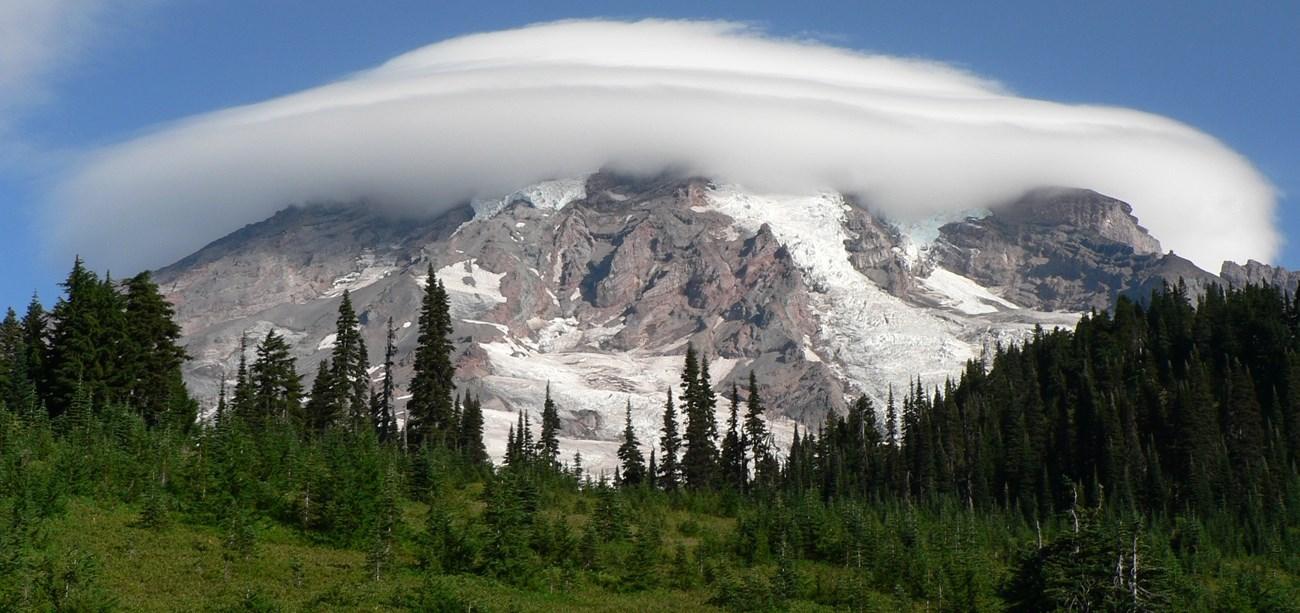 Central Washington
Explore Central Washington for mountain towns, orchard valleys, Columbia Plateau landscapes, river recreation, wine and farm-to-table flavours.
-


Swipe for more regions
Explore more

Explore more of Washington
Explore Washington State: From the vibrant streets of Seattle to the tranquil beauty of the Olympic Peninsula, discover the diverse landscapes, culture, and adventures awaiting you.
Explore Washington