

Cahokia Mounds State Historic Site Travel Guide - Free Web & App
Your ultimate guide to Cahokia Mounds State Historic Site. Discover top landmarks, proposed trips, and local tips. Free on the web or via the Evendo companion app.


Cahokia Mounds in Illinois reveals America’s largest pre-Columbian city through ancient earthworks, reconstructed Woodhenge, archaeology and St Louis-area heritage.
A Monumental Mississippi Landscape
Cahokia Mounds State Historic Site occupies about 2,200 acres on the American Bottom, the broad, fertile floodplain east of the Mississippi River in southwestern Illinois. Across the river lies St Louis, Missouri, but Cahokia belongs to the Illinois landscape: a place of immense earthen platforms, open grassland, wooded edges and long views across a region shaped by the Mississippi and its tributaries. More than 70 surviving mounds mark the remains of the largest known pre-Columbian settlement in North America north of Mexico.Read more about Cahokia Mounds State Historic Site
The Centre of Mississippian Cahokia
Exploring the Site
When is the best time to visit Cahokia Mounds State Historic Site?
Best: May, September–October · 20–27°C| Month | High (°C) | Rainfall (mm) |
|---|---|---|
| January | 4 | 51 |
| February | 6 | 55 |
| March | 13 | 71 |
| April | 20 | 94 |
| May (best) | 25 | 109 |
| June | 31 | 99 |
| July | 33 | 98 |
| August | 32 | 90 |
| September (best) | 27 | 84 |
| October (best) | 20 | 82 |
| November | 13 | 74 |
| December | 6 | 63 |
Getting to and around Cahokia Mounds State Historic Site
How to get there
Transportation
Best attractions in Cahokia Mounds State Historic Site
Cahokia’s principal attraction is the surviving earthwork landscape, where walking routes lead through the Grand Plaza and towards Monks Mound, the enormous platform mound that dominates the site. A climb to its accessible summit provides a useful view across the American Bottom, although visitors should follow current route guidance and expect steps. Reconstructed sections of the palisade show how parts of the central precinct may have been enclosed, while Woodhenge illustrates the site’s knowledge of solar alignments and ceremonial planning. Lesser mounds, former borrow pits and open archaeological fields add context to the better-known monuments, revealing how extensive the settlement once was. Interpretive displays and archaeology help explain Mississippian agriculture, trade, social organisation and religious life. Cahokia is also valuable as a landscape experience: the broad grasslands and distant metropolitan skyline make the contrast between an ancient Indigenous centre and the modern St Louis region especially apparent.
-
Archaeological museum
Cahokia Mounds Museum Society
Explore Cahokia Mounds: A UNESCO World Heritage site showcasing the incredible legacy of the ancient Mississippian culture through impressive earthworks and artifacts.
-
Historical landmark
Woodhenge
Explore Woodhenge in Fairmont City, Illinois - an ancient solar calendar and historical landmark that connects you to America's prehistoric cultures.
-
Historical landmark
Monks Mound
Explore Monks Mound, a monumental historical landmark showcasing the ancient Cahokian civilization and its breathtaking earthworks.
-
Tourist attraction
Navel of Mother Earth
Explore the Navel of Mother Earth in Fairmont City, Illinois: A captivating tourist attraction celebrating cultural significance and natural beauty.


Best landmarks in Cahokia Mounds State Historic Site
Monks Mound is Cahokia’s defining landmark and the largest prehistoric earthen monument in the Americas north of Mexico, a stepped platform built in successive stages for important structures that have not survived. Beside it, the Grand Plaza demonstrates the scale of the planned ceremonial centre and the extent of the labour invested in reshaping the floodplain. Woodhenge is represented by reconstructed timber posts marking a solar-oriented circle, while the reconstructed palisade conveys the organisation of the central precinct. Other surviving mounds, including burial and platform earthworks, are significant as parts of a connected cultural landscape rather than isolated hills. Together these landmarks document Mississippian engineering, ceremony, authority and settlement planning. Their significance is amplified by the setting: ancient monuments occupy the same American Bottom landscape that still links the Mississippi River, Illinois communities and the modern St Louis metropolitan area.
-
Archaeological museum
Cahokia Mounds Museum Society
Explore the rich history of Cahokia Mounds, a UNESCO World Heritage Site showcasing ancient Native American civilization and impressive earthworks.
-
Historical landmark
Woodhenge
Explore Woodhenge, the ancient solar calendar of Cahokia Mounds, where history merges with the beauty of nature in Illinois.
-
Historical landmark
Monks Mound
Explore Monks Mound, a UNESCO World Heritage Site showcasing the ancient Cahokia civilization in Collinsville, Illinois, and experience breathtaking views.
-
Historical landmark
Cahokia mounds
Explore the ancient wonders of Cahokia Mounds, a UNESCO World Heritage site revealing the mysterious lives of North America's Mississippian culture.


Explore Cahokia Mounds State Historic Site on the map
Plan your trip on one map. See where the top attractions, landmarks, restaurants and hotels are, and book hotels and experiences in a few clicks.
Best hotels in Cahokia Mounds State Historic Site
Best restaurants in Cahokia Mounds State Historic Site
Cahokia Mounds itself is primarily an archaeological and outdoor destination rather than a dining district, so visitors should plan meals in nearby Collinsville or elsewhere in the Metro East, with St Louis offering the widest range across the Mississippi. Regional food reflects the meeting of Midwestern, Southern and river-valley traditions, including barbecue, fried chicken, burgers, farm produce and dishes associated with the area’s broader German-American and African-American culinary histories. Collinsville is also associated with its long-standing horseradish-growing industry, a local agricultural speciality that appears in regional food culture. Casual restaurants, cafés, bakeries and pubs are concentrated in surrounding communities rather than beside every mound. Carrying water and a snack is sensible for a walking visit, while visitors seeking a more extensive meal can use the site as part of a wider St Louis-area itinerary.
-
Grill
The Bar & Grill Formerly known as Steffi's
Experience authentic American grill cuisine at The Bar & Grill Formerly Known as Steffi's in Collinsville – where flavor meets fun!

Best bars in Cahokia Mounds State Historic Site
Evening entertainment is limited immediately around Cahokia Mounds because the site is a protected archaeological landscape that closes outside visitor-use periods and is not surrounded by a nightlife quarter. Collinsville and nearby Metro East communities provide local bars, pubs and casual evening venues, though the atmosphere is generally suburban and community-focused rather than club-oriented. Across the Mississippi, St Louis offers the region’s broadest choice of live music, theatres, breweries, cocktail bars and late-night entertainment, but these venues are outside the historic site and require separate transport planning. A quieter evening may suit visitors staying nearby, particularly after spending daylight hours walking the earthworks. Check current venue information before making plans, as performances and operating patterns vary.
-
Grill
The Bar & Grill Formerly known as Steffi's
Discover the inviting atmosphere and scrumptious grilled fare at The Bar & Grill Formerly Known as Steffi's, a highlight in Collinsville, Illinois.
-
Grill
Trackside Bar & Grill
Discover the vibrant flavors of Trackside Bar & Grill in Collinsville, where delicious food and a lively atmosphere await every visitor.


Best shops in Cahokia Mounds State Historic Site
Shopping at Cahokia Mounds is limited and should not be the main purpose of a visit. Any available interpretive or educational retail should be confirmed before travelling, while more dependable everyday shopping is found in Collinsville and other nearby Metro East communities. Visitors may find regional food products, books on Indigenous history and archaeology, locally made crafts and general outdoor supplies in the wider area, but these should not be assumed to be available at the site. Collinsville’s association with horseradish cultivation gives the town a distinctive local-product connection, although retail stock varies. St Louis, across the river, provides a much wider selection of independent shops, galleries, markets and specialist retailers. Purchases connected with Cahokia should be approached respectfully, avoiding objects presented as archaeological artefacts or Indigenous cultural items without clear, ethical provenance.
-
Historical landmark
Cahokia Mounds State Historic Site
Discover the ancient city of Cahokia Mounds, a UNESCO World Heritage site showcasing remarkable earthen structures and rich cultural history.
-
Grocery store
Tienda El Maguey
Experience authentic Mexican flavors and high-quality meat products at Tienda El Maguey, a culinary gem in Collinsville.
-
Western apparel store
Sanchez & Sons Western Wear
Discover authentic Western apparel and unique cowboy gear at Sanchez & Sons Western Wear, your go-to destination in Collinsville, Illinois.
-
Historical landmark
Woodhenge
Explore the ancient wonders of Woodhenge, a historical landmark revealing Cahokia's rich cultural and astronomical heritage in Illinois.


Get your free copy of our complete guide to Cahokia Mounds State Historic Site, delivered straight to you.
Everything on this page, from attractions and restaurants to essentials and local phrases, in one PDF you can read offline, print or share.
Already have an account? Sign in
Your Cahokia Mounds State Historic Site guide is ready.
We'll send it to · Not you? Sign out

Getting your guide ready…
We are putting together a fresh copy of the Cahokia Mounds State Historic Site guide. This can take up to a minute.
This can take a few moments. If your browser asks, choose Allow so the download can start. You'll find the guide in your Downloads folder.
Nothing happened? Download it again
Sorry, the guide is taking longer than usual. Please try again in a minute, or get it by email instead.
Cahokia Mounds State Historic Site essentials
Currency and Payment
Safety
Emergency Situations
Do's and Don'ts
Local Tips
From Eve
Local phrases worth knowing
You don't need to get them perfect. A few words go a long way, and locals appreciate the effort.
Basics
| English | Local | Say it |
|---|---|---|
| Hello | Hau | [how] |
| Goodbye | Kwah-kwah | [kwah-kwah] |
| Yes | Eeyo | [ee-yo] |
| No | Nee | [nee] |
| Please/You're welcome | Miyo | [mee-yo] |
| Thank you | Eeh-see | [ee-see] |
| Excuse me/Sorry | Kwee-seet | [kwee-seet] |
| How are you? | Tee-ka-kwee? | [tee-ka-kwee] |
| Fine. And you? | Tee-wah. Noo shay? | [tee-wah. noo shay] |
| Do you speak English? | Wee-see tah-ka English? | [wee-see tah-ka English] |
| I don't understand | Kwah-kee tah-ka | [kwah-kee tah-ka] |
Eating & Drinking
| English | Local | Say it |
|---|---|---|
| I'd like to see the menu, please | Miyo-wee-see tah-ka menu, hau | [mee-yo-wee-see tah-ka menu, how] |
| I don't eat meat | Kwah-kee tah-ka meat | [kwah-kee tah-ka meat] |
| Cheers! | Oo-sa | [oo-sa] |
| I would like to pay, please | Miyo-wee-see tah-ka pay, hau | [mee-yo-wee-see tah-ka pay, how] |
Emergencies
| English | Local | Say it |
|---|---|---|
| Help! | Oo-ho | [oo-ho] |
| Go away! | Tee-kwee-sa | [tee-kwee-sa] |
| Call the Police! | Wee-see tah-ka Police! | [wee-see tah-ka Police] |
| Call a doctor! | Wee-see tah-ka doctor! | [wee-see tah-ka doctor] |
| I'm lost | Kwah-kee tah-ka wah-kwah | [kwah-kee tah-ka wah-kwah] |
| I'm ill | Kwah-kee tah-ka kwee-see | [kwah-kee tah-ka kwee-see] |
Shopping
| English | Local | Say it |
|---|---|---|
| I'd like to buy... | Miyo-wee-see tah-ka buy... | [mee-yo-wee-see tah-ka buy...] |
| I'm just looking | Kwah-kee tah-ka kwee-see | [kwah-kee tah-ka kwee-see] |
| How much is it? | Tee-kwee tah-ka | [tee-kwee tah-ka] |
| That's too expensive | Tah-kwee-sa wah-kwah | [tah-kwee-sa wah-kwah] |
| Can you lower the price? | Wee-see tah-ka-te-te | [wee-see tah-ka-te-te] |
Time & Numbers
| English | Local | Say it |
|---|---|---|
| What time is it? | Tee-kwee tah-ka time? | [tee-kwee tah-ka time] |
| It's one o'clock | Tah-kwee-sa wah-kah | [tah-kwee-sa wah-kah] |
| Half past (10) | Kwee-see tah-ka tah-kwee | [kwee-see tah-ka tah-kwee] |
| Morning | Wah-kwee | [wah-kwee] |
| Afternoon | Tah-kwee | [tah-kwee] |
| Evening | Oo-sa | [oo-sa] |
| Yesterday | Wah-kah-tee | [wah-kah-tee] |
| Today | Wah-kah | [wah-kah] |
| Tomorrow | Wee-see | [wee-see] |
| 1 | Wah-kah | [wah-kah] |
| 2 | Tah-kwee | [tah-kwee] |
| 3 | Tee-kah | [tee-kah] |
| 4 | Tah-kah | [tah-kah] |
| 5 | Wah-kwee | [wah-kwee] |
| 6 | Tah-wah | [tah-wah] |
| 7 | Tee-sa | [tee-sa] |
| 8 | Wah-see | [wah-see] |
| 9 | Tah-sa | [tah-sa] |
| 10 | Wah-ka | [wah-ka] |
Transport & Directions
| English | Local | Say it |
|---|---|---|
| Where's a/the...? | Tah-kwee tah-ka...? | [tah-kwee tah-ka] |
| What's the address? | Tee-kwee tah-ka address? | [tee-kwee tah-ka address] |
| Can you show me (on the map)? | Wee-see tah-ka kwee-see (on the map)? | [wee-see tah-ka kwee-see] |
| When's the next (bus)? | Tee-kwee tah-ka next (bus)? | [tee-kwee tah-ka next] |
| A ticket (to ....) | Tah-kwee-sa (to ....) | [tah-kwee-sa] |
History of Cahokia Mounds State Historic Site
The American Bottom Before Cahokia
Cahokia developed on the American Bottom, a Mississippi floodplain whose fertile soils, wetlands and waterways supported human settlement long before the great mound centre arose. The wider region contains evidence of earlier Indigenous occupations, although the earthworks visible today belong principally to the later Mississippian period. The landscape offered agricultural potential as well as access to river transport and resources from the surrounding uplands. Its position near the confluence of major waterways helped make the area a natural setting for a large and influential ceremonial and political centre.
The Rise of a Mississippian Centre
Cahokia expanded rapidly from around AD 900, during the period archaeologists associate with the emergence of Mississippian societies in the central Mississippi valley. Its inhabitants constructed mounds, plazas, borrow pits, houses and defensive or boundary features across a carefully organised settlement. Maize agriculture supported a substantial population, while craft production and exchange connected Cahokia with regions far beyond present-day Illinois. Religious and political authority were expressed through public architecture, burial practices and ceremonies conducted around the central plazas.
Monks Mound and the Planned City
At Cahokia’s height, the area around Monks Mound and the Grand Plaza formed the core of a densely organised urban and ceremonial landscape. Monks Mound was built in stages from transported earth and served as a platform for important structures, although the buildings that once stood on its summit have not survived. A large timber palisade enclosed parts of the central precinct, and Woodhenge circles marked solar alignments. These features demonstrate deliberate planning, monumental labour and a civic tradition unlike European urban models of the same era.
Transformation and Decline
Cahokia’s influence changed over several centuries rather than ending in a single known event. Population movement, political reorganisation, environmental pressures and the demands placed on the surrounding landscape may all have contributed to the settlement’s decline after about AD 1300. By approximately 1450, Cahokia no longer functioned as the major centre represented by its earlier earthworks. The reasons remain an important subject of archaeological study, and the absence of a complete written record means that interpretations must be based on material evidence and Indigenous historical perspectives.
Archaeology, Preservation and Recognition
European American settlement in the region later altered and damaged parts of the ancient landscape, but surviving mounds prompted increasing scholarly and public interest during the nineteenth and twentieth centuries. Archaeological investigation, state protection and reconstruction work helped preserve key features, including a section of palisade and Woodhenge. The site became Cahokia Mounds State Historic Site and was inscribed on the UNESCO World Heritage List in 1982. Modern interpretation increasingly emphasises Cahokia as an Indigenous achievement and encourages visitors to view the earthworks within their cultural and environmental context.
Cahokia Mounds State Historic Site in Photos
Browse through our photo collection highlighting the charm and character of the destination.
Neighbouring destination travel guides
The closest destinations to Cahokia Mounds State Historic Site, if you have time for more than one.
-

-

-

-
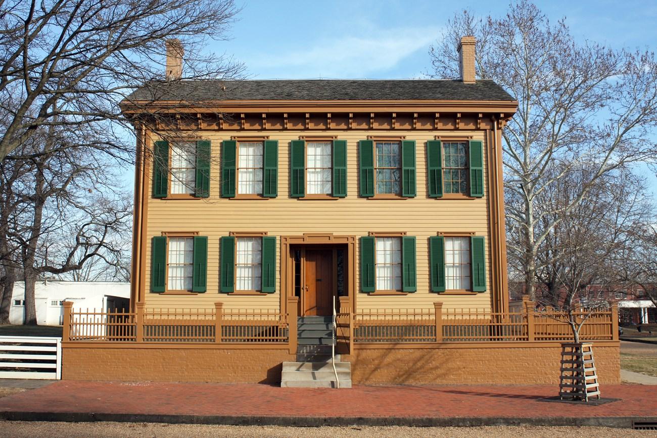 Lincoln Home National Historic Site
 in Illinois preserves Abraham Lincoln’s Springfield home, historic streets, presidential history and nearby museums.
-


Swipe for more destinations
Explore more

Explore more of Metro East
Explore Metro East Illinois for Cahokia Mounds, Mississippi River towns, historic Belleville, prairie parks and the industrial heritage of Greater St Louis.
Explore Metro East
Explore more of Illinois
Discover Illinois: From Chicago's iconic skyline to the tranquil beauty of its countryside, experience the diverse allure of the Prairie State.
Explore Illinois