

Pisgah National Forest Travel Guide - Free Web & App
Your ultimate guide to Pisgah National Forest. Discover top landmarks, proposed trips, and local tips. Free on the web or via the Evendo companion app.


Explore the unspoiled beauty of Pisgah National Forest in North Carolina, where outdoor adventure meets breathtaking landscapes and rich biodiversity.
Read more about Pisgah National Forest
When is the best time to visit Pisgah National Forest?
Best: April–May, September · 19–26°C| Month | High (°C) | Rainfall (mm) |
|---|---|---|
| January | 9 | 100 |
| February | 11 | 100 |
| March | 16 | 125 |
| April (best) | 19 | 100 |
| May (best) | 24 | 100 |
| June | 28 | 125 |
| July | 29 | 150 |
| August | 29 | 150 |
| September (best) | 26 | 125 |
| October | 19 | 100 |
| November | 14 | 100 |
| December | 9 | 100 |
Getting to and around Pisgah National Forest
How to get there
Transportation
Best attractions in Pisgah National Forest
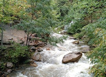
Pisgah National Forest in North Carolina offers a unique blend of natural beauty and historical significance, making it a must-visit destination for any traveler. From the towering peaks of the Blue Ridge Mountains to the serene waters of the Davidson River, visitors can explore a diverse range of landscapes and outdoor activities. Hike to the top of Looking Glass Rock for panoramic views, discover the ancient ruins of the Pink Beds, or cool off in the refreshing waters of Sliding Rock. History buffs will appreciate the chance to visit the Cradle of Forestry, the birthplace of modern forestry in America, and learn about the region's rich cultural heritage. With endless opportunities for adventure and exploration, Pisgah National Forest is sure to captivate visitors of all interests and backgrounds.
-
Tourist attraction
Biltmore
Experience the majestic Biltmore Estate, a historical landmark and museum nestled in the stunning Blue Ridge Mountains of North Carolina.
-
Tourist attraction
The North Carolina Arboretum
Discover the enchanting landscapes and vibrant gardens of The North Carolina Arboretum in Asheville, a haven for nature lovers and outdoor enthusiasts.
-
State park
Grandfather Mountain State Park
Explore the natural beauty of Grandfather Mountain State Park, home to breathtaking views, diverse wildlife, and endless outdoor adventures in North Carolina.
-
 State park
Mount Mitchell State Park
Experience the breathtaking views and diverse wildlife at Mount Mitchell State Park, the highest peak east of the Mississippi River.
Best landmarks in Pisgah National Forest
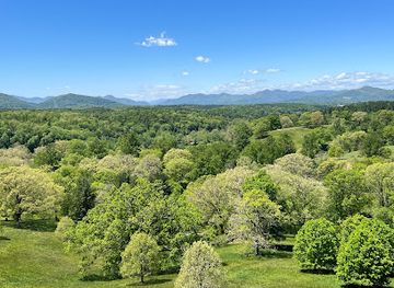
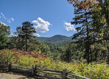
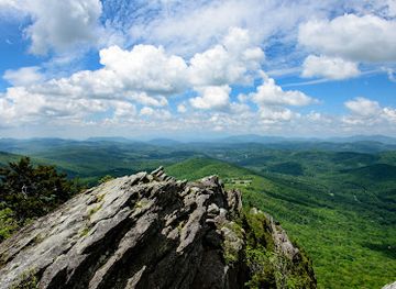
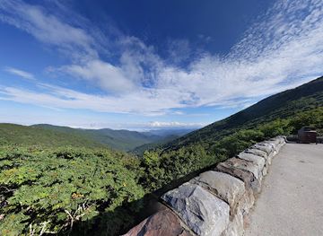
Pisgah National Forest in North Carolina offers visitors a diverse range of attractions, from towering waterfalls and lush forests to scenic mountain views and pristine rivers. Explore the famous Looking Glass Rock, a massive dome-shaped granite formation, or hike to the top of Mount Pisgah for breathtaking panoramic vistas. Discover the beauty of Sliding Rock, a natural waterslide perfect for cooling off on a hot day, or visit the Cradle of Forestry to learn about the history of conservation in the area. With endless opportunities for outdoor adventures and stunning natural beauty, Pisgah National Forest is a must-visit destination for nature lovers and outdoor enthusiasts.
-
State park
Mount Mitchell State Park
Discover the breathtaking beauty and outdoor adventures awaiting at Mount Mitchell State Park, the highest peak in the Eastern United States.
-
Hiking area
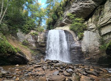
Looking Glass Falls
Experience the breathtaking beauty of Looking Glass Falls, a stunning waterfall in the Pisgah National Forest, perfect for hiking, photography, and family outings.
-
Tourist attraction
Linville Caverns, Inc
Discover the breathtaking beauty of Linville Caverns, an extraordinary underground wonder in North Carolina's Blue Ridge Mountains.
-
Visitor center
Craggy Gardens Visitor Center
Explore the enchanting Craggy Gardens Visitor Center, a gateway to the stunning landscapes and rich biodiversity of the Blue Ridge Parkway.
Explore Pisgah National Forest on the map
Plan your trip on one map. See where the top attractions, landmarks, restaurants and hotels are, and book hotels and experiences in a few clicks.
Best hotels in Pisgah National Forest
Best restaurants in Pisgah National Forest
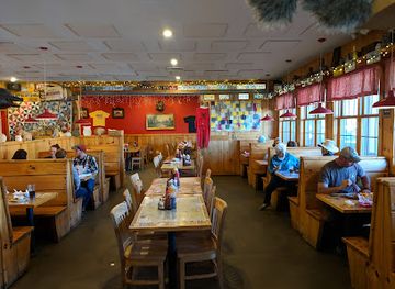
The dining scene in Pisgah National Forest offers a unique blend of local flavors and outdoor dining experiences. Visitors can enjoy farm-to-table restaurants serving fresh, seasonal ingredients sourced from nearby farms, as well as cozy cafes and diners offering classic comfort food. For those looking for a more adventurous dining experience, food trucks and pop-up restaurants can be found throughout the area, providing a taste of the local food scene in unexpected locations. Whether you're craving a hearty meal after a day of hiking or a leisurely brunch overlooking the mountains, Pisgah National Forest has something to satisfy every palate.
-
Barbecue
Hawg Wild Smokehouse & Taproom
Discover authentic Southern barbecue at Hawg Wild Smokehouse & Taproom in Pisgah Forest—where every bite tells a story of flavor and tradition.
-
Seafood
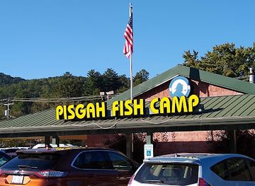
Pisgah Fish Camp
Discover fresh seafood delights at Pisgah Fish Camp nestled in scenic Pisgah Forest, perfect for nature lovers and food enthusiasts alike.
-
Restaurant
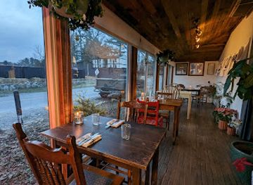
Bush Farmhouse
Discover the charm of Bush Farmhouse in Black Mountain—where rustic ambiance meets exceptional Southern cuisine.
-
Grill
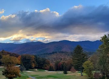
Hawtree's Pub and Grill
Experience delicious grill cuisine with stunning views at Hawtree's Pub and Grill in North Carolina.
Best bars in Pisgah National Forest
The nightlife scene in Pisgah National Forest offers a unique and laid-back experience for visitors looking to unwind after a day of outdoor adventures. From cozy mountain bars serving locally brewed craft beers to live music venues showcasing talented musicians, there is something for everyone to enjoy. Whether you prefer a relaxed evening by a bonfire under the stars or dancing the night away with new friends, Pisgah National Forest's nightlife scene is sure to leave you with unforgettable memories.
-
Bar
Off The Wagon Dueling Piano Bar Asheville
Discover the lively atmosphere of Off The Wagon Dueling Piano Bar in Asheville, where live music and fun collide for an unforgettable night out.
-
American
Stone Ridge Tavern
Discover the heart of American cuisine at Stone Ridge Tavern in Asheville, where local flavors meet friendly service in a charming atmosphere.
-
American
Trailhead Restaurant & Bar
Experience the best of American cuisine at Trailhead Restaurant & Bar in Black Mountain, where local flavors meet a cozy atmosphere.
-
Pub
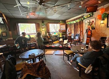
Jack of the Wood
Experience the best of Irish culture and craft beer at Jack of the Wood in Asheville, where live music and delicious cuisine await.


Best nightclubs in Pisgah National Forest
The nightlife scene in Pisgah National Forest offers a unique and laid-back experience for visitors looking to unwind after a day of outdoor adventures. From cozy mountain bars serving locally brewed craft beers to live music venues showcasing talented musicians, there is something for everyone to enjoy. Whether you prefer a relaxed evening by a bonfire under the stars or dancing the night away with new friends, Pisgah National Forest's nightlife scene is sure to leave you with unforgettable memories.
-
Bar
The Odd
Experience the vibrant nightlife at The Odd, Asheville's eclectic bar and live music venue offering delicious food and unforgettable performances.
-
Live Music
Silverados
Discover the pulse of Black Mountain at Silverados, your go-to destination for live music, karaoke, and a vibrant nightlife experience.
-
Bar
Sly Grog Lounge
Discover the vibrant atmosphere of Sly Grog Lounge, where vintage vibes meet live music and arcade fun in Asheville's River Arts District.
-
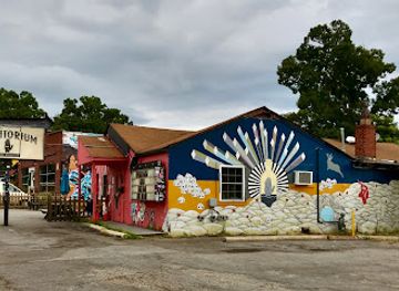
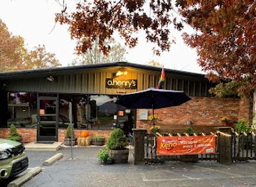
Bar
O. Henry's
O. Henry's: Asheville's vibrant gay bar and nightclub, offering unforgettable nights filled with karaoke, dancing, and a welcoming atmosphere.


Best shops in Pisgah National Forest
Immerse yourself in the unique shopping scene of Pisgah National Forest, where you can discover a treasure trove of locally made crafts, artisanal goods, and outdoor gear. From charming boutiques offering handmade jewelry and pottery to outdoor outfitters providing top-of-the-line equipment for your next adventure, there is something for every visitor to enjoy. Explore the quaint mountain towns surrounding the forest, where you can browse through antique shops, art galleries, and farmers markets, all showcasing the rich cultural heritage of the region. Take home a piece of Pisgah National Forest with you as a souvenir of your unforgettable journey.
-
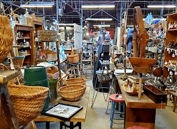
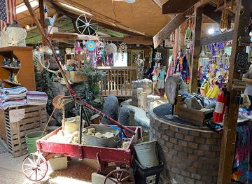
Antique store
Antique Tobacco Barn
Uncover a world of vintage treasures at the Antique Tobacco Barn in Asheville, NC – a paradise for antique enthusiasts and treasure hunters.
-
Gift shop
Elijah Mountain Gem Mine And Crystal Store
Explore the magical world of gemstones and crystals at Elijah Mountain Gem Mine, a family-friendly destination in Hendersonville, North Carolina.
-
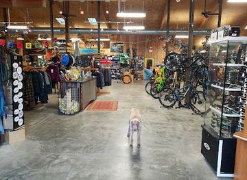
Bicycle Shop
The Hub and Pisgah Tavern
Explore Pisgah Forest with bike rentals, repairs, and enjoy local brews at The Hub and Pisgah Tavern, your outdoor adventure hub.
-
Gift shop
Pisgah Forest Gem Mine & Gifts
Uncover sparkling treasures and unique mountain crafts at Pisgah Forest Gem Mine & Gifts, a must-visit destination in Hendersonville, NC.

Get your free copy of our complete guide to Pisgah National Forest, delivered straight to you.
Everything on this page, from attractions and restaurants to essentials and local phrases, in one PDF you can read offline, print or share.
Already have an account? Sign in
Your Pisgah National Forest guide is ready.
We'll send it to · Not you? Sign out

Getting your guide ready…
We are putting together a fresh copy of the Pisgah National Forest guide. This can take up to a minute.
This can take a few moments. If your browser asks, choose Allow so the download can start. You'll find the guide in your Downloads folder.
Nothing happened? Download it again
Sorry, the guide is taking longer than usual. Please try again in a minute, or get it by email instead.
Pisgah National Forest essentials
Currency and Payment
Safety
Emergency Situations
Do's and Don'ts
Local Tips
From Eve
Local phrases worth knowing
You don't need to get them perfect. A few words go a long way, and locals appreciate the effort.
Basics
| English | Local | Say it |
|---|---|---|
| Hello | Howdy | [haw-dee] |
| Goodbye | See ya | [see ya] |
| Yes | Yessir | [yes-sir] |
| No | Nope | [nope] |
| Please/You're welcome | Please and thank you | [please and thank you] |
| Thank you | Much obliged | [much uh-blahy-jed] |
| Excuse me/Sorry | Pardon me | [pahr-dn me] |
| How are you? | How y'all doin'? | [how y'all doin'] |
| Fine. And you? | Good. How 'bout you? | [good. how 'bout you] |
| Do you speak English? | Y'all speak English? | [y'all speak english] |
| I don't understand | I reckon I don't follow ya | [I reckon I don't follow ya] |
Eating & Drinking
| English | Local | Say it |
|---|---|---|
| I'd like to see the menu, please | I'd like to check the grub options, please | [I'd like to check the grub options, please] |
| I don't eat meat | I don't eat critters | [I don't eat critters] |
| Cheers! | Bottoms up! | [bottoms up] |
| I would like to pay, please | I reckon I'll settle up, please | [I reckon I'll settle up, please] |
Emergencies
| English | Local | Say it |
|---|---|---|
| Help! | I need a hand! | [I need a hand] |
| Go away! | Git outta here! | [Git outta here] |
| Call the Police! | Ring up the Sheriff! | [Ring up the Sheriff] |
| Call a doctor! | Fetch the sawbones! | [Fetch the sawbones] |
| I'm lost | I'm turned around | [I'm turned around] |
| I'm ill | I'm feeling poorly | [I'm feeling poorly] |
Shopping
| English | Local | Say it |
|---|---|---|
| I'd like to buy... | I'm fixin' to purchase... | [I'm fixin' to purchase] |
| I'm just looking | I'm just browsin' | [I'm just browsin'] |
| How much is it? | What's the damage? | [What's the damage] |
| That's too expensive | That's mighty steep | [That's mighty steep] |
| Can you lower the price? | Can ya do better on the tag? | [Can ya do better on the tag] |
Time & Numbers
| English | Local | Say it |
|---|---|---|
| What time is it? | What's the time of day? | [What's the time of day] |
| It's one o'clock | It's one by the clock | [It's one by the clock] |
| Half past (10) | Half past ten | [Half past ten] |
| Morning | Mornin' | [Mornin'] |
| Afternoon | Afternoon | [Afternoon] |
| Evening | Evenin' | [Evenin'] |
| Yesterday | Yestiddy | [yestiddy] |
| Today | Today | [Today] |
| Tomorrow | Tomorry | [tomorry] |
| 1 | One | [One] |
| 2 | Two | [Two] |
| 3 | Three | [Three] |
| 4 | Four | [Four] |
| 5 | Five | [Five] |
| 6 | Six | [Six] |
| 7 | Seven | [Seven] |
| 8 | Eight | [Eight] |
| 9 | Nine | [Nine] |
| 10 | Ten | [Ten] |
Transport & Directions
| English | Local | Say it |
|---|---|---|
| Where's a/the...? | Where's the... | [Where's the...] |
| What's the address? | What's the holler? | [What's the holler] |
| Can you show me (on the map)? | Can you point it out (on the map)? | [Can you point it out (on the map)] |
| When's the next (bus)? | When's the next hauler? | [When's the next hauler] |
| A ticket (to ....) | A pass (to ....) | [A pass (to ....)] |
History of Pisgah National Forest
Cherokee Heritage
Long before European settlers arrived, the land that is now Pisgah National Forest was inhabited by the Cherokee people. The Cherokee utilized the forest for hunting, fishing, and gathering, and it played a significant role in their culture and daily life. The forest was part of their vast territory and held spiritual significance, with many trails and sacred sites scattered throughout the area.
The Pisgah Purchase
In the late 18th and early 19th centuries, European settlers began moving into the region, leading to the forced removal of the Cherokee people during the Trail of Tears in the 1830s. The land underwent significant changes as settlers established farms, logging operations, and small communities. By the mid-1800s, much of the forest had been heavily logged.
Establishment of Pisgah National Forest
Pisgah National Forest was established in 1916, making it one of the first national forests in the eastern United States. This was largely due to the efforts of George W. Vanderbilt, who owned the Biltmore Estate near Asheville. Vanderbilt hired Frederick Law Olmsted and Gifford Pinchot to manage his vast forest holdings, which later became part of the national forest. Pisgah National Forest was created to conserve the land and reforest areas that had been heavily logged.
The Cradle of Forestry in America
Pisgah National Forest is home to the Cradle of Forestry in America, the site of the first school of forestry in the United States. Established in 1898 by Carl A. Schenck, a German forester hired by George W. Vanderbilt, the Biltmore Forest School trained the first generation of American foresters. Today, the Cradle of Forestry is a historic site and educational center, offering exhibits and programs about the history of forestry and conservation.
Civilian Conservation Corps Contributions
During the Great Depression, the Civilian Conservation Corps (CCC) played a crucial role in developing Pisgah National Forest. From 1933 to 1942, the CCC built roads, trails, and recreational facilities, and undertook reforestation projects. Many of the structures and trails built by the CCC are still in use today, and their work helped shape the forest into a popular destination for outdoor enthusiasts.
The Blue Ridge Parkway
The Blue Ridge Parkway, a scenic highway that runs through Pisgah National Forest, was constructed between 1935 and 1987. It is one of the most visited units of the National Park System. The parkway offers stunning views of the Appalachian Mountains and provides access to numerous hiking trails, waterfalls, and overlooks within the forest. The construction of the Blue Ridge Parkway played a significant role in boosting tourism and accessibility to Pisgah National Forest.
Modern Conservation Efforts
In recent decades, conservation efforts have continued to play a key role in maintaining Pisgah National Forest's ecological health. Organizations like the Forest Service, local conservation groups, and volunteers work together to preserve the forest's biodiversity, protect water quality, and restore habitats. These efforts ensure that Pisgah National Forest remains a vital natural resource for future generations to enjoy.
Pisgah National Forest in Photos
Browse through our photo collection highlighting the charm and character of the destination.
Cities in Pisgah National Forest
The towns and cities of Pisgah National Forest, and the easiest places to base yourself.
-
 Asheville
Experience the enchanting blend of art, nature, and history in Asheville, North Carolina, nestled in the heart of the stunning Blue Ridge Mountains.
Asheville
Experience the enchanting blend of art, nature, and history in Asheville, North Carolina, nestled in the heart of the stunning Blue Ridge Mountains.
-
 Hendersonville
Discover Hendersonville, North Carolina: A charming small-town oasis offering rich history, stunning nature, and vibrant arts in the heart of the Blue Ridge Mountains.
Hendersonville
Discover Hendersonville, North Carolina: A charming small-town oasis offering rich history, stunning nature, and vibrant arts in the heart of the Blue Ridge Mountains.
Swipe for more cities
Neighbouring destination travel guides
The closest destinations to Pisgah National Forest, if you have time for more than one.
-
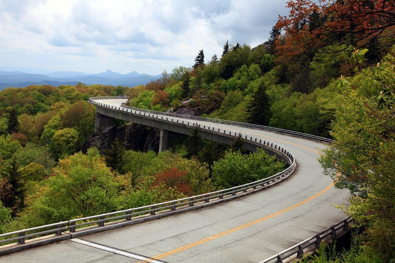 Blue Ridge Mountains
Explore the Blue Ridge Mountains in North Carolina: A haven for nature lovers with scenic drives, hiking trails, and vibrant mountain towns.
Blue Ridge Mountains
Explore the Blue Ridge Mountains in North Carolina: A haven for nature lovers with scenic drives, hiking trails, and vibrant mountain towns.
-
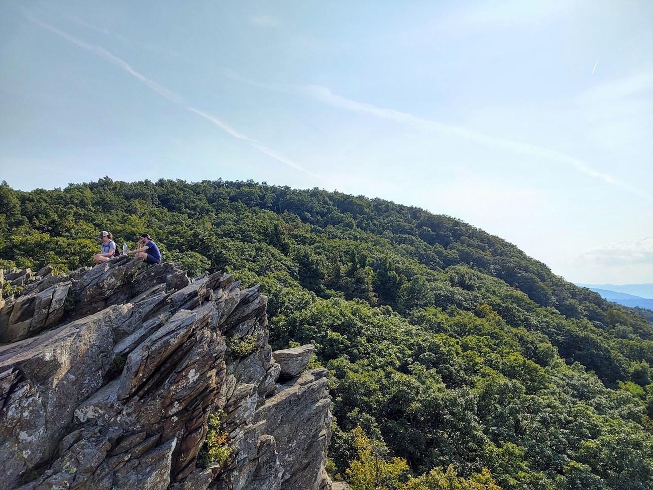 Blue Ridge Parkway
Explore the Blue Ridge Parkway in Virginia: a scenic drive filled with breathtaking views, historic sites, and vibrant autumn colors that captivate the soul.
Blue Ridge Parkway
Explore the Blue Ridge Parkway in Virginia: a scenic drive filled with breathtaking views, historic sites, and vibrant autumn colors that captivate the soul.
-
 Asheville Area
Discover Asheville: Where Vibrant Arts, Rich History, and Stunning Natural Beauty Come Together in the Heart of the Blue Ridge Mountains.
Asheville Area
Discover Asheville: Where Vibrant Arts, Rich History, and Stunning Natural Beauty Come Together in the Heart of the Blue Ridge Mountains.
-
 Grandfather Mountain
Explore the breathtaking landscapes of Grandfather Mountain, North Carolina's highest peak, and enjoy thrilling adventures, stunning views, and diverse wildlife.
Grandfather Mountain
Explore the breathtaking landscapes of Grandfather Mountain, North Carolina's highest peak, and enjoy thrilling adventures, stunning views, and diverse wildlife.
-
 Caesars Head State Park
Explore the natural beauty of Caesars Head State Park, where stunning views, diverse wildlife, and exhilarating hikes await in South Carolina’s Blue Ridge Escarpment.
Caesars Head State Park
Explore the natural beauty of Caesars Head State Park, where stunning views, diverse wildlife, and exhilarating hikes await in South Carolina’s Blue Ridge Escarpment.
Swipe for more destinations
Explore more
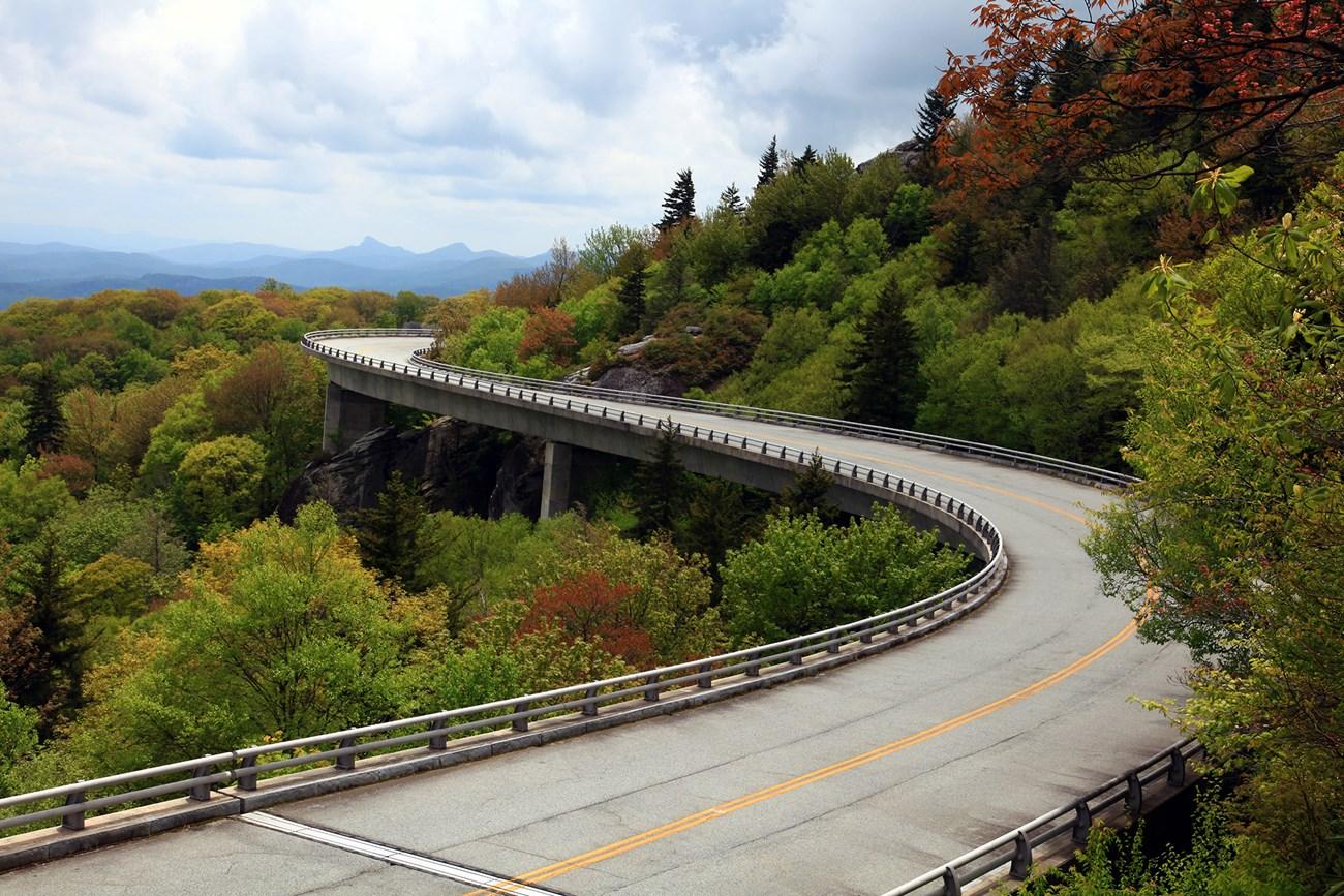
Explore more of Mountain Region
Discover the natural beauty and cultural richness of North Carolina's Mountain Region, home to scenic trails, historic sites, and the majestic Blue Ridge Parkway.
Explore Mountain Region
Explore more of North Carolina
Discover North Carolina's blend of natural beauty, vibrant cities, and rich history. From the Outer Banks to the Blue Ridge Mountains, experience diverse landscapes and cultures.
Explore North Carolina