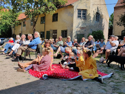
Historic Walk: Battle of Nyborg 1659
Follow a quiet countryside trail across the fields where, in 1659, Denmark’s fate was fought for in the bloody and decisive Battle of Nyborg.
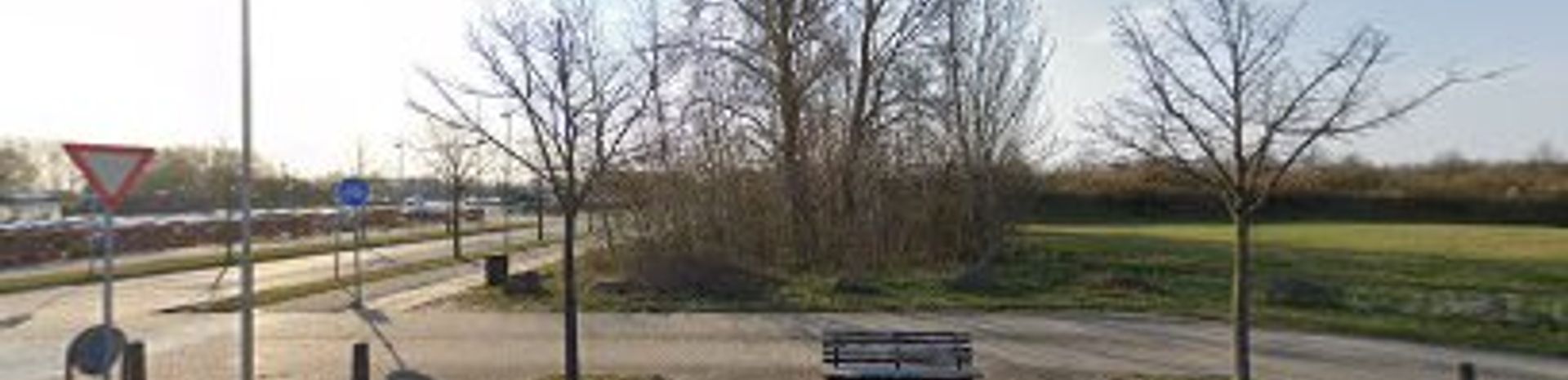
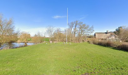
Starting near Banegårdsalleen on the edge of Nyborg, this historic hiking route follows in the footsteps of one of Denmark’s most decisive battles. Here, in November 1659, Danish and allied troops clashed with the Swedish army across fields, marshes and gentle slopes outside the fortified town. Today the landscape appears peaceful, but waypoints, views toward Hjulby Sø and Nyborg, and interpretive material bring to life the drama, strategy and human cost of the Battle of Nyborg.
A brief summary to Historiske Vandringer - Slaget ved Nyborg 1659
- Banegårdsalleen, Nyborg, 5800, DK
- Visit website
- Duration: 1 to 3 hours
- Free
-
 Outdoor
- Mobile reception: 4 out of 5
Local tips
- Wear waterproof footwear outside dry summer months; stretches of the route can be muddy, especially near low‑lying fields and drainage ditches.
- Bring water and snacks, as there are no cafés or shops directly on the battlefield; plan refreshment stops in central Nyborg before or after the walk.
- Carry a downloaded or printed battlefield map so you can match viewpoints with historical troop positions and phases of the battle.
- Check the weather forecast and avoid very windy or heavy‑rain days, when the exposed fields can feel harsh and visibility of landmarks is reduced.
- Combine the hike with a visit to Nyborg Castle and town centre to better understand the strategic importance of the 1659 battle.
For the on-the-go comforts that matter to you
- Trash Bins
- Information Boards
- Seating Areas
Getting There
-
Train and short walk from Odense
Take a regional train from Odense to Nyborg, a journey of around 20–30 minutes with departures typically at least twice an hour during the day. A standard adult single ticket usually costs about 40–70 DKK in second class. From Nyborg Station it is roughly a 15–25 minute walk on pavements and quiet streets to the Banegårdsalleen area where the battlefield route begins. The walk is mostly level and suitable for most visitors, but there are limited wayfinding signs specifically for the historic trail, so carrying a map or offline navigation is helpful.
-
Train from Copenhagen across the Great Belt
From Copenhagen Central Station, direct intercity and regional trains run to Nyborg in about 1 hour 20 minutes to 1 hour 45 minutes, crossing the Great Belt bridge. One‑way adult tickets generally range from about 160 to 280 DKK depending on train type and booking conditions. Trains run regularly throughout the day but can be busy at commuter times. On arrival in Nyborg, allow around 15–25 minutes on foot to reach the Banegårdsalleen starting area. The route from the station is paved and easy to follow, though not all crossings have lifts, so travellers with limited mobility should allow extra time.
-
Car from Odense via E20
Driving from Odense to Nyborg along the E20 motorway takes roughly 25–35 minutes in normal traffic. There is no road toll between the two towns when you do not cross the Great Belt bridge. In Nyborg, street parking is available in and around the station and nearby residential streets, often with time restrictions, so always check local signs. From typical parking areas near the station, you will need to walk 10–20 minutes to reach Banegårdsalleen and the battlefield paths. The approach roads are straightforward, but expect increased traffic around rush hours and holiday travel days.
-
Cycling from Nyborg town centre
From the historic centre of Nyborg, you can cycle to the Banegårdsalleen area and on toward the battlefield in about 10–15 minutes at a relaxed pace. The town and surrounding countryside are relatively flat, and there are designated cycle lanes or quiet streets for much of the way. Cycling is free, but bring lights and reflective gear if you plan to return in the dusk or dark, as some stretches are less illuminated. Near the battlefield, you may need to leave your bike and continue on foot along farm tracks where surfaces can be uneven or muddy after rain.
Historiske Vandringer - Slaget ved Nyborg 1659 location weather suitability
-
 Clear Skies
-
 Mild Temperatures
-
 Any Weather
-
 Windy Conditions
-
 Cold Weather
-
 Hot Weather
Discover more about Historiske Vandringer - Slaget ved Nyborg 1659
Where a Quiet Path Crosses a Violent Past
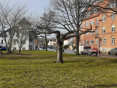
Beginning close to Banegårdsalleen on the western side of Nyborg, this historical hiking route leads you into the former battlefield where, on 14 November 1659, Danish and allied forces met the Swedish army in a decisive clash. The fields, hedgerows and low hills that now surround the town once rang with cannon fire and the thunder of cavalry. As you walk, the modern town recedes and you step into open countryside that still roughly follows the contours of the 17th‑century terrain. The route traces sections of the front between Hjulby Sø and the estates south and west of Nyborg. What appears today as a calm, cultivated landscape of crops, drainage ditches and farm tracks was once churned into mud by thousands of soldiers and horses. The contrast between the pastoral setting and the story it hides is one of the walk’s most powerful impressions.The Battle that Reshaped the Danish Realm
The Battle of Nyborg was the last major engagement of the Dano‑Swedish conflict of 1658–60, a war that threatened Denmark’s survival as an independent kingdom. On this ground, a combined Danish, Dutch, Brandenburg and Polish–Lithuanian force confronted a Swedish army entrenched outside the fortress town. For hours the battle swayed back and forth, with infantry lines advancing and breaking, artillery firing from prepared positions, and cavalry probing for the enemy’s weak points. A bold manoeuvre through the marshy areas near Hjulby Sø allowed Danish cavalry to strike the Swedish flank and rear, triggering a collapse that forced the Swedes back toward Nyborg’s walls. The following day, supported by a Dutch fleet landing troops near Knudshoved, the allies compelled the remaining Swedish forces to surrender. The victory helped secure a political settlement that kept Denmark on the map, even though earlier defeats had already cost it large eastern provinces.Reading the Landscape for Clues
Although no grand monument dominates the route, the landscape itself functions as a vast open‑air archive. Subtle rises mark former artillery positions that had clear lines of fire across the lower ground. Damp hollows and drainage channels hint at the marshes that once complicated troop movements. Where the path skirts views toward Hjulby Sø, it is easier to imagine the difficulty of moving cavalry across soft, waterlogged terrain under fire. Information boards and local research projects have mapped likely positions of units and reconstructed phases of the fighting. Knowing that thousands of men fell across these fields lends weight to every small depression and ridge. Seasonal changes add extra layers: mist in autumn can evoke the smoke and confusion of battle, while bright spring light highlights the openness of the ground the soldiers had to cross.Experiencing the Route on Foot
Today, the battlefield is explored at a walking pace along farm roads, paths and quiet edges of fields. The route is generally gentle, with only modest inclines, making it accessible to most walkers with basic fitness. Underfoot, expect a mixture of gravel, grass and occasionally muddy stretches after rain, which can echo the boggy conditions that shaped the original battle. Because much of the trail passes through open farmland, you are accompanied by the sounds of modern rural life: tractors in the distance, birds over hedgerows, the wind moving across wide, open expanses. There are limited formal facilities along the way, so walkers often plan their visit around time in central Nyborg, combining the battlefield with the town’s historic streets and fortress‑related sites.Connecting Nyborg’s Wider Story
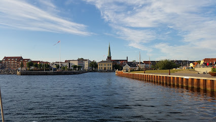
Walking this route also offers a different perspective on Nyborg itself. The town, once a fortified stronghold with a royal castle, formed the backdrop to the battle and the political changes that followed. The fields you cross were integral to its defence and to rival powers’ attempts to control the central Danish islands and the straits leading to the Baltic. Seen from the battlefield, Nyborg’s skyline appears modest, but its historical weight is considerable. By ending or beginning your walk near the town, you can link the open landscape to the castle area, town squares and later commemorations that keep the memory of 1659 alive. The route thus becomes not just a countryside hike, but a thread connecting military history, political transformation and the everyday lives that have continued here ever since.Iconic landmarks you can’t miss
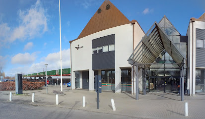
Nyborg St.
0.1 km
A historic rail gateway on Funen’s east coast, Nyborg Station links castle town charm with fast, modern connections across Denmark via the Great Belt.
Nyborg Vold
0.4 km
Stroll the grassy ramparts and mirror-still moats that once guarded Denmark’s medieval power center, now a peaceful green belt wrapping historic Nyborg.

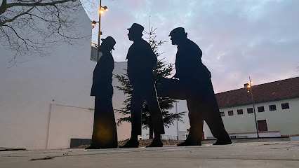
Erik Ballings Plads
0.6 km
Where Danish cinema's greatest visionary is celebrated through iconic characters and cultural memory.
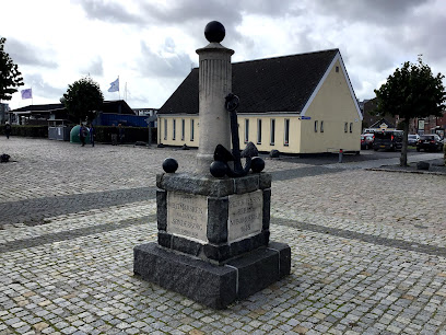
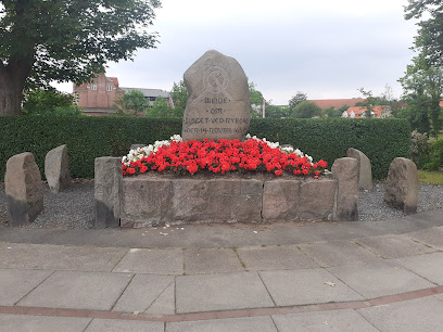
Mindesmærke for kaptajn Peter Bredal
0.7 km
A solemn memorial to a 17th-century Danish captain whose frozen fleet became legend.
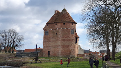
Nyborg Fortress
1.0 km
Medieval parliament seat where Danish kings shaped a nation's destiny and founded a Nordic empire.
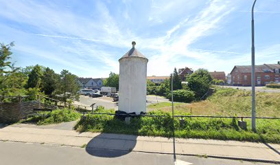
Den Hvide Jomfru
1.1 km
A modest white monument on Nyborg’s old fortress embankment, Den Hvide Jomfru blends legend, landscape and history into a quiet, atmospheric pause.
Befrielsessten i Vindinge
4.4 km
A modest village liberation stone in front of Vindinge Church, quietly commemorating Denmark’s 1945 freedom amid the calm of rural eastern Funen.
Befrielsessten i Skalkendrup
7.7 km
A quiet memorial to Denmark's liberation from Nazi occupation in 1945
Damestenen
14.9 km
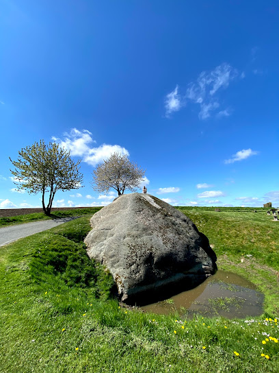
Denmark's colossal 1,200-tonne ice-age boulder, transported from Sweden 18,000 years ago.
Rolfshøj
15.7 km
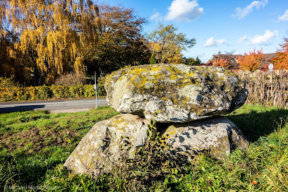
A quiet Neolithic long barrow in the fields near Ferritslev Fyn, where a simple stone chamber and grassy mound bring Funen’s prehistoric past close at hand.
Papirbåden | H.C. Andersen
27.5 km
A delicate paper boat turned gleaming sculpture, Papirbåden floats on Odense’s Fairytale Garden lake, quietly celebrating H.C. Andersen’s “Steadfast Tin Soldier.”

Carl Nielsen Museum
27.6 km
Discover the life and work of Carl Nielsen at this intimate Odense museum, where music, history, and Danish cultural heritage blend in interactive exhibits.
H. C. Andersens House
27.7 km
Explore the spellbinding H.C. Andersen’s House in Odense, where world-class storytelling, innovative design, and interactive exhibitions bring fairy tales to life.
Odense Cathedral - St. Canute's Church
27.7 km
A luminous Brick Gothic cathedral in central Odense, where Denmark’s last Viking king, royal tombs and a masterpiece altarpiece share a serene, living sacred space.

VILLE VAU
27.7 km
A world-class architectural landmark offering immersive exhibitions on Denmark’s maritime past and present, set in a dramatic underground dry dock by Kronborg Castle.

Unmissable attractions to see
Børge Jensens Plads
0.3 km
Experience the Befrielsessten in Sulkendrup: A serene memorial park honoring Denmark's World War II liberation amidst lush countryside.
Bastionen Nyborg
0.4 km
Nyborg's vibrant cultural hub hosting 35,000+ annual visitors and 200+ events.

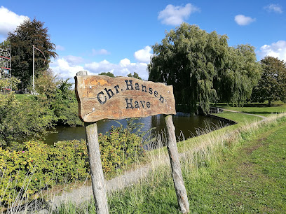
Chr. Hansens Have
0.5 km
A former pharmacist’s private refuge turned public pocket park, Christian Hansen’s Garden offers calm greenery, local history and a gentle pause on Nyborg’s Blue Clover Path.
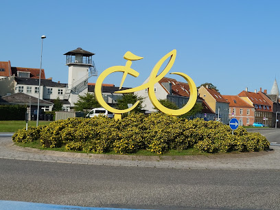
Tour de France-monument
0.5 km
Oversized yellow bike, big cycling memories: Nyborg’s open-air Tour de France Monument celebrates the 2022 stage finish on Funen’s windswept waterfront.
Church of Our Lady
0.6 km
Medieval red-brick landmark founded by Queen Margrete I, Nyborg’s Church of Our Lady blends royal history, Gothic architecture and living Lutheran tradition.
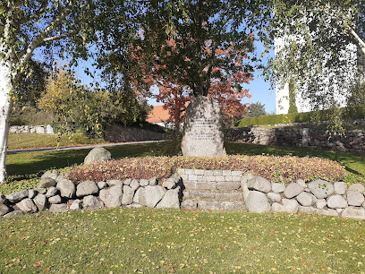
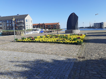
Mindesten for Slaget ved Nyborg 1659
0.7 km
A modest stone in a small green corner of Nyborg that quietly commemorates the brutal 1659 battle which helped secure Denmark’s survival as an independent kingdom.
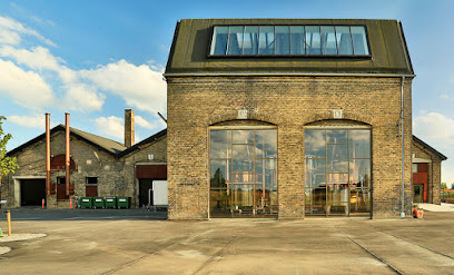
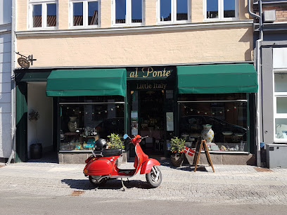
Nyborg Destilleri
0.7 km
Organic Danish whisky, gin and rum in a vast 1870s harbour workshop, blending industrial heritage, Nordic cuisine and hands-on distillery experiences.
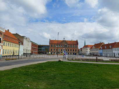
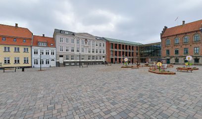
Nyborg torv
0.8 km
Experience Danish heritage and community on Nyborg’s historic main square, where medieval history meets the relaxed rhythm of modern market town life.
Mindesmærke for D-Dag
0.8 km
Compact yet powerful, Nyborg’s D‑Day Memorial quietly honours Danish war sailors and links a small coastal town to the vast drama of 6 June 1944.
Nyborg Lokalhistoriske Arkiv
0.8 km
Paper trails, photographs and quiet stories: Nyborg’s local history archive opens a focused window onto the town’s streets, families and everyday past.

Nyborg Voldspil
0.8 km
Denmark’s oldest open‑air theatre, staging big summer musicals on Nyborg’s historic ramparts beneath tall trees and long Nordic evening skies.

Nyborg Volde
0.8 km
Grassy fortress ramparts circling Nyborg’s old royal heart, now a leafy park of historic earthworks, castle views and relaxed walks above the town.

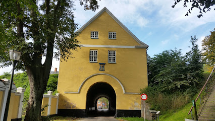
Landporten
0.8 km
Step through Nyborg’s historic land gate, once the town’s only entrance, and wander grassy ramparts where fortress walls meet tranquil park-like scenery.
Mads Lerches Gård
0.8 km
Step into an 18th-century merchant's home and discover the intimate world of prosperous Nyborg.

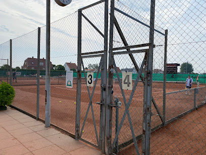
Nyborg Tennis Klub
0.9 km
Local seaside tennis club with clay courts, an all-year court and a friendly community feel in the coastal town of Nyborg.
Essential places to dine
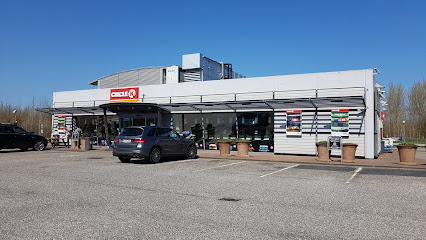
Circle K Nyborg Mango
0.5 km
Energetic roadside hub by Storebæltsvej in Nyborg, combining fuel, fast EV charging, hot food and coffee for drivers crossing Denmark east–west at all hours.
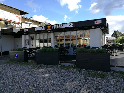
Nurs Burger & Steakhouse Restaurant
0.5 km
Harbour‑side burgers and steaks in the centre of Nyborg, pairing hearty plates with relaxed, modern interiors and views towards the boats and waterfront.
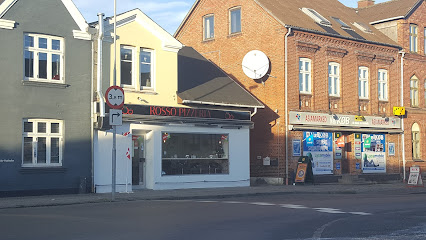
Rosso pizzaria
0.5 km
Crispy-based Italian pizzas with balanced toppings in casual Nyborg setting.
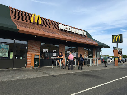
McDonald's Nyborg
0.5 km
Roadside McDonald’s by the Great Belt route, offering familiar fast food, long hours and easy access for drivers, families and travellers crossing Denmark.
Jimbo's Kaffebar
0.6 km
Cosy Nyborg kaffebar where well-made coffee, hearty panini and relaxed evening drinks meet in a warm, lived-in neighbourhood atmosphere.
Aiko Sushi
0.6 km
Intimate Japanese restaurant in Nyborg’s old town, serving carefully crafted sushi made with local Danish produce in a relaxed, modern setting.

Carl's Jr. Danmark
0.6 km
Flame‑grilled Californian‑style burgers, thick shakes and easygoing roadside convenience on the outskirts of Nyborg.

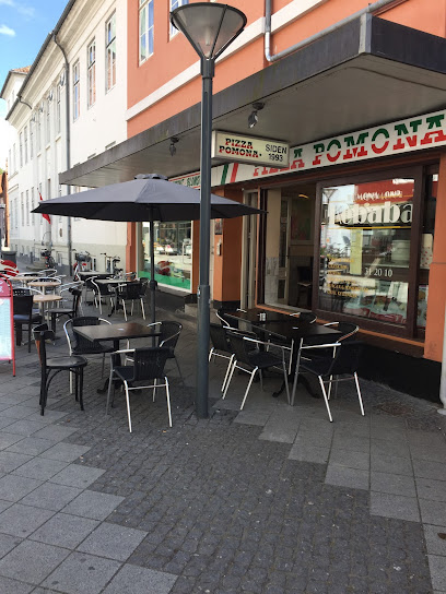
Pomona Pizza Nyborg
0.7 km
Thin-crust pizza, hearty kebab and easygoing vibes in a central Nyborg pizzeria that doubles as a convenient sit‑down spot and busy takeaway hub.
Roeds Brasserie
0.7 km
Refined bistro dining with impeccable service and curated wines in the heart of Nyborg.
Den Smalle Café
0.7 km
A petite Kongegade café turned catering hub, Den Smalle Café blends cozy Scandinavian charm with simple, wholesome food prepared in the heart of Nyborg.
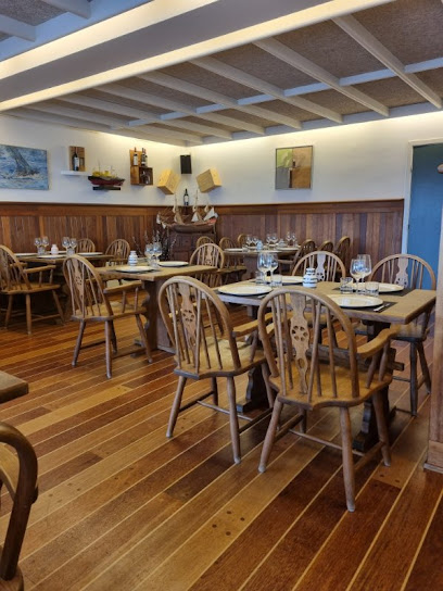
Restaurant Remisen
0.7 km
Contemporary Danish brasserie flavors, seasonal menus and local spirits meet waterfront light and coastal atmosphere at Nyborg’s Restaurant Remisen.

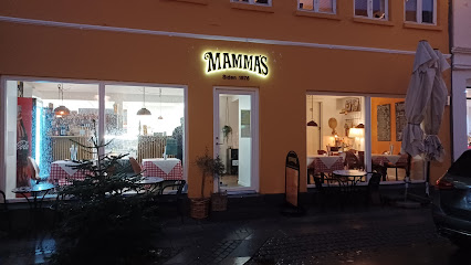
Mamma's Nyborg
0.7 km
Casual Italian pizzas, pasta and focaccia in Nyborg’s historic centre, offering a warm, family‑friendly evening stop for relaxed dine‑in meals or easy takeaway.
Central Cafeen
0.7 km
Historic Danish eatery in the heart of Nyborg, serving classic comfort dishes like smørrebrød and æggekage in cosy, unpretentious surroundings.

Rio Bravo
0.7 km
Discover the vibrant atmosphere at Rio Bravo Beer Hall in Nyborg—where good times and great brews come together!

King's Running Sushi & Wok
0.7 km
Casual all‑you‑can‑eat sushi and wok in the heart of Nyborg, mixing conveyor‑belt plates, tablet ordering and playful robot service in a lively setting.
Markets, malls and hidden boutiques
Lidl
0.5 km
Discount supermarket with quality groceries and everyday essentials in central Nyborg.
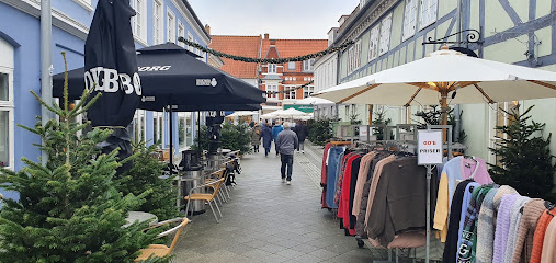
Gen&Brug Nyborg
0.5 km
Lively second-hand treasure trove in central Nyborg, where everyday bargains and characterful vintage finds meet a down-to-earth, reuse-first ethos.

Nyborg Paletten v/Jan Andersen
0.6 km
A cozy Nyborg art and secondhand shop where paints, paper, books and curious finds share shelves in a compact, creative corner on Nørregade.
Imerco
0.6 km
Central Danish homeware and kitchen store on Nyborg’s historic square, ideal for practical gear, Scandinavian design pieces and thoughtful gifts in one stop.
Intersport Nyborg
0.6 km
Nyborg's trusted sports retailer with expert service and complete outdoor gear selection.
Linn V/Tina Rasmussen
0.6 km
Intimate owner-run womenswear boutique in central Nyborg, offering classic Scandinavian style and personal service along cosy Mellemgade.
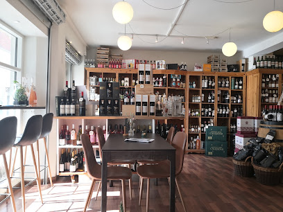
Vinspecialisten Nyborg
0.6 km
Atmospheric wine shop and cosy coffee & wine bar on Nyborg’s Nørregade, blending curated bottles, tastings and local charm in an intimate, owner-driven setting.
Pigernes Magasin
0.7 km
Intimate women’s fashion and lingerie boutique tucked above a central Nyborg street, blending personalised fittings with relaxed, small‑town Danish charm.
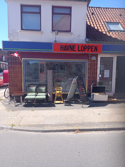
Havneloppen
0.7 km
Treasure-filled thrift market where community spirit meets sustainable shopping in Nyborg.
Tippy
0.7 km
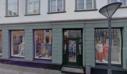
Contemporary women's fashion in the heart of historic Nyborg's charming medieval center.

Tinga Tango v/Anette Langholm
0.7 km
A cosy Nyborg design boutique blending Scandinavian home décor, colour and hygge across two light-filled shopfronts on lively Kongegade.
Uldbutikken Marcusholm
0.7 km
A small, personal yarn and craft shop in Nyborg’s historic centre, where warm wool, handmade ceramics and expert advice create a cosy creative retreat.
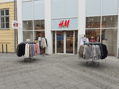
H&M
0.7 km
Compact high-street fashion hub in the heart of Nyborg, bringing everyday basics, family essentials and seasonal trends together on lively Nørregade.
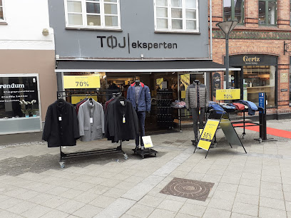
Tøjeksperten
0.7 km
Premium menswear specialist in Nyborg's heart, offering quality clothing with exceptional customer service and a generous 365-day return policy.
Helle Svansø
0.7 km
A cosy Nyborg specialty shop where Italian delicacies, handpicked wines and colourful ceramics come together in lovingly curated gift-worthy combinations.
Essential bars & hidden hideouts
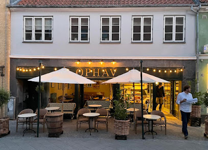
Ophav
0.6 km
Nyborg's refined casual dining hub blending bar, restaurant, and café culture with seasonal local cuisine.
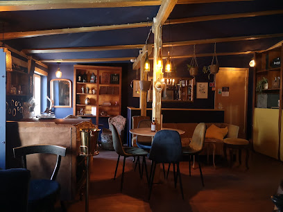
Laboratoriet Nyborg
0.6 km
Atmospheric wine bar and bottle shop in a historic 1824 apothecary laboratory, tucked in a Nyborg courtyard and serving carefully chosen wines, snacks and coffee.
Phønix I/S
0.7 km
Cozy, no-frills bar and burger spot in central Nyborg, serving cold beers, simple comfort food, and relaxed local nightlife just off the town’s historic streets.
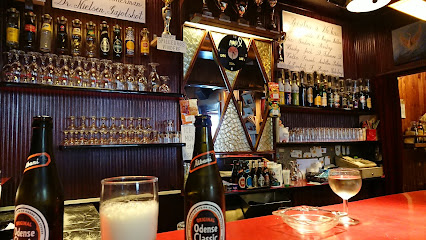
Chr. II's Pub
0.7 km
Casual Danish pub in Nyborg's historic centre, where locals gather for authentic neighbourhood hospitality.

Øksendrup Cider
0.7 km
Cosy Nyborg cider bar showcasing organic East Funen apples, slow‑fermented bottles and intimate tastings in the historic heart of Denmark’s former royal city.

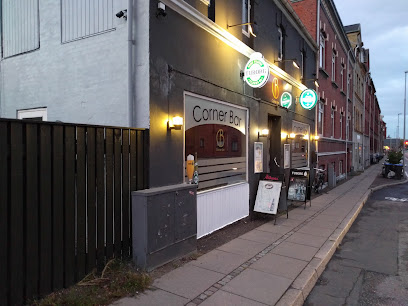
Corner Bar
1.0 km
Unpretentious neighborhood bar on Nyborg’s Strandvejen corner, serving cold drinks, easy conversation and a playful weekend wheel of fortune from late morning.
Terningen Henrik Skovlykke Vedel Hansen
20.4 km
Cozy neighborhood bar in Årslev with billiards, hearty Danish comfort food and a relaxed local atmosphere from late morning coffee to late-night beers.
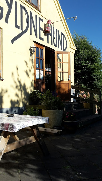
Den Gyldne Hund
20.7 km
Smoky, harbourfront pub in Lohals where locals, sailors and visitors share simple drinks, sea air and classic Danish værtshus atmosphere.
Marina's Sportslounge
20.8 km
Laid-back village sports bar in Tranekær, mixing live matches, simple small plates and a friendly Langeland local-pub feel.
Hjallese Puben
26.6 km
Vibrant neighborhood bar where Odense locals gather for music, drinks, and authentic Danish pub atmosphere.

Den Lille Kro Odense
27.0 km
A classic Odense brown bar with history in its walls, cold beer on tap and a warmly worn, neighborhood atmosphere that feels instantly familiar.
Vandpibe Cafe Odense - Casablanca lounge cafe
27.1 km
Cozy Odense shisha lounge blending Middle Eastern café culture with Danish hygge, soft music, and long, sociable evenings over fragrant hookah and drinks.
Den Standhaftige Tinsoldat Af Odense
27.4 km
A small, steadfast neighborhood beer bar in Odense C where inexpensive drinks, local regulars, and a laid-back dive-bar atmosphere tell their own quiet story.
The Flower and the Bee
27.4 km
Experience Odense's vibrant nightlife at The Flower and the Bee, a premier weekend dance bar offering quality cocktails and dynamic music in a lively atmosphere.

Rabalder Bar Odense
27.4 km
A small, homely Odense bar styled like grandma’s living room, serving easygoing drinks and sing‑along hits in the heart of the city’s weekend nightlife.
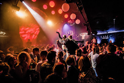
Nightclubs & after hour spots
KJ's bodel
0.8 km
Laid‑back local nightspot on Nyborg’s main square, mixing simple drinks, sociable bar chatter and a compact dance floor in an unpretentious setting.
Muzirkus
1.9 km
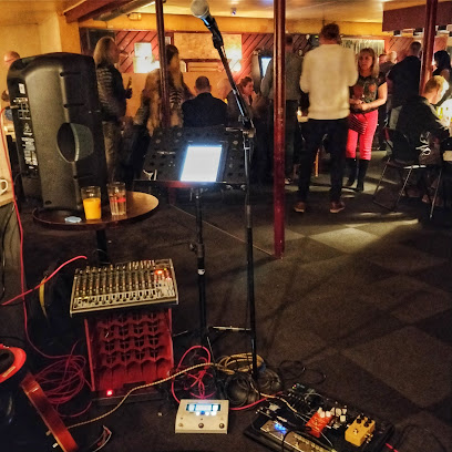
Nyborg's independent music sanctuary where local bands rehearse, collaborate, and perform since 1974.
Dance Odense, Funen Square Dance Club
22.9 km
Community-driven square dancing in a cozy Odense neighborhood hall, where callers, patterns and shared rhythm turn an ordinary evening into a friendly social event.
BUTCHERS Odense
27.4 km
High-energy nightclub on Odense’s Overgade, mixing pounding bass, lights and late-night drinks in a central old-town setting steps from major sights.
Boogie Dance Café
27.7 km
Odense's oldest disco where retro charm meets genuine community dancing.
Dansebar Odense
27.8 km
Lively central Odense nightclub with mainstream hits, colorful lights and a sociable dance floor vibe from late evening into the early hours.
The slaughterhouse Nightclub & Eventhus
28.5 km
Experience industrial-cool nights, live music, and eclectic parties at The Slaughterhouse Nightclub & Eventhus, Odense’s dynamic hub for nightlife and contemporary culture.

Crazy Daisy Svendborg
30.7 km
Compact, high-energy weekend nightclub in central Svendborg, serving mainstream beats, drinks and a sociable dance floor until the early hours.
Gecco Bar & Natklub
36.3 km
Loud, colorful, and unapologetically party‑focused, Gecco Bar & Natklub is Slagelse’s straightforward late‑night spot for dancing, drinks, and familiar club hits.
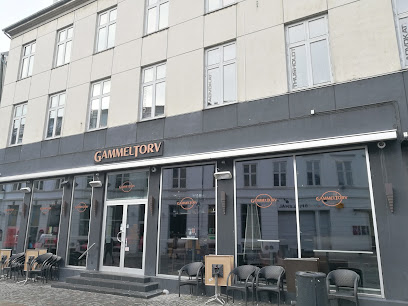
Gammeltorv
36.4 km
Slagelse's vibrant weekend nightclub where locals and visitors dance until dawn.
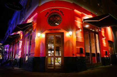
The Upper Hill
36.4 km
A lively, well-loved pub and wine bar on Slagelse’s main square, delivering authentic Danish nightlife, craft drinks, and regular social events in a warm, modern setting.
Slagelse Jazzklub
36.5 km
Western Zealand's premier jazz venue celebrating five decades of live music, dining, and authentic club culture.
Kasket karl
42.3 km
Discover authentic Danish hospitality and local color at Kasket Karl, Rudkøbing’s beloved bodega on Langeland—a lively gathering spot offering drinks, history, and community.
Langelands Jazzklub
42.6 km
Experience the vibrant local jazz scene at Langelands Jazzklub in Rudkøbing, where live music and island hospitality meet in one of Denmark’s most charming settings.
Swingergaarden
44.1 km
Discreet countryside swingers club near Slagelse, offering themed adult nights, intimate play spaces and a rules-based, consent-focused environment for open-minded guests.
For the vibe & atmosphere seeker
- Scenic
- Tranquil
- Relaxing
- Unique
- Casual
For the architecture buff
- Historic
- Parks & Gardens
- Heritage Neighborhoods
For the view chaser and sunset hunter
- Iconic Views
- Panoramas
- Sunset Spots
For the social media creator & influencer
- Photo Spots
- Selfie Spots
- Architectural Shots
- Reel-Friendly
For the eco-conscious traveler
- Low Impact
- Public-Transport Accessible
- Leave-No-Trace Critical
For the kind of experience you’re after
- Cultural Heritage
- Photowalk
- Roadtrip Stop
- Day Trip
- Myth & Legends
For how adventurous you want the journey to be
- Easy Access
Location Audience
- Family Friendly
- Senior Friendly
- Child Friendly
- Teen Friendly
- Solo Friendly
- Couple Friendly
- Solo Female Friendly
- Business Friendly


