
The Enchanting Karhunkierros Trail: A Finnish Wilderness Adventure
The Karhunkierros Trail, also known as the Bear's Ring, is Finland's most famous hiking route. This captivating trail stretches over 82 kilometers through the stunning landscapes of Oulanka National Park. It offers a mix of lush forests, rugged cliffs, and serene riverbanks, making it a paradise for nature lovers and adventure seekers alike. The trail is well-marked and suitable for both experienced hikers and beginners. Along the way, you'll encounter diverse wildlife, including reindeer, elk, and various bird species. The majestic waterfalls, such as the Kiutaköngäs Rapids, provide perfect spots for rest and reflection. Additionally, there are several well-maintained campsites and huts where you can spend the night under the starry Finnish sky. One of the highlights of the Karhunkierros Trail is the Ristikallio Cliffs, which offer breathtaking panoramic views of the surrounding wilderness. The trail is accessible year-round, but the best time to visit is during the late spring to early autumn months when the weather is mild, and the flora is in full bloom. Whether you're seeking solitude or a memorable group adventure, Karhunkierros Trail promises an unforgettable experience in the heart of Finland's natural beauty.
Local tips in Karhunkierros Trail
- Pack layers of clothing as weather can change rapidly.
- Bring a good pair of hiking boots to navigate the varied terrain.
- Carry a detailed map and a compass, even though the trail is well-marked.
- Stock up on food and water, as supplies along the trail are limited.
- Check for any trail updates or weather advisories before starting your hike.
The Enchanting Karhunkierros Trail: A Finnish Wilderness Adventure
The Karhunkierros Trail, also known as the Bear's Ring, is Finland's most famous hiking route. This captivating trail stretches over 82 kilometers through the stunning landscapes of Oulanka National Park. It offers a mix of lush forests, rugged cliffs, and serene riverbanks, making it a paradise for nature lovers and adventure seekers alike. The trail is well-marked and suitable for both experienced hikers and beginners. Along the way, you'll encounter diverse wildlife, including reindeer, elk, and various bird species. The majestic waterfalls, such as the Kiutaköngäs Rapids, provide perfect spots for rest and reflection. Additionally, there are several well-maintained campsites and huts where you can spend the night under the starry Finnish sky. One of the highlights of the Karhunkierros Trail is the Ristikallio Cliffs, which offer breathtaking panoramic views of the surrounding wilderness. The trail is accessible year-round, but the best time to visit is during the late spring to early autumn months when the weather is mild, and the flora is in full bloom. Whether you're seeking solitude or a memorable group adventure, Karhunkierros Trail promises an unforgettable experience in the heart of Finland's natural beauty.
When is the best time to go to Karhunkierros Trail?
Iconic landmarks you can’t miss
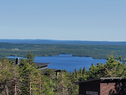
Rukatunturi
Discover the enchanting Rukatunturi ski resort in Finland, where thrilling slopes meet serene landscapes for the ultimate winter adventure.
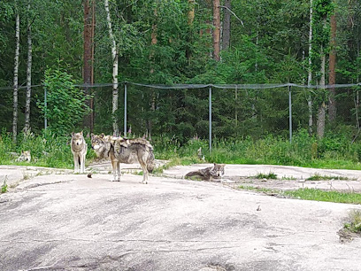
Ähtäri Zoo
Experience the magic of nature at Ähtäri Zoo, where diverse wildlife and beautiful Finnish landscapes create unforgettable memories for visitors of all ages.
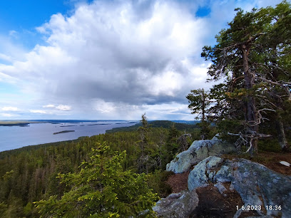
Koli National Park
Explore Koli National Park: A Natural Paradise of Stunning Landscapes, Diverse Wildlife, and Year-Round Outdoor Adventures in Finland.
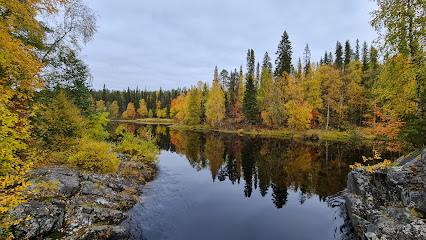
Oulanka National Park
Discover Finland's Oulanka National Park: A breathtaking natural wonderland perfect for outdoor adventures, wildlife spotting, and serene escapes in the wilderness.
Pieni Karhunkierros Circle Trail
Discover the breathtaking Pieni Karhunkierros Circle Trail in Kuusamo, Finland, a must-visit for nature lovers and outdoor enthusiasts seeking scenic beauty.
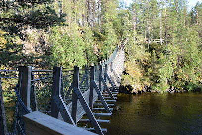
Pyhä-Luosto National Park
Experience the stunning landscapes and diverse wildlife of Pyhä-Luosto National Park, a nature lover's paradise in the heart of Finland.
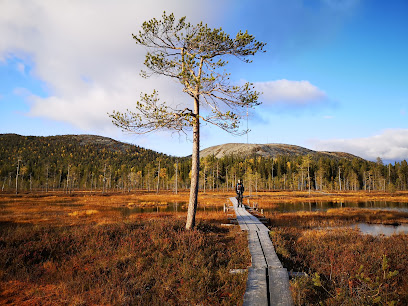
Myllykoski Rapids
Experience the breathtaking beauty of Myllykoski Rapids in Oulanka National Park, a must-visit for nature lovers and adventure seekers alike.
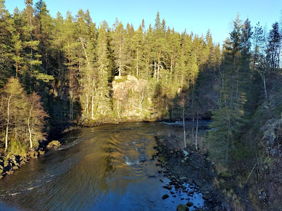
Liesjärvi National Park
Experience the serene beauty of Liesjärvi National Park, a haven for outdoor enthusiasts and nature lovers in Finland's breathtaking landscapes.
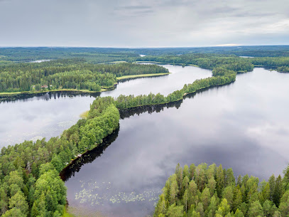
Oulanka Visitor Center
Explore the breathtaking landscapes of Oulanka National Park at the Oulanka Visitor Center, your gateway to Finland's wilderness adventure.
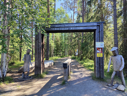
Riisitunturi National Park
Explore the natural wonders of Riisitunturi National Park in Finland—home to breathtaking landscapes, diverse wildlife, and endless outdoor adventures.
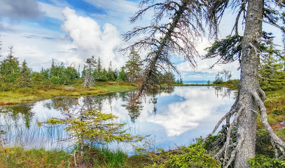
Ruka Pedestrian Village
Experience the magic of Ruka Pedestrian Village, where winter adventures and cozy charm come together in the heart of Finnish Lapland.
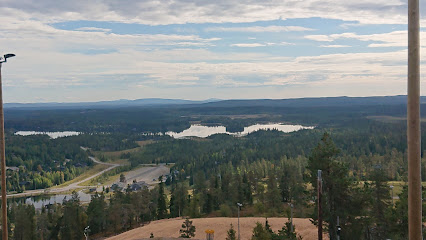
Kiutaköngäs
Explore the stunning landscapes and vibrant wildlife at Kiutaköngäs Nature Preserve, a hidden gem in Finland's Kuusamo region.
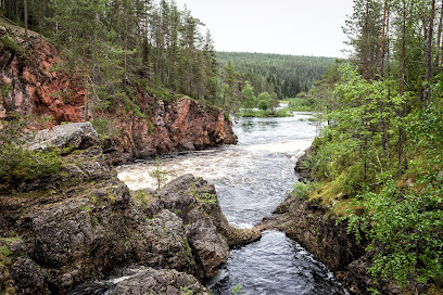
Tiilikkajärvi National Park
Explore Tiilikkajärvi National Park, a Finnish paradise of serene lakes, lush forests, and breathtaking trails for every outdoor enthusiast.
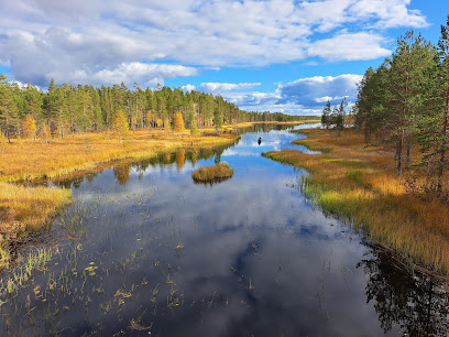
Korouoma
Discover the breathtaking landscapes and tranquil beauty of Korouoma Nature Preserve in Posio, Finland—an ideal destination for nature lovers and adventure seekers.
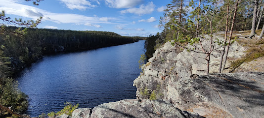
Jyrävä Rapids
Explore the breathtaking Jyrävä Rapids in Kuusamo, a natural attraction that offers stunning views and thrilling outdoor activities in Finland's wilderness.
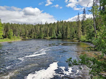
Unmissable attractions to see
Rukatunturi
Experience year-round adventure at Rukatunturi, Finland: skiing, hiking, and breathtaking Lapland scenery await!
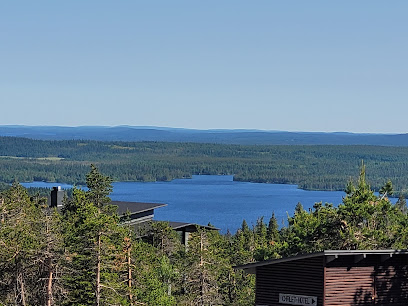
Ähtäri Zoo
Discover Finland's wildlife in a natural forest setting at Ähtäri Zoo, home to diverse Nordic animal species.
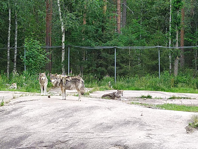
Holiday Club Kuusamo
Experience a tropical oasis in Finnish Lapland with a water park, spa, and endless activities at Holiday Club Kuusamon Tropiikki.
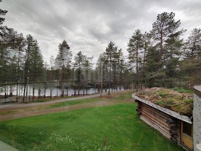
Kurjenrahka National Park
Explore Finland's natural beauty in Kurjenrahka National Park: hike scenic trails, spot diverse birdlife, and immerse yourself in tranquil wilderness.
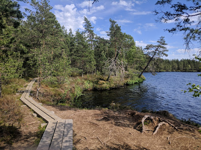
Myllykoski Rapids
Explore the breathtaking Myllykoski Rapids in Kuusamo, Finland, where nature's beauty and outdoor adventure unite in a stunning landscape.
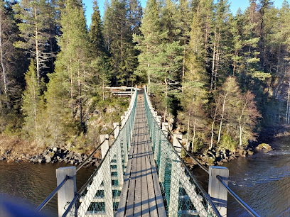
Liesjärvi National Park
Escape to Liesjärvi National Park: Discover Finnish nature with scenic trails, lush forests, and a glimpse into traditional rural life.
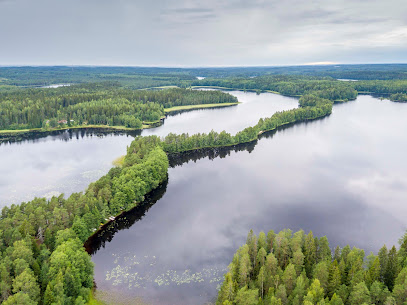
Oulanka Visitor Center
Discover Oulanka National Park: Explore trails, exhibits, and natural wonders at the gateway to Finland's wilderness adventure in Kuusamo.
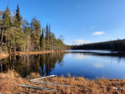
Riisitunturi National Park
Explore Finland's Riisitunturi National Park: Hike amid crown snow-covered trees and stunning Lapland scenery. A winter wonderland awaits!
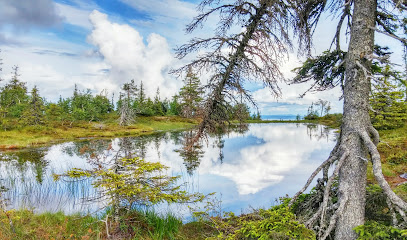
Ruka Pedestrian Village
Year-round destination in Finnish Lapland offering skiing, hiking, and a vibrant village atmosphere amidst stunning natural beauty.
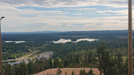
Kiutaköngäs
Experience the raw power and scenic beauty of Kiutaköngäs, a captivating rapids in Finland's Oulanka National Park.
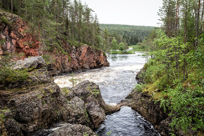
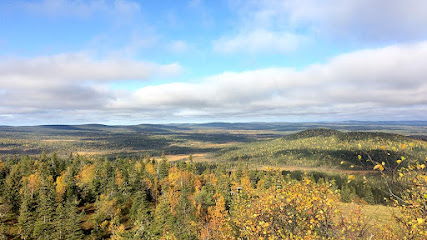
Syöte National Park
Explore Finland's Syöte National Park: Hike through ancient forests, discover unique mires, and experience winter's snowy magic.
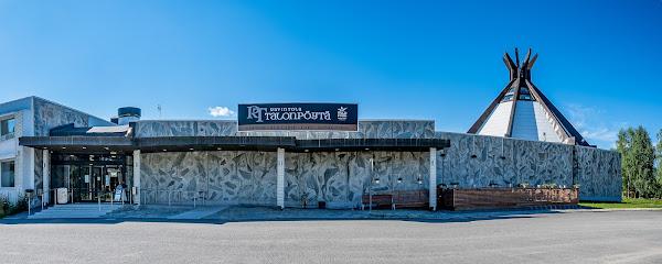
Ravintola Talonpöytä Kuusamo
Experience authentic Finnish cuisine in a cozy atmosphere at Ravintola Talonpöytä, Kuusamo. Local flavors and warm hospitality await!
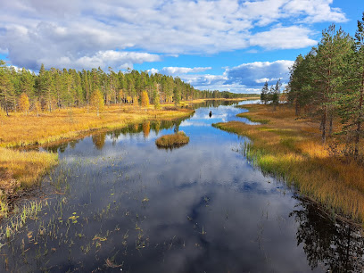
Tiilikkajärvi National Park
Explore Finland's wilderness at Tiilikkajärvi National Park: Hike scenic trails, discover unique ecosystems, and uncover historical borderland heritage.
Korouoma
Explore Korouoma: A Finnish Lapland canyon with stunning icefalls in winter and hiking trails amidst diverse nature year-round.
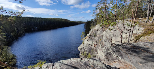
Hossa National Park
Explore Finland's Hossa National Park: pristine lakes, ancient rock art, and endless outdoor adventures in a vast wilderness.
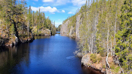
Essential places to dine
Oulanka National Park
Explore Oulanka National Park: A pristine natural wonderland in Finland filled with breathtaking landscapes and diverse wildlife.
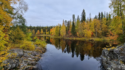
Pieni Karhunkierros Circle Trail
Discover Finland's natural beauty at Pieni Karhunkierros Circle Trail - a must-visit hiking destination with breathtaking views and rich wildlife.
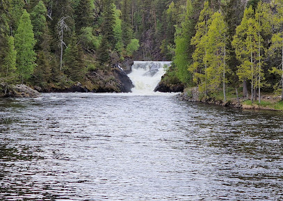
Myllykoski Rapids
Discover the breathtaking beauty of Myllykoski Rapids in Kuusamo – a must-visit destination for nature lovers and adventure seekers.
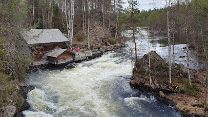
Ravintola Nokka
Discover the finest in Finnish dining at Ravintola Nokka – where local ingredients meet innovative cuisine against a stunning waterfront backdrop.
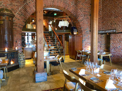
Restaurant Kaskis
Discover the essence of Finnish cuisine at Restaurant Kaskis in Turku - where fine dining meets innovative flavors.
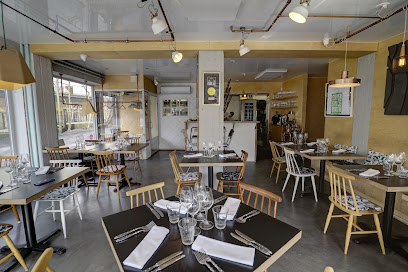
Kiutaköngäs
Explore Kiutaköngäs: A breathtaking nature preserve with stunning rapids and scenic trails in Kuusamo's Oulanka National Park.
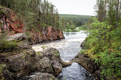
Restaurant Grön
Discover the art of fine dining at Restaurant Grön in Helsinki – where seasonal ingredients meet culinary creativity.
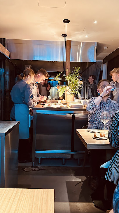
Restaurant Natura
Discover the essence of Scandinavian cuisine at Restaurant Natura in Helsinki – where organic meets delicious!
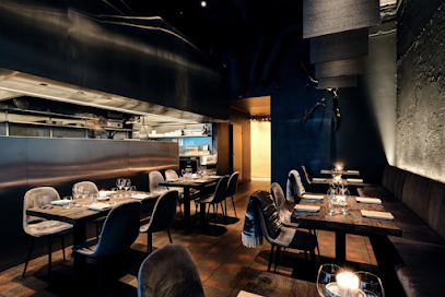
Basecamp Oulanka
Experience Finnish wilderness at Basecamp Oulanka – your gateway to adventure amidst stunning natural beauty.
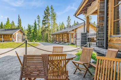
Reaktori
Experience authentic Finnish cuisine at Reaktori, an affordable restaurant in Tampere offering delicious meals in a cozy atmosphere.
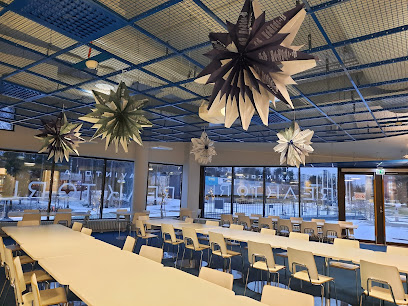
RukaTonttu
Experience culinary delights and cozy accommodations at RukaTonttu in Kuusamo – your gateway to adventure amidst Finland's stunning landscapes.
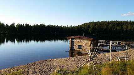
Juuman Leirintäalue
Discover tranquility and adventure at Juuman Leirintäalue - your gateway to Finland's breathtaking wilderness.
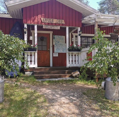
Oulangan Taika Oy
Discover unparalleled outdoor adventures at Oulangan Taika Oy in Finland's breathtaking Oulanka National Park.
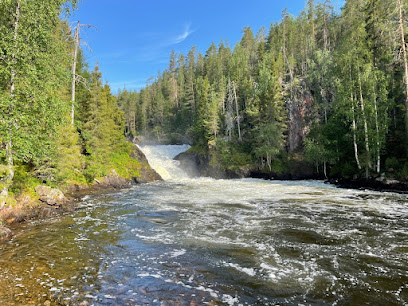
Ruka Peak - Boutique Hotel & Restaurant
Discover unparalleled luxury at Ruka Peak - where stunning nature meets exquisite hospitality in Kuusamo.

Royal Ruka Hotel & Restaurant
Discover unparalleled comfort and local flavors at Royal Ruka Hotel & Restaurant in Kuusamo's breathtaking landscapes.

Markets, malls and hidden boutiques
Rukatunturi
Explore Rukatunturi, Finland's premier ski resort, offering breathtaking landscapes, thrilling slopes, and unforgettable winter adventures.
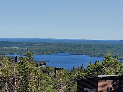
Shopping Centre Revontuli
Experience Shopping Centre Revontuli: A lively shopping hub in Rovaniemi, Finland, offering diverse stores, dining, and family-friendly entertainment.
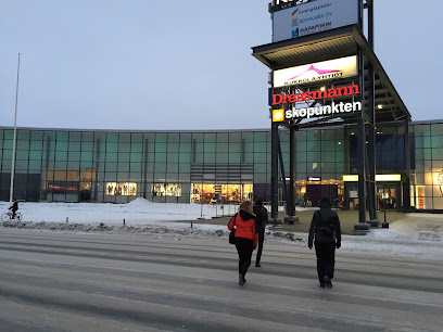
Oulanka National Park
Discover the breathtaking beauty of Oulanka National Park, a Finnish gem of nature with stunning landscapes, diverse wildlife, and endless outdoor adventures.
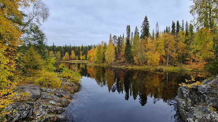
Pieni Karhunkierros Circle Trail
Discover breathtaking landscapes and diverse wildlife on the Pieni Karhunkierros Circle Trail, a must-visit hiking destination in Kuusamo, Finland.
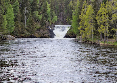
Myllykoski Rapids
Discover the breathtaking Myllykoski Rapids in Oulanka National Park, a perfect blend of adventure and serene natural beauty in Finland.
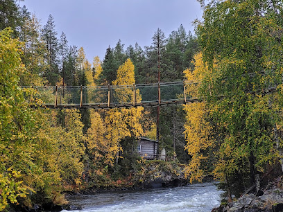
Oulanka Visitor Center
Explore the natural beauty of Oulanka National Park at the Oulanka Visitor Center - your gateway to Finnish wilderness adventures.
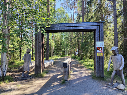
Ruka Pedestrian Village
Explore Ruka Pedestrian Village: A charming Finnish destination with stunning views, outdoor adventures, and delightful local culture.
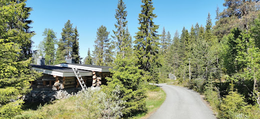
Kiutaköngäs
Experience the breathtaking beauty of Kiutaköngäs, a stunning nature preserve in Kuusamo, Finland, known for its majestic waterfall and scenic trails.
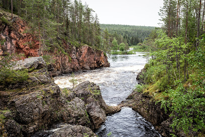
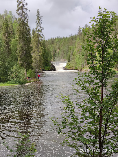
Jyrävä Rapids
Discover the breathtaking beauty of Jyrävä Rapids in Kuusamo, Finland, a perfect destination for nature lovers and adventure seekers alike.
Haltia - The Finnish Nature Centre
Explore Finland's natural beauty at Haltia, the Finnish Nature Centre, where adventure and education come together in the heart of nature.
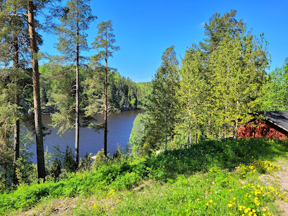
Basecamp Oulanka
Experience the beauty of Finnish nature at Basecamp Oulanka, your gateway to adventure in Oulanka National Park with comfort and local flavors.
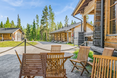
treeline Outdoors
Discover a premier camping store in Kangasala, Finland, offering top-quality gear and expert advice for all your outdoor adventures.
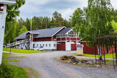
Juuman Leirintäalue
Discover the serene beauty of Juuman Leirintäalue, a perfect campground destination in Kuusamo, Finland, with cozy cottages and stunning nature trails.
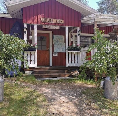
Ruka Ski Resort
Experience the magic of winter at Ruka Ski Resort, Finland's top destination for skiing, snowboarding, and family fun in a stunning snowy landscape.
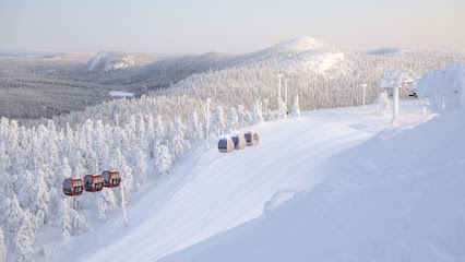
Oulangan Taika Oy
Discover the breathtaking beauty of Finland's Oulanka National Park with Oulangan Taika Oy's outdoor adventures and guided tours.
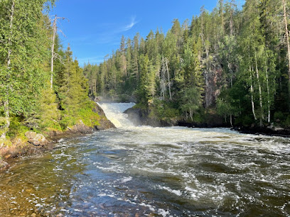
Essential bars & hidden hideouts
Rukatunturi
Discover Rukatunturi, Finland's enchanting ski resort, where thrilling slopes meet breathtaking landscapes in a winter paradise.
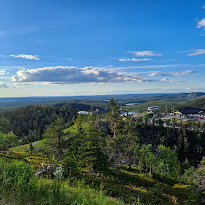
Holiday Club Kuusamo
Experience the ultimate relaxation and adventure at Holiday Club Kuusamo, a premier aquatic center nestled in Finland's stunning landscapes.
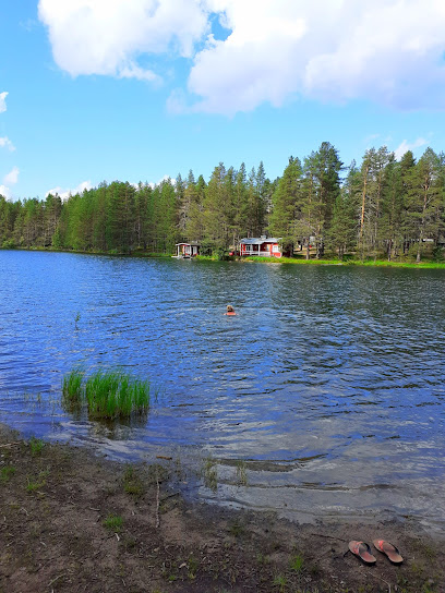
Oulanka National Park
Discover the untouched beauty of Oulanka National Park, a natural wonder in Finland, where adventure meets tranquility amidst stunning landscapes.
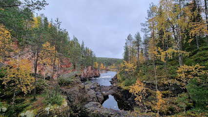
Pieni Karhunkierros Circle Trail
Discover the beauty of Finland on the Pieni Karhunkierros Circle Trail, a stunning hiking adventure through Oulanka National Park's pristine landscapes.
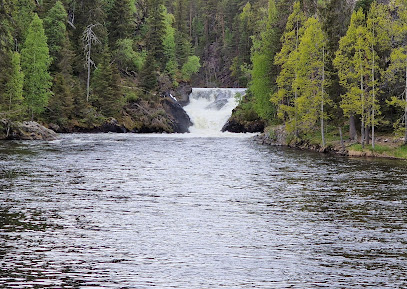
Myllykoski Rapids
Explore Myllykoski Rapids: A Natural Wonder in Kuusamo, Finland with Stunning Views and Thrilling Outdoor Activities.
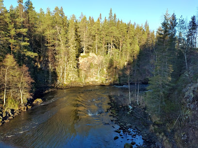
Oulanka Visitor Center
Explore Oulanka National Park's beauty at the Oulanka Visitor Center - your gateway to outdoor adventures in Finland's wilderness.
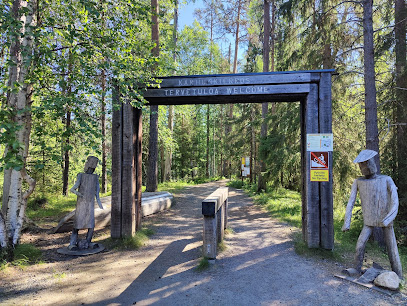
Scandic Rukahovi
Discover the perfect blend of comfort and adventure at Scandic Rukahovi in Kuusamo, your gateway to Finland's stunning wilderness.
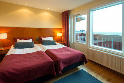
Ruka Pedestrian Village
Explore Ruka Pedestrian Village: A picturesque hub for outdoor adventures, vibrant culture, and Finnish charm in the heart of Kuusamo.
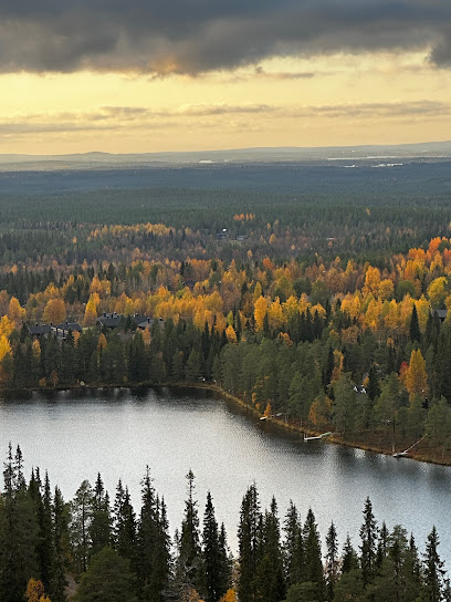
Kiutaköngäs
Discover the stunning Kiutaköngäs in Oulanka National Park, a paradise for nature lovers, boasting breathtaking rapids and vibrant wilderness.
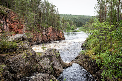
Basecamp Oulanka
Discover the ultimate adventure and relaxation at Basecamp Oulanka, your gateway to the breathtaking landscapes of Finland's Oulanka National Park.
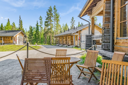
RukaTonttu
Experience Finnish hospitality at RukaTonttu, a charming restaurant and hotel nestled in the scenic Kuusamo region, offering local cuisine and relaxation.
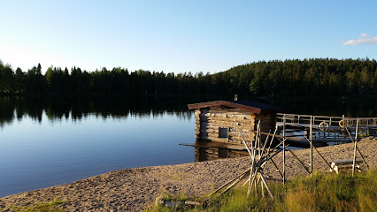
Juuman Leirintäalue
Experience the natural beauty and tranquility of Juuman Leirintäalue, a perfect getaway for campers and nature lovers in Kuusamo, Finland.
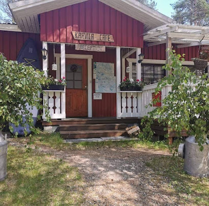
Ruka Peak - Boutique Hotel & Restaurant
Experience the perfect blend of luxury and nature at Ruka Peak, the premier boutique hotel and restaurant in Kuusamo, Finland.

Royal Ruka Hotel & Restaurant
Experience the beauty of Finnish Lapland at Royal Ruka Hotel & Restaurant, where comfort meets nature and culinary excellence.

Local Phrases about Karhunkierros Trail
-
- HelloMoi
[moy] - GoodbyeNäkemiin
[nah-keh-meen] - YesKyllä
[kuh-lah] - NoEi
[ay] - Please/You're welcomeOle hyvä
[oh-leh hoo-vah] - Thank youKiitos
[kee-tohs] - Excuse me/SorryAnteeksi
[ahn-tehk-see] - How are you?Miten menee?
[mee-ten meh-neh] - Fine. And you?Hyvin. Entä sinä?
[huh-veen. ehn-tah see-nah] - Do you speak English?Puhutko englantia?
[poo-hoot-koh eng-lahn-tee-ah] - I don't understandEn ymmärrä
[en um-mah-rah]
- HelloMoi
-
- I'd like to see the menu, pleaseSaisinko ruokalistan, kiitos
[sigh-sin-koh roo-oh-kah-lee-stahn, kee-tohs] - I don't eat meatEn syö lihaa
[en syh lee-hah] - Cheers!Kippis!
[kip-pis] - I would like to pay, pleaseHaluan maksaa, kiitos
[hah-lu-ahn mahk-sah, kee-tohs]
- I'd like to see the menu, pleaseSaisinko ruokalistan, kiitos
-
- Help!Apua!
[ah-poo-ah] - Go away!Mene pois!
[meh-neh poh-is] - Call the Police!Soita poliisille!
[soy-tah poh-lee-see-leh] - Call a doctor!Soita lääkärille!
[soy-tah lah-kah-ree-leh] - I'm lostOlen eksyksissä
[oh-len eks-uhk-sis-sah] - I'm illOlen sairas
[oh-len sigh-rahs]
- Help!Apua!
-
- I'd like to buy...Haluan ostaa...
[hah-lu-ahn oh-stah] - I'm just lookingKatson vain
[kaht-sohn vain] - How much is it?Paljonko se maksaa?
[pahl-yon-koh seh mahk-sah] - That's too expensiveSe on liian kallis
[seh ohn lee-ahn kahl-lees] - Can you lower the price?Voitko laskea hintaa?
[voyt-koh lah-skeh-ah hin-tah]
- I'd like to buy...Haluan ostaa...
-
- What time is it?Paljonko kello on?
[pahl-yon-koh keh-loh ohn] - It's one o'clockKello on yksi
[keh-loh ohn oohk-see] - Half past (10)Puoli (kymmenen)
[pwoh-lee (kuhm-meh-nehn)] - MorningAamu
[ah-moo] - AfternoonIltapäivä
[eel-tah-pah-ee-vah] - EveningIlta
[eel-tah] - YesterdayEilen
[ay-lehn] - TodayTänään
[tah-nahn] - TomorrowHuomenna
[hwoh-mehn-nah] - 1Yksi
[oohk-see] - 2Kaksi
[kahk-see] - 3Kolme
[kohl-meh] - 4Neljä
[neh-lyah] - 5Viisi
[vee-see] - 6Kuusi
[koo-see] - 7Seitsemän
[sight-seh-mahn] - 8Kahdeksan
[kah-dehk-sahn] - 9Yhdeksän
[ooh-dehk-sahn] - 10Kymmenen
[kuhm-meh-nehn]
- What time is it?Paljonko kello on?
-
- Where's a/the...?Missä on...?
[mee-ssah ohn] - What's the address?Mikä on osoite?
[mee-kah ohn oh-soi-teh] - Can you show me (on the map)?Voitko näyttää minulle (kartalla)?
[voyt-koh nayt-tah min-uh-leh (kar-tahl-lah)] - When's the next (bus)?Milloin on seuraava (bussi)?
[meel-loin ohn seh-oo-rah-vah (boo-see)] - A ticket (to ....)Lippu (....)
[leep-poo]
- Where's a/the...?Missä on...?
History of Karhunkierros Trail
-
The Karhunkierros Trail is steeped in the ancient history of the Sami people, the indigenous inhabitants of Northern Europe. The Sami have lived in the region for thousands of years, and their culture and traditions are deeply intertwined with the natural landscape of the trail. Petroglyphs and ancient artifacts found along the trail provide a glimpse into their way of life, including hunting, fishing, and reindeer herding.
-
During the medieval period, the Karhunkierros Trail served as an important trade route. Merchants and traders traveled through this rugged terrain to exchange goods such as furs, fish, and other natural resources. The trail connected remote villages and facilitated cultural exchanges between different communities. Remnants of ancient trading posts and waystations can still be found along the trail.
-
In the 19th and early 20th centuries, the forests surrounding the Karhunkierros Trail became a focal point for the logging industry. Timber was a highly sought-after resource, and logging camps were established throughout the area. The trail was used to transport logs to nearby rivers, which then carried them to mills and markets. The impact of logging on the landscape is still visible today, with old logging roads and abandoned cabins dotting the trail.
-
The creation of Oulanka National Park in 1956 marked a significant milestone in the conservation of the Karhunkierros Trail. The park was established to protect the unique natural environment and biodiversity of the region. Today, the trail is a key feature of the park, attracting thousands of hikers and nature enthusiasts each year. The park's establishment also led to increased efforts to preserve the cultural heritage of the area, including traditional Sami sites and historic landmarks.
-
The Karhunkierros Trail as we know it today was officially marked and opened to the public in the 1980s. Since then, it has grown in popularity and is now one of Finland's most famous hiking trails. The trail spans approximately 82 kilometers, offering hikers a challenging yet rewarding journey through diverse landscapes, including dense forests, river valleys, and rugged cliffs. Modern amenities, such as well-maintained paths, shelters, and information boards, enhance the hiking experience while preserving the natural beauty and historical significance of the trail.
Karhunkierros Trail Essentials
-
Karhunkierros Trail is located in the Oulanka National Park in northeastern Finland. The nearest international airport is Kuusamo Airport, approximately 60 kilometers away from the trail. From the airport, you can rent a car or take a taxi to reach the starting points of the trail. Alternatively, Rovaniemi Airport is another option, located about 200 kilometers away. From Rovaniemi, you can take a bus or rent a car to get to Karhunkierros Trail.
-
Public transportation options to Karhunkierros Trail include buses that run between Kuusamo and the trailheads. Renting a car is a popular and convenient option for exploring the area and reaching different sections of the trail. Taxis are also available but can be expensive due to the remote nature of the area. For those who prefer guided tours, several companies offer transportation and guided hikes.
-
The official currency in Finland is the Euro (EUR). Credit cards are widely accepted, including at most hotels, restaurants, and shops. However, it is advisable to carry some cash for smaller purchases, especially in rural areas. ATMs are available in Kuusamo and other nearby towns. Ensure you have enough cash before heading into the more remote areas of the trail.
-
The Karhunkierros Trail is generally very safe, with low crime rates. However, it is always wise to take standard precautions such as not leaving your belongings unattended and being cautious in crowded places like bus terminals. There are no specific high-crime areas targeting tourists in this region. While hiking, be prepared for changes in weather and ensure you have proper gear and supplies.
-
In case of emergency, dial 112 for immediate assistance. The local police, fire department, and medical services are available through this number. It is highly recommended to have travel insurance that covers medical emergencies and outdoor activities. Familiarize yourself with the location of the nearest medical facilities and carry a basic first aid kit while hiking.
-
Fashion: Do dress in layers and wear appropriate hiking gear, including sturdy boots. Avoid wearing flashy or overly revealing clothing. Religion: Do respect local customs and traditions, although the area is not particularly religious. Public Transport: Do be respectful of others and keep noise levels down. Don't eat or drink on public transport. Greetings: Do greet people with a simple 'Hello' or 'Hei' and a smile. Eating & Drinking: Do try local delicacies and be open to experiencing Finnish cuisine. Don't waste food, as it is considered impolite.
-
To experience Karhunkierros Trail like a local, plan your hike for the late spring or early autumn when the trail is less crowded and the weather is mild. Engage with locals and fellow hikers to learn about hidden gems and off-the-beaten-path spots. Don't miss the opportunity to try 'makkara' (Finnish sausage) grilled over an open fire at designated resting spots along the trail. Carry a map and a compass, even if you have a GPS, as some areas may have limited signal.
Trending Landmarks in Karhunkierros Trail
-
Rukatunturi
-
Ähtäri Zoo
-
Koli National Park
-
Oulanka National Park
-
Pieni Karhunkierros Circle Trail
-
Pyhä-Luosto National Park
-
Myllykoski Rapids
-
Liesjärvi National Park
-
Oulanka Visitor Center
-
Riisitunturi National Park
-
Ruka Pedestrian Village
-
Kiutaköngäs
-
Tiilikkajärvi National Park
-
Korouoma
-
Jyrävä Rapids
Nearby Cities to Karhunkierros Trail
-
Things To Do in Oulu
-
Things To Do in Luleå
-
Things To Do in Kuopio
-
Things To Do in Jyväskylä
-
Things To Do in Savonlinna
-
Things To Do in Vaasa
-
Things To Do in Tromsø
-
Things To Do in Tampere
-
Things To Do in Lahti
-
Things To Do in Bodø
-
Things To Do in Porvoo
-
Things To Do in Helsinki
-
Things To Do in Espoo
-
Things To Do in Turku
-
Things To Do in Jõhvi


